





Peeling Back the Waters
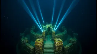
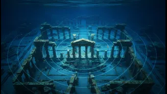
Recent explorations off the coast of Tamil Nadu, particularly near historical sites like Poompuhar (Kaveripattinam) and Mamallapuram, have reignited interest in India's submerged heritage. Teams from institutions like the National Institute of Ocean Technology
(NIOT) and the Tamil Nadu State Department of Archaeology (TNSDA) have been conducting systematic surveys to map the seabed. Their goal is to find archaeological evidence of ancient port cities and structures that, according to literature and local legends, were lost to the sea centuries ago. These efforts have recently borne fruit, with survey teams identifying structural anomalies and man-made features that warrant closer investigation. Just this month, fishermen off the Mahabalipuram coast recovered a stone murti estimated to be over 500 years old, further proof of the historical treasures the sea holds.
The Science of Seeing with Sound
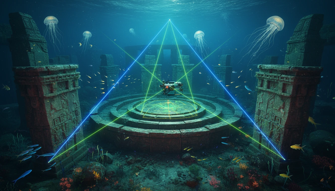
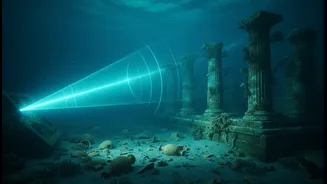
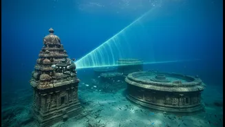
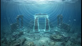
The key technology driving these discoveries is SONAR, which stands for Sound Navigation and Ranging. Specifically, marine archaeologists rely on advanced systems like side-scan sonar. Instead of using light, which barely penetrates the water's depths, sonar uses pulses of sound. A device called a transducer, often housed in a torpedo-shaped 'towfish' pulled behind a ship, emits fan-shaped sound waves that sweep across the seafloor. These sound waves bounce off the seabed and any objects on it, returning as echoes to the sensor. By measuring the time it takes for the echoes to return and their strength, the system can build a detailed picture of the ocean bottom.
Painting a Picture from Echoes
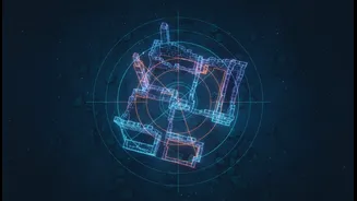
A sonar system doesn't create a 'photograph' in the traditional sense. Instead, it generates a sonogram, a visual representation of acoustic data. Hard surfaces, like stone blocks or metal, reflect a lot of sound and appear as dark areas in the image. Softer materials, like sand or silt, absorb more sound and show up as lighter areas. Most revealing are the 'acoustic shadows' that form behind raised objects. Just like a shadow cast by the sun, these dark, empty spaces in the sonar data can tell scientists the shape and even the height of a structure, like a submerged wall or a shipwreck, without ever laying eyes on it.
High-Tech for High Resolution
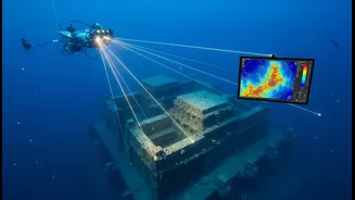
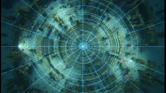
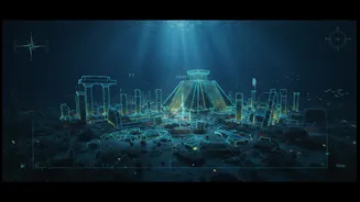
Modern sonar systems are incredibly sophisticated. Archaeologists often use dual-frequency sonar; lower frequencies can scan wider areas to find potential sites, while higher frequencies provide greater detail and sharper images for closer inspection. Many systems also use CHIRP (Compressed High-Intensity Radar Pulse) technology, which sends out a pulse across a wide band of frequencies. This enhances the resolution significantly, allowing researchers to distinguish between natural rock formations and man-made structures with greater confidence. The data from these scans is then stitched together by powerful computers to create a comprehensive map of the surveyed area, highlighting anomalies for future dives.
The Next Wave of Discovery
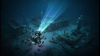
Identifying an anomaly with sonar is just the first step. The data is carefully analysed to pinpoint targets of interest. The next phase typically involves deploying Remotely Operated Vehicles (ROVs) equipped with cameras or sending down teams of divers to visually inspect and document the findings. These surveys off the Tamil Nadu coast, building on decades of work, are part of a renewed push to explore India's vast maritime history. As mentioned in Sangam literature, ancient ports like Poompuhar were vital trade hubs, and finding physical proof helps connect the dots between historical texts and archaeological reality. The sonar images are the first clues in a grand detective story, helping to reconstruct a forgotten chapter of India’s past.