


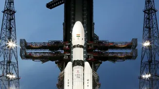

A Groundbreaking Partnership in Orbit
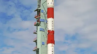
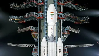
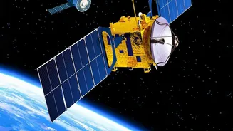
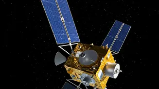
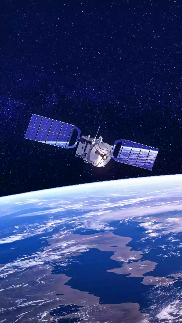
NISAR, which stands for NASA-ISRO Synthetic Aperture Radar, is an advanced Earth-observation satellite born from a joint effort between the US and Indian space agencies. Launched in 2025, its primary goal is to provide incredibly detailed data on changes
happening to our planet's surface, from shifting ice sheets to the subtle movements that precede earthquakes. The satellite is equipped with two powerful radar systems—an L-band instrument built by NASA and an S-band instrument from ISRO. This dual-frequency capability makes it uniquely powerful. By orbiting the Earth every 12 days, NISAR creates a consistent and reliable stream of information, mapping nearly the entire globe with remarkable frequency. Public release of its data began in mid-2026, opening a new frontier for scientists and disaster management agencies.
The Power of Seeing Through Clouds
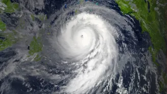
The key to NISAR's effectiveness, especially for a monsoon-prone country like India, is its use of Synthetic Aperture Radar (SAR). Unlike standard optical satellites that are essentially cameras in space, SAR doesn't need sunlight and can see right through clouds, smoke, and darkness. It works by sending out microwave signals to the Earth's surface and reading the echoes that bounce back. This all-weather, day-and-night capability is a game-changer for disaster management. Floods often occur during intense storms when cloud cover makes it impossible for regular satellites to see the ground. With SAR, authorities can get a clear picture of the situation on the ground precisely when it is needed most.
From Radar Data to Flood Warnings
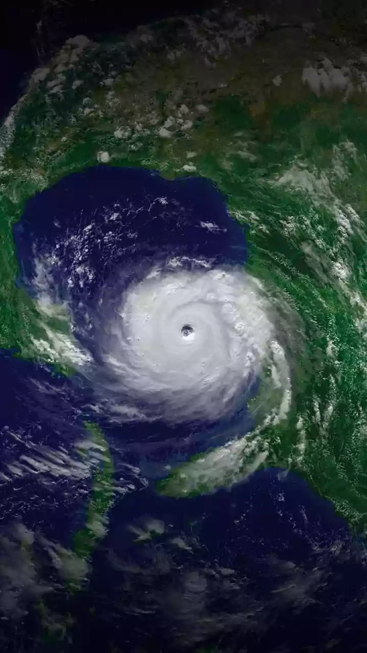
NISAR’s technology is especially adept at detecting water. Calm water acts like a mirror to radar signals, reflecting them away from the satellite and appearing as dark areas in the final image. By comparing images taken before and during a flood, analysts can instantly map the extent of inundation with high precision. Even more impressively, the L-band radar can penetrate through vegetation canopies, allowing it to detect floodwaters hidden beneath forests and croplands—a feat that has been difficult with past technologies. The mission can measure changes in water levels down to the centimeter. This turns the satellite into a 'virtual stream gauge' across the country's vast river basins, augmenting the network of physical gauges on the ground and providing a much more comprehensive view of an unfolding flood.
A Game-Changer for Indian Disaster Management
For India, which has historically relied on its RISAT series of radar satellites, NISAR represents a quantum leap in capability. The data, expected to be available to response agencies within hours of an observation, will be invaluable for everything from issuing timely evacuation warnings to planning relief efforts and assessing damage after the waters recede. Agencies like the National Disaster Management Authority (NDMA) can use these near-real-time maps to direct resources more effectively, identifying which villages are cut off and which infrastructure is compromised. The ability to monitor changes upstream can provide crucial lead time for communities downstream, turning reactive responses into proactive preparation.
More Than Just Floods
While its impact on flood management is profound, NISAR's applications extend much further. The same high-resolution data will be used to monitor agricultural health, track the melting of Himalayan glaciers, identify areas at risk of landslides, and even measure groundwater depletion. By detecting tiny shifts in the ground surface, it can offer insights into seismic activity and volcanic unrest. This wealth of information will support a wide range of scientific research and public-interest applications, from improving crop insurance models to making smarter decisions about urban planning and infrastructure development. The mission is a testament to how space technology can provide tangible benefits, enhancing both safety and sustainability.