


Our Planet’s Watchful Guardians
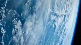
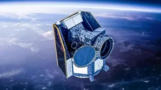
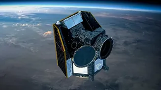
Earth Observation (EO) satellites are spacecraft equipped with sophisticated sensors that continuously gather data about our planet's physical, chemical, and biological systems. Unlike a simple photograph, these satellites capture information across different
light spectrums, including infrared and microwave, revealing details invisible to the naked eye. This remote sensing technology allows scientists, governments, and farmers to monitor vast and often inaccessible areas with incredible regularity and precision. They can track changes in land use, measure atmospheric gases, assess water quality, and monitor vegetation health from hundreds of kilometres above the surface. This stream of data provides a global-scale health check, forming the backbone of modern environmental science and resource management.
Documenting a Changing Climate
When it comes to climate change, EO satellites are our primary witnesses. They provide undeniable, large-scale evidence of our planet's transformation. By using instruments like altimeters, which measure height by bouncing radio or laser pulses off the surface, satellites can track the thickness of polar ice sheets and measure sea-level rise with millimetre-level accuracy. Other sensors, called radiometers, detect heat radiated from the ocean, giving us precise readings of sea surface temperatures, a key indicator of global warming. Furthermore, specialised satellites can detect the concentration of greenhouse gases like carbon dioxide (CO2) and methane in the atmosphere, identifying emission hotspots and helping scientists refine climate models. This continuous, global monitoring is vital for understanding the pace of climate change and preparing communities for its impacts, from extreme weather events to long-term environmental shifts.
A Revolution in the Fields
For agriculture, satellite technology is sparking a new green revolution, one based on data and precision. This approach, known as 'precision agriculture', allows farmers to manage their fields more efficiently than ever before. Satellite imagery helps identify variations in crop health across a field. By analysing vegetation indices like NDVI, which measures plant greenness and vigour, farmers can detect early signs of stress from pests, diseases, or nutrient deficiencies. This allows for targeted interventions—applying fertiliser or water exactly where it's needed, rather than across the entire farm. This not only boosts crop yields and reduces costs but also minimises environmental impact by preventing excess chemical runoff. Furthermore, satellites provide crucial data on soil moisture and weather patterns, helping to forecast yields, manage irrigation, and build resilience against drought.
The Indian Context: ISRO’s Impact
India, through the Indian Space Research Organisation (ISRO), has become a global leader in using space technology for national development, particularly in agriculture. For decades, ISRO's satellites, such as the Resourcesat and RISAT series, have provided invaluable data for the nation. The RISAT satellites, equipped with Synthetic Aperture Radar (SAR), have the powerful ability to see through clouds, making them essential for monitoring crops like rice during the cloudy monsoon season. This data fuels flagship government programs like FASAL for crop forecasting and NADAMS for drought monitoring and assessment. These space-driven insights empower policymakers with accurate crop acreage estimates for better food security planning and help farmers make informed decisions. Socio-economic studies have shown that using satellite-based advisories can improve productivity by 2-5% while reducing input costs by 5-10%.