


Meet Prithvi: A New Kind of AI
In a significant leap for climate science, NASA has collaborated with IBM to create a powerful new artificial intelligence model called Prithvi, the Sanskrit name for Earth. This isn't just another algorithm; it's what's known as a "foundation model."
Think of it like a brilliant student who has spent years studying a massive library of information. In this case, Prithvi was trained on 40 years of NASA's global weather and climate data. By processing this immense dataset, the model learns to identify complex patterns in the Earth's systems that might otherwise go unnoticed. The goal isn't to focus on one specific task, but to create a flexible, reusable AI that can be adapted for a wide range of scientific applications. In keeping with NASA's commitment to open science, the Prithvi models are available to the public, allowing researchers worldwide to build upon them.
What Makes a Foundation Model Different?
The key innovation behind Prithvi lies in its structure as a foundation model. Unlike traditional AI, which is typically trained for a single, narrow purpose, a foundation model is trained on a vast, unlabeled dataset. This allows it to develop a broad, generalized understanding of a subject. From there, it can be fine-tuned for specific, downstream tasks—like mapping flood plains or tracking wildfire burn scars—with much smaller amounts of new, labeled data. This approach dramatically reduces the time, cost, and computational power needed to develop new applications. NASA's Chief Science Data Officer, Kevin Murphy, highlighted that these models are reshaping data accessibility by significantly lowering the barrier to entry for using the agency's vast scientific archives. This shift democratizes access to advanced geospatial AI, empowering a larger community of scientists to tackle urgent environmental challenges.
Real-World Climate Applications
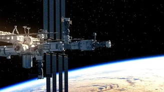
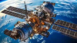
The potential applications for Prithvi are vast and vital. Scientists are already using it for tasks that are critical to monitoring and responding to climate change. The model has been fine-tuned to map floods and wildfire damage, predict crop yields, and even track potential locust breeding grounds in Africa. One of its most powerful capabilities is a process called "downscaling." It can take coarse, long-term climate simulations and increase their resolution by a factor of 12, providing a much more detailed view at a regional level without the prohibitive computational cost. This can help improve the accuracy of weather and climate models, leading to better predictions for severe weather events like hurricanes. A version of the model has even been deployed on the International Space Station, demonstrating its ability to analyze data in orbit and speed up the delivery of insights.
The Bigger Picture for Climate Science
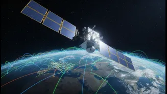
Prithvi and its sibling models represent more than just an incremental improvement; they signal a fundamental shift in how Earth science is conducted. For decades, the primary challenge has been collecting enough data. Now, the bottleneck is often the ability to process and extract meaningful knowledge from the petabytes of information beamed down from satellites every day. AI foundation models help solve this problem by automating the analysis of complex data, from infrared imagery to atmospheric dynamics. As Karen St. Germain, director of NASA's Earth Science Division, noted, the rapid changes on our planet demand this kind of strategy to meet the urgency of the moment. By bringing together scientific expertise with AI, researchers can better understand the strengths and limitations of the models, ensuring their outputs are accurate and valuable.
The Road Ahead and Future Potential
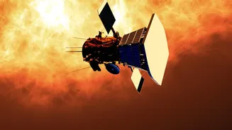
The Prithvi family of models is continually expanding. The initial geospatial model has been joined by Prithvi-weather-climate, and another model named Surya (Sanskrit for Sun) has been developed to forecast space weather. This collaborative ecosystem, built on open-source principles, is designed to accelerate discovery. Challenges remain, including the computational sustainability of such large models and ensuring users understand where the AI might "hallucinate" or make errors. However, the promise is immense. In the future, these tools could give authorities and the public alike the ability to visualize how climate change might impact a specific street or neighborhood, from flood risk to changes in tree cover, helping to inform decisions on how to prepare, respond, and mitigate the effects of a changing planet.