


Science Before a Settlement
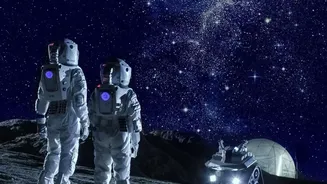
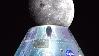
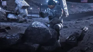
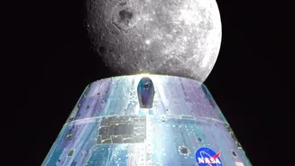
Under its Artemis program, NASA is planning more than just a fleeting visit to the Moon; the goal is a sustained human presence. This 'Moon Base' will be a hub for science and exploration, likely located at the resource-rich South Pole. But building a habitat
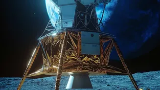
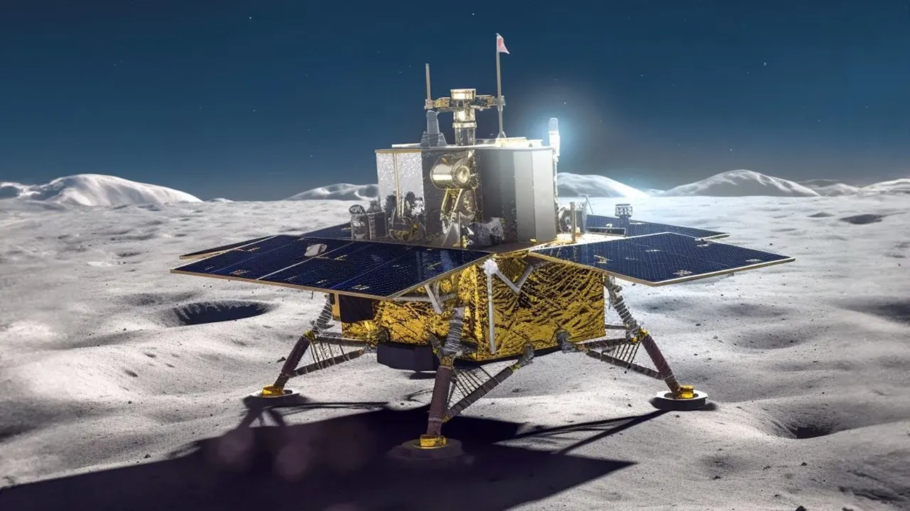
239,000 miles from Earth isn't simple. To ensure the safety of astronauts and the success of the mission, NASA is sending a wave of robotic explorers first. In late 2026, the agency announced three new sets of scientific instruments chosen to fly on commercial landers. These missions are designed to be an 'interplanetary survival guide,' gathering critical data to de-risk the monumental task of living and working on another world.
The New Lunar To-Do List
The recently selected investigations focus on three key areas for a future base. First is the Lunar Environment Monitoring Station (LEMS-SP), an autonomous station that will act as a lunar weather and seismic monitor, tracking micrometeoroid impacts and ground stability. Second, the Geophysical Investigation for Mapping Lunar Interior (GIMLI) will explore a feature called the Marius Hills Pit. Scientists believe it could be an entrance to a vast underground lava tube, which could offer future astronauts a natural shelter from radiation and extreme temperatures. The third, an observatory suite known as DISCO, will hunt for water ice in micro-cold traps and study how rocket exhaust physically disturbs the lunar soil—vital information for designing safe landing pads and infrastructure.
The Ground Truth Problem
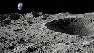
While these missions will gather crucial information, they also highlight a fundamental challenge: we don't know enough about the ground itself. The lunar surface is covered in a material called regolith, a blanket of fine, abrasive dust and rock fragments formed over billions of years. This isn't like soil on Earth. Lunar regolith is electrostatically charged, incredibly sharp, and can damage spacesuits and clog machinery. For engineers planning to build habitats, landing pads, and roads, the lack of detailed geotechnical data is a major hurdle. How will foundations settle? How deep do you need to anchor a structure? How will the fine dust interact with construction equipment? Answering these questions requires much more detailed surface information than we currently have.
Mapping the Final Frontier
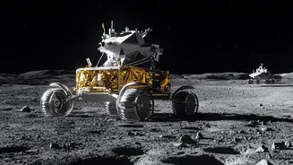
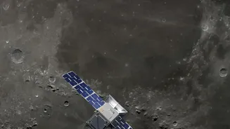
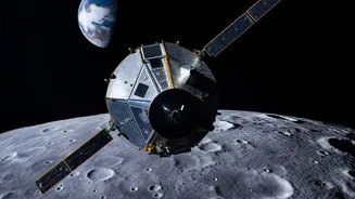
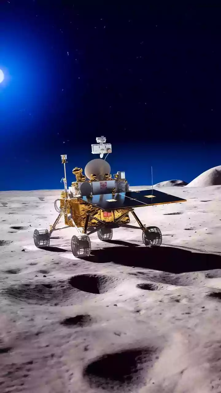
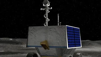
Solving the data gap requires a multi-pronged approach. Orbiters like the Lunar Reconnaissance Orbiter (LRO) have been creating high-resolution 3D maps, providing the most accurate topography to date. This helps mission planners identify safe landing zones and understand the lighting conditions at the poles, where the sun stays low on the horizon, creating long, dark shadows and extreme cold. However, orbital data can't tell the whole story. To get 'ground truth,' NASA is relying on robotic missions like the upcoming VIPER rover. VIPER is designed to drive into permanently shadowed craters at the South Pole and drill into the surface to directly analyze water ice deposits, creating the first true resource maps of the Moon. Data from VIPER and other landers will provide the detailed, on-the-ground knowledge needed to turn the architectural blueprints of a Moon base into an engineering reality.