






An Unblinking Eye from 36,000 km
Most earth observation satellites operate in Low Earth Orbit (LEO), circling the globe and capturing high-resolution images. However, they can only view a specific location for a few minutes before orbiting away, returning hours or even days later. Persistent
imaging changes this entirely. By placing the new EOS-05 satellite in a geostationary orbit, approximately 36,000 kilometres above the Earth, it matches the planet's rotation. From the ground, it appears to hover in the same spot, allowing it to watch a wide area of the Indian subcontinent continuously. This is the difference between taking an occasional snapshot and having a live video feed, providing a constant stream of information to monitor developing situations.
The Technology Driving the Change
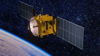
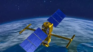
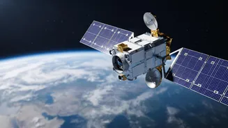
At the heart of this new initiative is the EOS-05, described by ISRO as a state-of-the-art Earth observation spacecraft. This 2,367 kg satellite is equipped with multispectral imagers that can capture details day and night. The real innovation lies in combining this imaging capability with its geostationary position, allowing for a constant "stare" at a specific area of interest. Its instruments can capture images of the Indian landmass frequently, which is crucial for tracking fast-moving events. This data will be downlinked to ground stations in near-real-time, enabling authorities to detect changes and flag anomalies, from unusual border movements to the rapid intensification of a cyclonic system.
Fortifying National Security
For India's defence and security apparatus, persistent imaging is a game-changer. The ability to continuously monitor sensitive border regions provides an unprecedented level of situational awareness. Instead of relying on periodic satellite passes or other forms of reconnaissance, security forces can get a near-live feed of activities across frontiers. This constant vigilance can help detect infiltration attempts, monitor the build-up of military infrastructure by adversaries, and track troop movements without putting personnel at risk. It acts as a powerful deterrent and an early warning system, giving decision-makers crucial time to respond to emerging threats and enhancing India's ability to protect its territorial integrity.
A New Dawn for Weather Forecasting
While the security implications are profound, the mission's impact on civilian life will be equally significant, particularly in weather prediction and disaster management. The India Meteorological Department (IMD) will be able to track the formation and movement of cyclones with far greater precision, observing changes in cloud structure and intensity minute by minute. This is crucial for "nowcasting"—predicting extreme weather events like cloudbursts, thunderstorms, and flash floods just before they happen. More accurate and timely warnings will give authorities more time to evacuate vulnerable populations, move resources, and ultimately save countless lives while minimising economic damage.