






A New, Unblinking Eye in the Sky
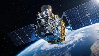
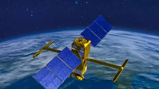
EOS-05, also designated GISAT-1A, represents a significant evolution in India's Earth observation capabilities. Launched by the Indian Space Research Organisation (ISRO), it is a state-of-the-art geo-imaging satellite. Unlike most observation satellites
that orbit the Earth from pole to pole in a low orbit, passing over a specific location only a few times a day, EOS-05 is positioned in a geostationary orbit approximately 36,000 kilometres above the equator. This high perch is the satellite's defining feature, allowing it to match the Earth's rotation and remain fixed over the Indian subcontinent. This constant presence transforms how India can monitor its land, borders, and oceans, shifting from periodic snapshots to persistent surveillance.
The Geostationary Advantage: Near Real-Time Monitoring
The primary expansion of ability comes from EOS-05's 'temporal resolution'— a technical term for how frequently it can take pictures of the same place. From its fixed position, the satellite can image the entire Indian landmass approximately every 30 minutes. For high-priority areas, this time shrinks to as little as every five minutes. This capability is a game-changer. For rapidly evolving events like a cyclonic storm making landfall, a forest fire spreading, or a flood cresting, having updated imagery every few minutes provides an unprecedented level of situational awareness. It moves the needle from assessing damage after the fact to actively monitoring a disaster as it unfolds, enabling more effective and timely responses.
Seeing More Than Ever Before
EOS-05 is equipped with sophisticated imaging payloads, including a 700 mm telescope and advanced sensors. It operates across multiple spectral bands, including visible, near-infrared, and short-wave infrared. This allows it to see far more than a standard camera. By capturing data from different parts of the light spectrum, analysts can assess crop health, detect mineral compositions, monitor water quality, and track changes in vegetation. The inclusion of hyperspectral imaging further divides the spectrum into many narrow bands, providing a level of detail that can help identify specific materials and environmental conditions with much higher accuracy. This rich data empowers everything from precision agriculture to environmental science.
A Force Multiplier for National Security
While ISRO has not detailed its strategic applications, a satellite with the ability to persistently monitor large areas holds obvious importance for national security. The ability to frequently revisit areas of interest along land borders and maritime zones provides a powerful tool for monitoring movements and changes. Unlike low-orbit satellites whose passes can be predicted, a geostationary imager offers a constant watch. This strengthens India's surveillance capabilities, complementing the existing fleet of Cartosat and RISAT satellites that provide high-resolution and all-weather radar imaging. This persistent stare helps build a more comprehensive and dynamic picture of the nation's strategic environment.
Enhancing Disaster Management and Climate Resilience
India is prone to a wide array of natural disasters, from cyclones and floods to landslides and droughts. Satellites are already a critical component of the country's disaster management framework. EOS-05 dramatically enhances this. For example, during a cyclone, the satellite can provide continuous updates on the storm's intensity and track, helping authorities issue precise warnings and plan evacuations. In the case of large-scale flooding, it can map the extent of inundation in near real-time, guiding rescue teams to the most affected areas. This constant stream of information turns satellite data into actionable intelligence, saving lives and mitigating damage.