



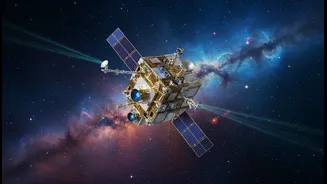


What is the GRITSS Mission?
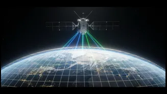
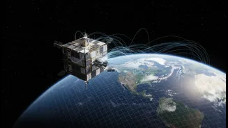
Launched in early July 2026, GRITSS is a small satellite, about the size of a suitcase, with a monumental task. The name stands for Geodetic Reference Instrument Transponder for Small Satellites, and its job is to help scientists measure our planet more
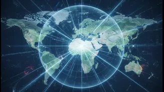
accurately than ever before. It is not an upgrade to the GPS in your phone, but rather a foundational technology that will make systems like GPS, and much more, incredibly precise. The core idea is to perfect the global grid, known as the International Terrestrial Reference Frame (ITRF), which is the master blueprint for all location-based data on Earth.
Fixing a Millimetre-Sized Problem
Our current global grid is created by combining measurements from three separate technologies: satellite navigation systems like GPS, laser ranging stations that bounce beams off satellites (SLR), and massive radio telescope arrays (VLBI). The problem is that tying these different systems together on the ground introduces tiny errors, some only a few millimetres wide. While that sounds insignificant, these small errors add up on a global scale, limiting our ability to measure subtle but critical changes to our planet. GRITSS solves this by acting as a single, unified target in space that all three systems can track at once, creating a direct link that eliminates those ground-based errors.
A Revolution for Climate Science
The mission's goal is to achieve 1-millimetre accuracy in our global model of the Earth. This level of precision is a game-changer for climate science. For India, it means being able to monitor the retreat of Himalayan glaciers with unprecedented detail or track the depletion of vital groundwater reserves more effectively. Scientists will be able to measure sea-level rise not in averages, but with enough accuracy to understand regional impacts on coastlines. This will lead to far more reliable climate models, helping to better predict the intensity of phenomena like the monsoon or ocean cycles such as El Niño.
Powering Future Technologies
A hyper-accurate global reference frame is the bedrock for the next generation of technology. For urban planners in rapidly growing Indian cities, this means better data for designing smarter infrastructure, from public transport routes to utility networks. It is also essential for the future of autonomous systems. Self-driving cars, delivery drones, and automated agricultural equipment all require positioning data that is not just good, but perfect. By refining the very grid these technologies rely on, GRITSS is helping to build a safer and more efficient future.
Mapping Earth Like Never Before
Beyond its immediate applications, GRITSS serves as a stable baseline for future missions designed to map the Earth's surface. Imagine topographical maps so detailed they can show subtle shifts in the land before an earthquake or the precise impact of coastal erosion after a storm. This new standard of accuracy will enhance virtually every field of Earth science, moving us from simply observing change to proactively managing its impacts. It doesn't just improve the map; it improves the reliability of every single piece of information we place upon it.