



The Silent Invasion of Salt
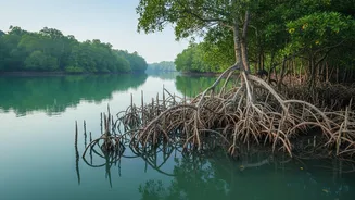
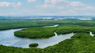
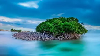
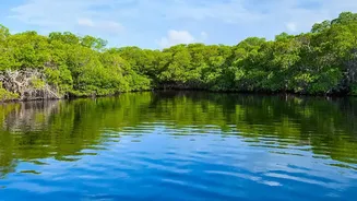
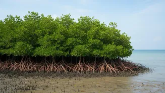
Straddling India and Bangladesh, the Sundarbans is the world's largest mangrove forest, a UNESCO World Heritage Site teeming with biodiversity, including the iconic Bengal tiger. But this natural fortress is under severe stress. Climate change, leading
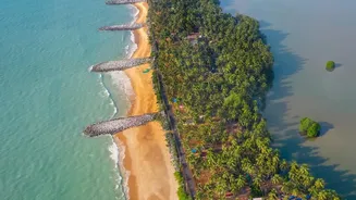
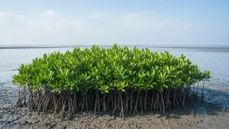
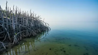
to rising sea levels and a reduction in freshwater flow from Himalayan rivers, allows saline ocean water to push deeper into the delta. This increasing salinity is a slow poison. It chokes the growth of vital mangrove species like the Heritiera fomes, locally known as Sundri, which are not adapted to high salt levels. This degradation not only shrinks the forest but also reduces its ability to act as a natural barrier against cyclones and storm surges, endangering the 4.5 million people who live in the region. Furthermore, it devastates local fisheries, a primary source of livelihood for many communities.
Giving the Forest a Digital Nervous System
Fighting this threat requires understanding it in real time. This is where telemetry comes in. Think of it as a digital nervous system for the forest. It involves deploying a network of remote sensors in the rivers and channels of the Sundarbans. These devices continuously measure key environmental parameters like water salinity, pH levels, temperature, and tidal flow. Instead of relying on periodic, manual sample collections, which are difficult and time-consuming in such a vast and inaccessible terrain, telemetry systems transmit this crucial data wirelessly to a central server. This provides scientists and forest managers with a live, dynamic map of the forest's health, something that was previously impossible to achieve.
From Raw Data to Life-Saving Action
The true power of real-time telemetry lies in its ability to turn data into actionable intelligence. By observing the flow of data, authorities can identify exactly when and where salinity levels are spiking. This allows for proactive rather than reactive management. For instance, if data shows a sudden rise in salinity in a particular channel, officials can investigate the cause—perhaps a breached embankment or a blocked freshwater artery—and take immediate corrective action. This early warning system is crucial for managing freshwater releases from upstream barrages to flush out excess salt. It also helps in identifying the most resilient mangrove species for targeted reforestation efforts, ensuring that new saplings are planted in areas where they have the highest chance of survival. This data-driven approach is far more effective than broad, untargeted conservation measures.
Challenges and the Path Forward
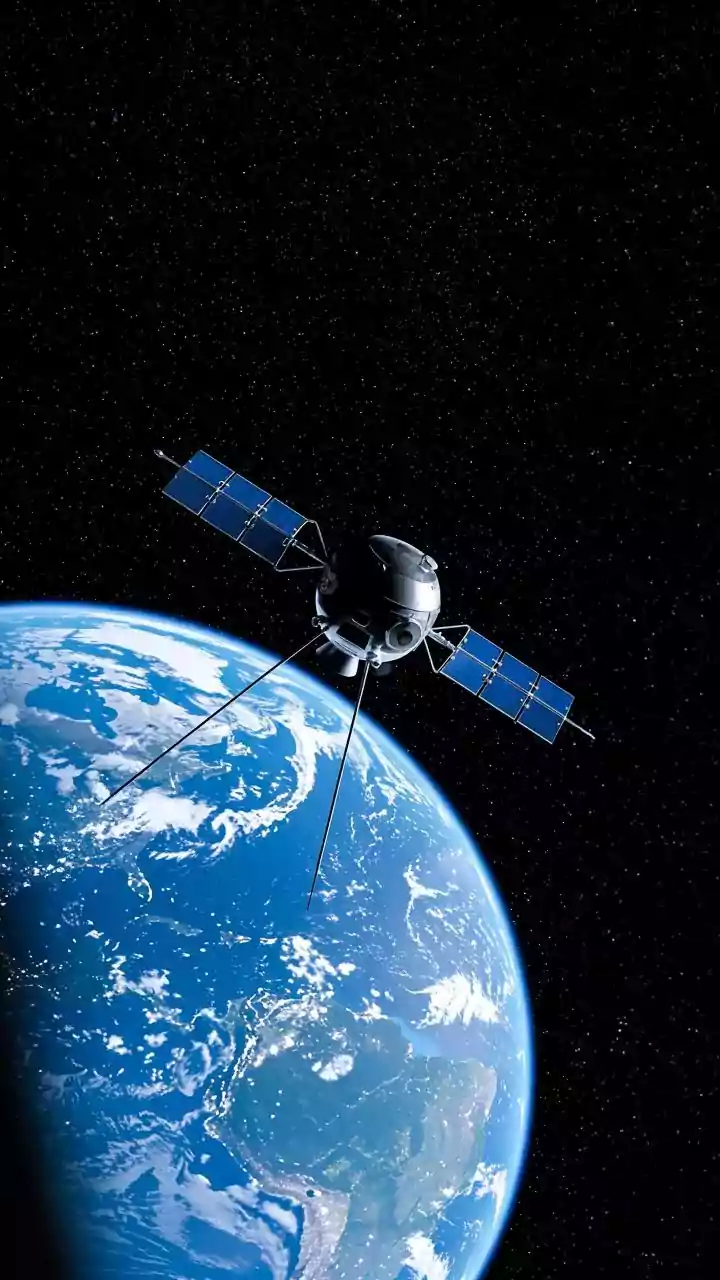
Implementing and maintaining a telemetry network in the harsh, corrosive environment of the Sundarbans is not without its challenges. The sophisticated sensors require regular maintenance and calibration, and ensuring a consistent power supply and data connectivity in remote islands is a significant logistical hurdle. Moreover, the cost of deployment can be high, and there is a need to train local personnel to manage and interpret the data effectively. Despite these obstacles, the potential is enormous. The next step is to integrate this ground-level telemetry data with satellite imagery and artificial intelligence. This would enable the creation of powerful predictive models that could forecast changes in salinity, allowing authorities to anticipate threats and allocate resources even more efficiently, truly turning the tide against the silent intrusion of the ocean.