





The Pacific's Climate Engine: ENSO
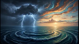
At the heart of this connection is a natural climate pattern called the El Niño-Southern Oscillation, or ENSO. Think of it as a giant switch in the tropical Pacific with three settings. The 'warm' setting is El Niño, when the sea surface in the central
and eastern Pacific gets unusually warm. The 'cold' setting is La Niña, when those same waters become cooler than average. The third is a neutral phase, where temperatures are normal. This cycle doesn't just warm or cool water; it triggers a massive chain reaction in the atmosphere that travels around the globe.
The Atmospheric Bridge
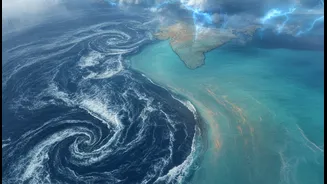
This chain reaction travels along an 'atmospheric bridge' known as the Walker Circulation. Normally, warm, moist air rises over the very warm waters of the western Pacific (near Indonesia), travels eastward at high altitudes, sinks as cool, dry air over the cooler eastern Pacific, and then flows west again near the surface as trade winds. This creates a stable loop. However, when an El Niño occurs, the warmest water shifts eastward. This disrupts the Walker Circulation, weakening or even reversing it. This disruption changes pressure and wind patterns far beyond the Pacific, extending all the way to the Indian Ocean.
El Niño’s Link to a Weaker Monsoon
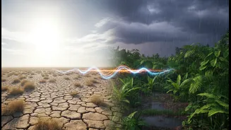
For India, an El Niño event is often bad news for the monsoon, which provides about 70% of the country's annual rainfall. The disruption of the Walker Circulation typically leads to higher atmospheric pressure over India, suppressing the formation of rain clouds. This can weaken the monsoon winds that carry moisture from the ocean to the subcontinent, resulting in reduced rainfall. Historically, many of India's most severe droughts have coincided with strong El Niño years. This has direct consequences for agriculture, water reservoirs, and the economy.
La Niña: The Opposite Effect
On the other hand, La Niña often has the opposite effect. During a La Niña, the Walker Circulation strengthens, amplifying the normal weather patterns. This tends to favour a stronger-than-normal monsoon for India, bringing more rainfall. While this can be beneficial for agriculture and refilling water supplies, very strong La Niña events can sometimes lead to excessive rains and flooding in parts of the country. Nearly all La Niña years have seen average or above-average monsoon rainfall in India.
More Than a Simple Switch
However, the link isn't always straightforward. Not every El Niño causes a drought in India. Other climate phenomena can play a modifying role. A key one is the Indian Ocean Dipole (IOD), our own ocean's version of El Niño/La Niña. A 'positive' IOD, with warmer waters in the western Indian Ocean, can sometimes counteract the negative effects of an El Niño and boost monsoon rains. Conversely, other factors like the long-term Pacific Decadal Oscillation (PDO) can intensify or diminish El Niño's impact over decades. Researchers are constantly working to understand these complex interactions.
The Current Scenario
As of mid-2026, meteorological agencies have noted the development of El Niño conditions in the Pacific, which are expected to strengthen. This has raised concerns about a potentially weaker monsoon, which could strain India's energy grid by reducing hydropower generation and simultaneously increasing demand for cooling. Forecasts suggest a likelihood of below-normal rainfall across the Indian subcontinent. However, scientists are also closely monitoring the IOD, which could potentially offset some of El Niño's drying influence if it turns positive. This makes continued monitoring essential for planning and preparedness across sectors, from agriculture to energy management.