


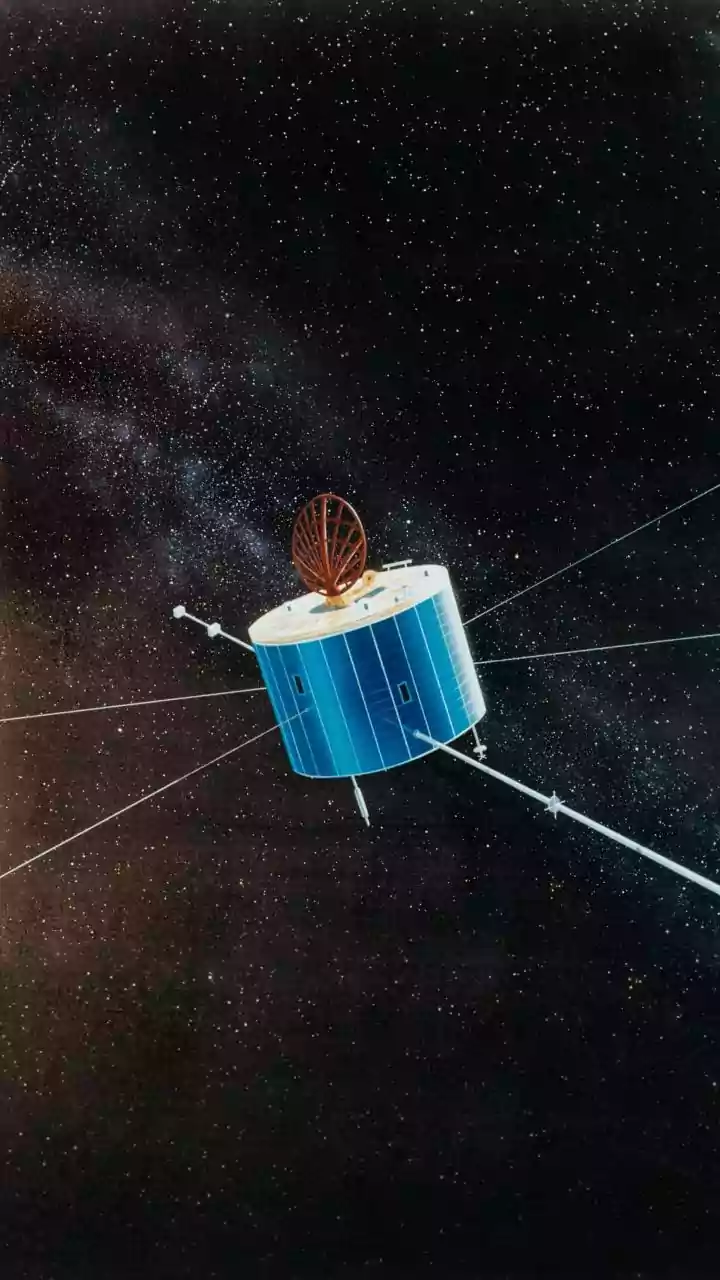



A New 'Eye in the Sky'
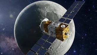
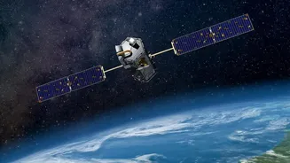
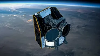
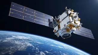
On September 4, 2026, the Indian Space Research Organisation (ISRO) successfully launched the EOS-05, an advanced Earth observation satellite. Dubbed the 'eye in the sky' by scientists, this isn't just another satellite; it's India's first imaging satellite placed
in a geosynchronous orbit, approximately 36,000 kilometres above the Earth. Unlike satellites in low-Earth orbit that pass over a location periodically, EOS-05 will match the Earth's rotation. This unique position allows it to continuously monitor the entire Indian subcontinent and its adjoining regions, providing a constant stream of data. The successful launch aboard the GSLV-F17 rocket from Sriharikota marks a significant milestone, giving India a powerful new tool for national development and security.
What Makes EOS-05 a Game-Changer?
The key advantage of EOS-05 lies in its ability to provide near real-time imagery. For disaster management, speed is critical. Traditional satellite data can take hours or even days to become available, by which time the opportunity for effective early action may have passed. EOS-05 is designed to dramatically shorten this timeline. By hovering over a fixed region, it can offer frequent updates, which is invaluable during rapidly evolving events like a cyclone making landfall or a river breaching its banks. Furthermore, the satellite is equipped with advanced imagers that can capture data across multiple bands, including visible and infrared. This allows it to 'see' through various atmospheric conditions and gather a wide range of information, from surface temperature to vegetation health, crucial for different types of disaster assessments.
From Data to Action: Floods and Cyclones
Imagine a cyclone forming in the Bay of Bengal. With EOS-05, authorities like the National Disaster Management Authority (NDMA) can receive continuous updates on its path and intensity, enabling more accurate warnings and timely evacuations. During a major flood event, like those that frequently affect states like Assam and Bihar, the satellite can map the extent of inundated areas in near real-time, even through cloud cover, a feature common in radar imaging satellites. This data is vital for rescue teams to identify the worst-hit villages, locate stranded populations, and plan the delivery of relief supplies like food and medicine. After the disaster, the same satellite can be used to conduct a comprehensive damage assessment of crops, homes, and infrastructure like roads and bridges, which helps in planning long-term recovery and reconstruction efforts.
Beyond Storms and Floods
The applications of EOS-05 extend far beyond monsoonal calamities. For a country with vast and difficult-to-access regions, from the Himalayas to dense forests, this satellite offers unparalleled monitoring capabilities. It can help in the early detection of forest fires, allowing for a quicker response before they spread out of control. In the event of an earthquake, its high-resolution imagery can rapidly assess damage in remote or mountainous areas, guiding search and rescue operations. The data can also be used for proactive measures, such as monitoring soil moisture to provide early warnings for droughts or analysing terrain to identify areas vulnerable to landslides. This shift from a reactive to a proactive approach is at the heart of modern disaster management.
The Road Ahead and Integration
The launch of EOS-05 is a monumental achievement, but the work doesn't stop here. The next crucial step is ensuring the seamless integration of this powerful data into on-the-ground decision-making processes. This involves getting the processed, actionable information from ISRO's data centres to state and district-level disaster response agencies quickly and efficiently. Building capacity among local officials to interpret and use this satellite-derived intelligence is also essential for maximising its life-saving potential. While challenges in data processing and last-mile dissemination exist, the successful deployment of EOS-05 provides the foundation. It complements India's existing fleet of satellites, like the RISAT and Cartosat series, creating a more robust and comprehensive Earth observation system dedicated to safeguarding the nation.