




India's Celestial Sentinels
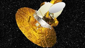
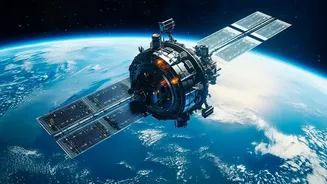
At the heart of India's predictive capabilities is a sophisticated network of satellites built and operated by the Indian Space Research Organisation (ISRO). The Indian National Satellite (INSAT) system, first commissioned in 1983, is a multipurpose constellation
that handles telecommunications, broadcasting, and crucially, meteorology. Satellites like INSAT-3D and INSAT-3DR are equipped with advanced imagers and sounders that provide high-resolution images and atmospheric data. They are the primary tools used by the India Meteorological Department (IMD) for weather forecasting. Complementing them are Earth observation satellites like the Radar Imaging Satellite (RISAT) series, which can see through clouds and darkness, making them invaluable during monsoons and for disaster assessment. Together, these systems form a powerful, multi-layered shield that monitors the subcontinent day and night.
Forecasting Devastating Floods
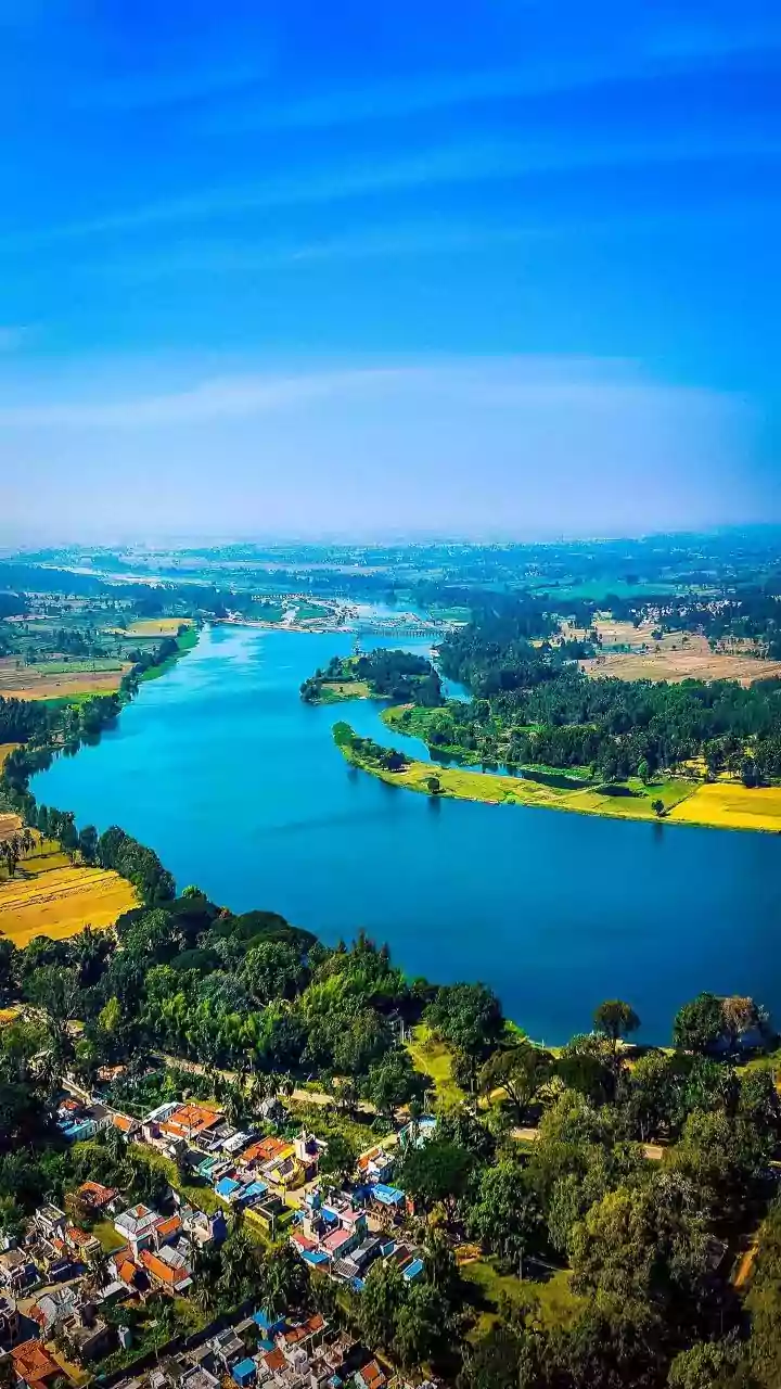
With over 12% of its landmass prone to flooding, early warnings are a matter of life and death in India. Satellites provide a critical advantage by monitoring several key factors simultaneously. They track rainfall intensity, cloud movement, and river water levels across vast basins. Radar satellites like RISAT are particularly effective as their signals can penetrate cloud cover to map inundated areas in near-real-time. This data is processed by agencies like the National Remote Sensing Centre (NRSC) to create flood inundation maps. These maps help authorities identify which areas are currently flooded and which are at imminent risk, allowing them to plan targeted evacuations and deploy resources efficiently. By combining satellite data with ground-based measurements, models can now predict the probability of flooding in specific regions, offering a crucial head start for disaster management teams.
Revolutionising Indian Agriculture
Beyond disasters, satellites are transforming one of India's oldest sectors: agriculture. Since the 1980s, ISRO has developed programmes to use space technology for crop management. Satellites help create detailed maps of cropland, monitor crop health using vegetation indices, and assess soil moisture levels. This wealth of information is channelled through programmes like Forecasting Agricultural Output using Space, Agro-meteorology and Land based Observations (FASAL) to provide accurate, in-season crop production forecasts. For farmers, this translates into practical advice on when to plant, how much to irrigate, and where to apply fertilisers. Satellite data also helps in assessing the impact of droughts and floods on farmland, enabling faster processing of crop insurance claims and helping farmers recover more quickly from losses.
Tracking Powerful Cyclones
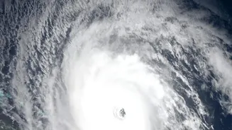
For India's long coastline, the cyclone season poses a constant threat. The IMD's ability to issue accurate cyclone warnings has dramatically reduced the loss of life in recent decades, and satellites are a key reason for this success. Geostationary satellites like the INSAT series provide continuous updates, sending images as frequently as every 15 minutes. This allows meteorologists to monitor the formation of a storm, track its path with precision, and predict its intensity. Satellites like Oceansat and SCATSAT-1 carry specialised instruments called scatterometers that measure wind speed and direction over the ocean surface, which are vital inputs for forecasting models. The IMD uses this stream of data to issue a four-stage warning system, from a 'Pre-Cyclone Watch' 72 hours in advance to a 'Cyclone Warning' 24 hours before landfall, giving authorities ample time to evacuate millions if needed.