




The Promise of Precision Forecasting
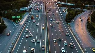
The IMD has been steadily enhancing its forecasting arsenal, moving beyond city-wide predictions to offer specialised services for specific needs. Among the most promising are its highway and route forecasts, designed to give travellers and logistics
operators a clear picture of weather conditions along major transport corridors like national highways. Using a combination of satellite imagery, radar data, and advanced numerical models, these tools predict temperature, rainfall, and severe weather events along a chosen path. The goal is to allow for smarter planning, helping drivers avoid dangerous conditions and enabling supply chain managers to route goods more efficiently. In theory, this technology should make travel safer and more predictable, a crucial service in a country with weather as dynamic and challenging as India's.
When the Forecast Hits a Waterlogged Road
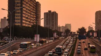
The problem isn't that the large-scale forecasts are wrong. In fact, the IMD's recent red alert for Delhi, for instance, correctly predicted heavy showers. The challenge lies in the 'last mile'—the final, crucial stretch of any journey. While a highway forecast might show a clear run on a major artery, it cannot predict that the exit ramp is submerged or that a local underpass is completely waterlogged. Recent events in Delhi and Gurugram serve as a perfect example, where heavy rains led to severe traffic disruptions on key arterial roads and interchanges, including NH-48 and areas like ITO and Kalindi Kunj. Commutes that normally take 40 minutes stretched to over an hour as vehicles crawled through inundated streets. This is the last-mile gap in action: the main highway might be moving, but the feeder roads and local streets that connect to it are at a standstill, a reality that broad forecasts struggle to capture.
The Unpredictability of Urban Infrastructure
Last-mile disruptions are fundamentally a problem of urban infrastructure failing to cope. In cities like Mumbai, Delhi, and Bengaluru, chronic flooding has become an annual monsoon event. Ageing drainage systems, unplanned urbanisation, and the loss of natural water sponges like lakes and wetlands mean that even moderate rainfall can cause chaos. A forecast can predict two inches of rain, but it can't predict how an already-strained drainage system in a specific locality will respond. The result is a patchwork of unpredictable hazards: one neighbourhood remains perfectly navigable while another, just a kilometre away, has knee-deep water, fallen trees, and power outages. This hyperlocal variability is what makes the last mile so treacherous and why relying solely on a regional forecast can give a dangerously incomplete picture of the journey ahead.
Bridging the Gap with Local Intelligence
If macro forecasts have limitations, the solution lies in integrating them with real-time, ground-level information. The 'last-mile problem' is a recurring theme across Indian cities, where the gap between a major transport hub and the final destination is often a chaotic scramble. This is where human intelligence and local data become invaluable. Updates from traffic police, municipal authorities, and even citizen reports on social media can provide the granular detail that satellite imagery misses. An effective strategy doesn't discard the IMD's powerful tools; it supplements them. For logistics companies, this might mean using route forecasts for long-haul planning but relying on local driver knowledge and real-time traffic alerts for final delivery. For the daily commuter, it means checking the weather forecast before leaving, but also scanning local traffic updates to see which specific roads are actually passable.