





A View from Space, An Ear to the Ground
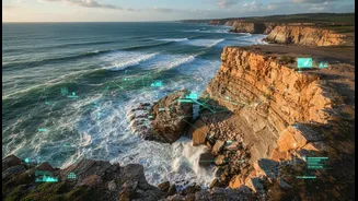
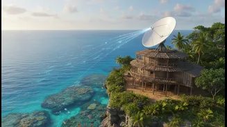
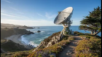
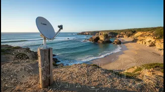
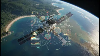
For decades, NASA has provided a crucial perspective on our planet. Its satellites are our eyes in the sky, tracking changes with incredible precision. They can measure sea-level rise down to the millimetre, monitor coastal erosion, and observe the growing
intensity of storms. This data is essential, providing a large-scale, quantitative look at how our world is shifting. However, this data-rich view from above sometimes misses the nuances that are only visible from the ground—details embedded not in pixels, but in stories, cultural memory, and generations of observation.
The Power of Traditional Ecological Knowledge
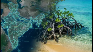
This is where Traditional Ecological Knowledge (TEK) comes in. TEK is the accumulated wisdom of Indigenous and local communities, developed over centuries of direct interaction with their environments. It’s a holistic understanding that intertwines the biological, cultural, and spiritual. For coastal communities in India, like the Koli of Maharashtra or fishing communities in Tamil Nadu, this knowledge includes understanding seasonal fish migrations, the protective power of mangroves, and reading the weather through subtle natural cues. This wisdom is not a relic of the past; it’s a living, adaptive science that has enabled communities to thrive in dynamic environments for generations.
A New, Integrated Approach
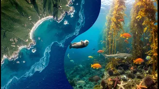
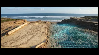
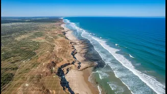
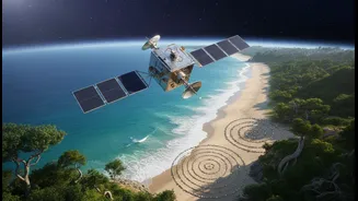
Recently, NASA-supported projects have begun to formally blend these two powerful knowledge systems. In one recent initiative, students at the Passamaquoddy reservation in Maine, USA, are using NASA satellite data alongside the oral histories and observations of their elders to study coastal erosion. They compare modern satellite imagery with 300-year-old tribal maps and historical accounts to get a more complete picture of how their shoreline is changing. The goal is to create more accurate predictive models that honour both the physical data and the cultural history of the land, serving as a model for inclusive research worldwide.
Your Coastal Science Toolkit
The "reader-service" benefit of this work is about making science actionable for everyone. By integrating TEK, complex satellite data becomes more relevant and useful at the community level. For the public, this yields several practical tools and insights. NASA's Sea Level Change Portal provides interactive tools and flooding projections that allow citizens to visualize climate impacts on their own coastlines. When this data is combined with local knowledge—like an elder's memory of where past floods reached or traditional understanding of natural drainage patterns—communities can develop more effective, locally-tuned adaptation strategies. This could mean knowing where to strengthen infrastructure, which traditional, salt-tolerant crops to plant, or how to restore natural barriers like mangroves that are known to be effective.
A Model for India’s Coastline
This collaborative model holds immense potential for India. With a vast coastline of over 7,500 kilometres, India faces urgent threats from rising sea levels and intensifying cyclones. Recent reports warn that areas from Kerala to Gujarat are set for significant climatic shifts by 2040, making adaptation a pressing reality. India also possesses a deep well of traditional ecological knowledge within its coastal communities. By empowering these communities and integrating their generational wisdom with modern geospatial technology, India can develop more resilient and equitable strategies for coastal management. It’s about creating a future where ancient knowledge and modern science work together to protect our shared shores.