


A Landmark Collaboration in Orbit
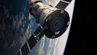
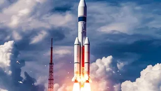
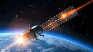
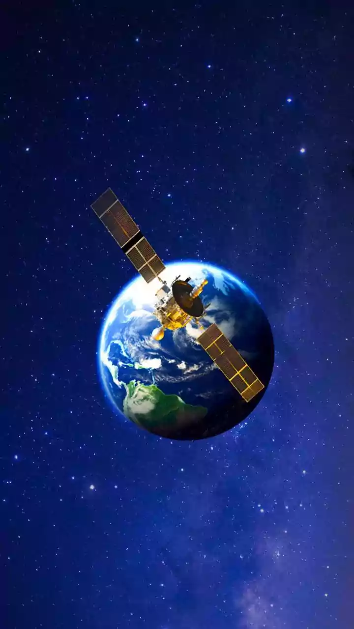
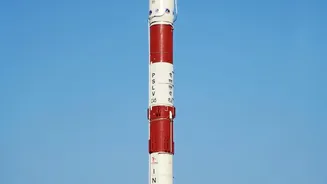
The NASA-ISRO Synthetic Aperture Radar (NISAR) mission is a testament to international scientific collaboration. Launched from India, this advanced satellite is equipped with two powerful radar systems: the L-band from NASA and the S-band from ISRO. Unlike
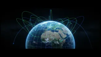
traditional optical satellites that are hindered by clouds or darkness, NISAR uses radar to provide an uninterrupted, all-weather view of Earth's surface. This capability is especially crucial for monitoring the vast, stormy, and often dark polar regions. By scanning nearly the entire globe every 12 days, NISAR provides a consistent and high-frequency stream of data, creating a time-lapse of our planet’s most subtle changes with unprecedented detail.
Seeing Through Ice with Radar Vision
What makes NISAR a game-changer for ice research is its unique radar technology. The satellite’s dual L-band and S-band frequencies work together to create a comprehensive picture. The longer L-band wavelength can penetrate snow cover to reveal the structure and movement of the ice beneath, while the S-band is sensitive to details like surface snow moisture, an indicator of melting. This allows scientists to measure changes in the ice with incredible precision, detecting movements of less than a centimetre. Recently released images of Antarctica have already demonstrated this power, revealing the complex fracture patterns in ice sheets as they flow around hidden bedrock, details invisible to the naked eye. This is like having X-ray vision for the planet's most enormous and critical ice formations.
Decoding the Ice Sheet’s Secrets
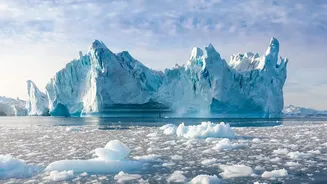
Antarctica's ice sheets are a primary focus for the NISAR mission. These vast reservoirs of frozen freshwater hold the potential to dramatically raise global sea levels. NISAR's data is crucial for understanding the dynamics of this ice. Scientists can now track the speed of glaciers, identify where warming ocean water is melting the ice from below, and pinpoint the exact location of the 'grounding line'—the critical boundary where ice detaches from the bedrock and begins to float. By continuously monitoring these changes, the mission helps to fill in the biggest uncertainties in climate models. The data provides a detailed report card on the health of the ice sheets, allowing us to understand how quickly they are responding to a warming climate.
From Antarctica to India's Coastlines
While Antarctica may seem remote, its fate is directly linked to India. The melting of polar ice is the single largest contributor to global sea-level rise. For a nation with a coastline stretching over 7,500 kilometres and home to major coastal cities like Mumbai, Chennai, and Kolkata, this is not an abstract threat. Scientists have warned that while ice melts in the polar regions, the actual sea-level rise is often greater in tropical regions like ours. If the entire Antarctic ice sheet were to melt, it could lead to a sea-level rise of about 60 meters, which would submerge vast coastal areas. The precise data from NISAR helps to refine these projections, giving policymakers in India the crucial information needed to plan for the future and protect vulnerable communities.
Powering Smarter Climate Models
Ultimately, the images and data from NISAR are about improving our ability to predict the future. Climate models are complex simulations that rely on data, and the more precise the data, the more accurate the predictions. By providing a continuous, high-resolution view of how ice sheets, glaciers, and sea ice are behaving, NISAR is providing the ground truth that modelers need. This will lead to more reliable forecasts of sea-level rise and a better understanding of the tipping points in our climate system. This isn't just an academic exercise; it's essential information that will help governments and communities worldwide prepare for the impacts of climate change, from building coastal defenses to managing water resources. The mission's data, which is freely and openly available, will empower a generation of scientists to tackle these pressing challenges.