




Our Eyes and Ears in the Deep
For centuries, the deep ocean was a mystery. Today, it is a hub of data collection. Ocean observation is a vast, coordinated system of technologies used to monitor the physical, chemical, and biological state of our seas. This isn't just about ships taking
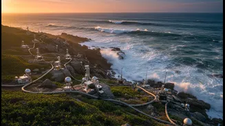
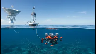
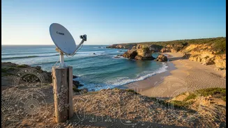
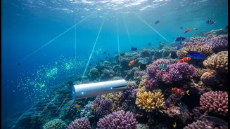
samples; it's a high-tech network that includes satellites tracking sea surface temperature from space, a global fleet of thousands of autonomous Argo floats diving deep to measure temperature and salinity, and underwater 'gliders' navigating the ocean for months on their own. Together, these tools function as a planetary-scale health check-up for our oceans, providing a continuous stream of data on everything from currents and wave heights to ocean acidity and heat content.
From Raw Data to Actionable Intelligence
This flood of data is useless without interpretation. This is where organisations like the Indian National Centre for Ocean Information Services (INCOIS) play a crucial role. They transform billions of individual data points into actionable intelligence. By feeding ocean observations into powerful computer models, scientists can forecast ocean conditions with increasing accuracy. This process turns measurements into predictions, giving coastal communities, industries, and governments the foresight needed to make informed decisions. It's the difference between simply knowing the ocean is warming and knowing when and where the next marine heatwave is likely to strike, or how a cyclone might intensify over a specific patch of warm water.
Bracing for Impact: Extreme Weather Alerts
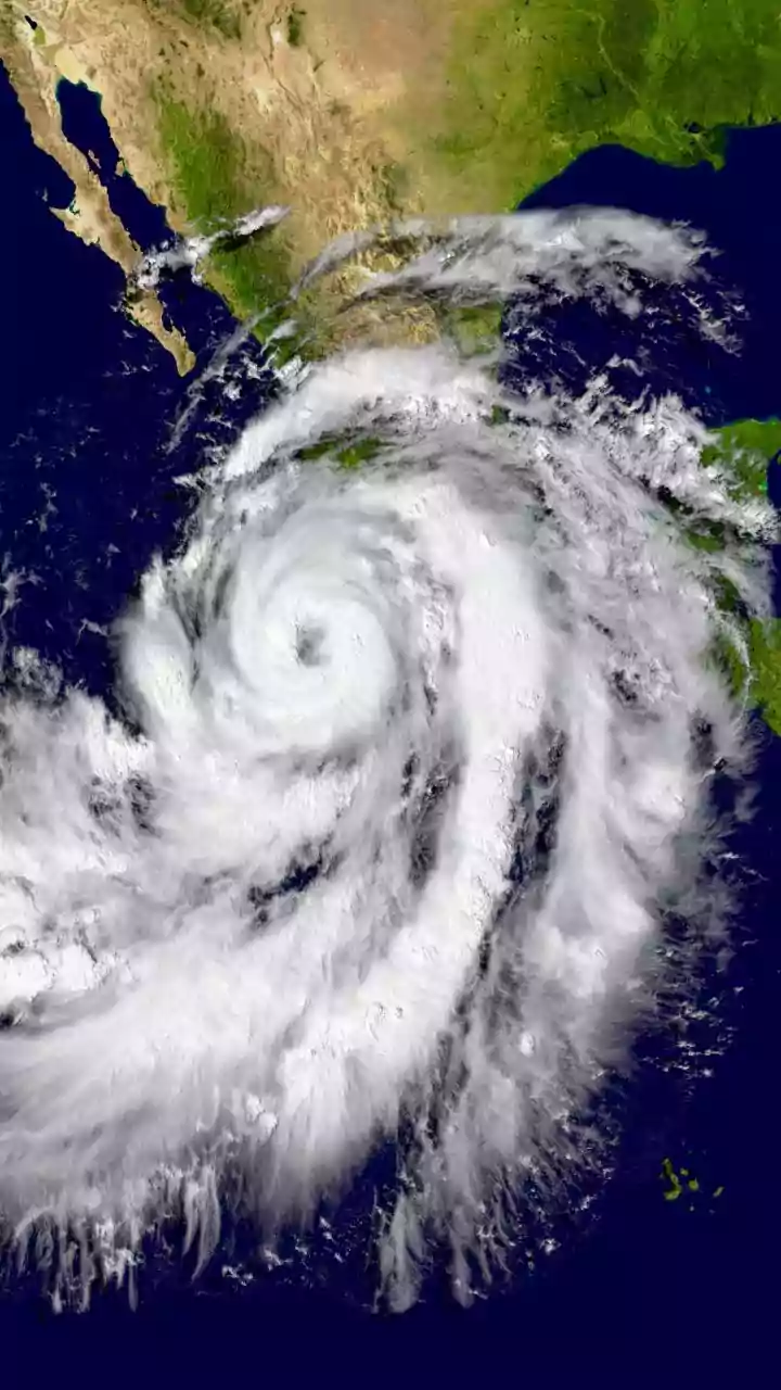
For India, with its 7,500-kilometre coastline, one of the most critical applications of ocean observation is in disaster management. The Indian Ocean is warming faster than the global average, leading to challenges like the rapid intensification of cyclones. Data from the Indian Ocean Observing System (IndOOS)—a network of buoys and other instruments—is fed into weather models to improve the tracking and forecasting of these devastating storms. Accurate forecasts of a cyclone's path and intensity, and the resulting storm surge, give authorities crucial lead time to issue warnings and evacuate populations, saving countless lives.
Protecting Coastal Livelihoods and Communities
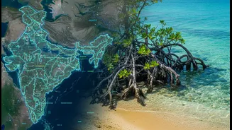
Beyond dramatic storms, ocean observation helps address the slower, creeping impacts of climate change. Sea-level rise is a major threat to India's coastal population of over 560 million people. Observation systems provide the precise data needed to monitor the rate of rise, identify vulnerable areas, and plan adaptation strategies like protecting and restoring mangrove forests, which act as natural sea walls. The data also supports India's vast fishing community. INCOIS uses satellite data to generate Potential Fishing Zone (PFZ) advisories, which guide fishermen to areas with a higher probability of fish aggregation. This service helps them save fuel, reduce time at sea, and improve the sustainability of their catch, making their livelihoods more resilient in the face of changing ocean conditions.
The Future: A Digital Twin of the Ocean
The field is rapidly advancing. The next frontier is the creation of a 'digital twin' of the ocean—a highly detailed, virtual replica that is updated in real-time with observational data. India's 'Mission Mausam' initiative is working towards this goal. Such a tool would allow scientists and policymakers to run simulations, testing the potential impact of different climate scenarios or the effectiveness of proposed adaptation measures before they are implemented in the real world. It represents a shift from reacting to climate impacts to proactively managing them with the help of a dynamic, data-driven understanding of our planet's largest and most critical ecosystem.