

The Shared River Network
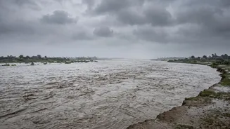
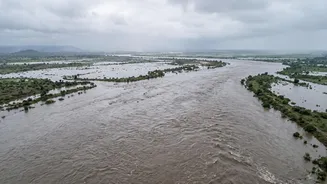
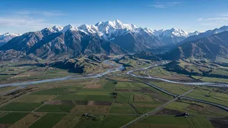
India and Nepal are intrinsically linked by a vast network of rivers that originate in the high Himalayas and flow south into India's densely populated Gangetic plains. Several of Nepal's largest river systems are tributaries to the Ganga. The most significant
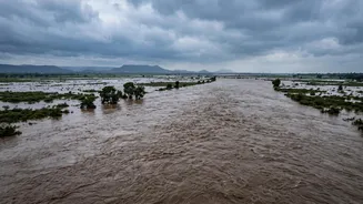
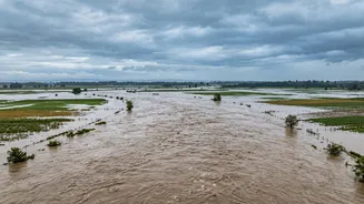
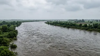
among these are the Kosi, Gandak (known as Narayani in Nepal), and Karnali (Ghaghara in India) river systems. These rivers serve as massive drainage channels for the Himalayas. When a major flood event occurs in their upper catchments in Nepal or Tibet, the surge of water naturally follows this path, travelling downstream across the border into states like Bihar and Uttar Pradesh. This geographical reality means that major hydrological events in Nepal are rarely just a domestic issue; they are a transboundary concern with direct implications for millions in India.
What Triggers These Floods?
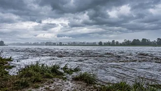
Flash floods in Nepal's mountainous terrain are often triggered by a combination of factors, especially during the June to September monsoon season. Intense rainfall on steep, unstable slopes is a primary cause. However, the Himalayan region faces more complex threats. One major cause is a Glacial Lake Outburst Flood (GLOF), where a lake formed by a melting glacier suddenly bursts through its fragile natural dam of ice and rock. Another trigger, as seen in the devastating flash flood of August 2026, can be a massive ice-rock avalanche that blocks a river. The blockage creates a temporary dam, behind which a huge volume of water accumulates. When this dam fails, it releases a catastrophic wall of water, mud, and boulders downstream with incredible speed and force. Climate change is believed to be increasing the frequency of these events by accelerating glacier melt and making weather patterns more erratic.
The Threat to India
The threat to India is very real. Following the recent flash floods in Nepal's Bhote Koshi-Trishuli river basin, authorities in both Bihar and Uttar Pradesh were put on high alert. The concern was that the flood surge would travel down the Gandak river, which flows through UP's Maharajganj and Kushinagar districts before entering Bihar. Bihar is particularly vulnerable, with officials closely monitoring both the Gandak and Kosi rivers. The Kosi has historically been known as the 'Sorrow of Bihar' for its frequent and devastating floods, which are exacerbated by the massive amounts of silt the river carries from the Himalayas, raising the riverbed over time. While authorities in August 2026 noted that the flood's intensity would likely reduce as it travels, the risk prompted immediate precautionary measures and the deployment of National Disaster Response Force (NDRF) teams in border areas.
How Warnings Are Shared
The perennial risk has led to cross-border cooperation on flood forecasting. India and Nepal have mechanisms to share hydrological data, including real-time information on river flow and rainfall. Community-based early warning systems have also been implemented, where alerts are sent via SMS to people in vulnerable areas, allowing for timely evacuation. However, the system is not perfect. Experts note that gaps in cross-border information sharing, particularly with China where many of these rivers originate, can hinder timely warnings. Following the August 2026 disaster, which originated near the Nepal-China border, Nepali officials highlighted the need for more robust data sharing to establish the exact cause and provide faster alerts for downstream communities in both Nepal and, by extension, India.