





The Engine of Global Weather
The Pacific Climate Cycle is scientifically known as the El Niño-Southern Oscillation, or ENSO. It's a recurring, natural climate pattern that involves a complex dance between the ocean and the atmosphere across the tropical Pacific. This isn't a strict
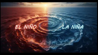
cycle with a fixed timetable; it fluctuates every two to seven years. The cycle has three distinct states: a warm phase called El Niño, a cool phase called La Niña, and a middle-of-the-road Neutral phase. These shifts in ocean temperature and atmospheric pressure are so significant that they can alter global weather, influencing everything from rainfall in India to hurricane seasons in the Atlantic.
The 'Normal' State: Neutral Phase
Most of the time, the Pacific is in a 'Neutral' phase, which serves as the baseline for the entire cycle. During this phase, strong trade winds blow from east to west across the ocean's surface. These winds push the warm surface water towards Asia and Australia. As the warm water moves west, cool, nutrient-rich water from the deep ocean rises to the surface along the coast of South America in a process called upwelling. This creates a predictable pattern: warmer waters and lower air pressure in the western Pacific (near Indonesia) and cooler waters with higher air pressure in the eastern Pacific (near Peru). This state is associated with relatively normal weather patterns.
The Warm Phase: El Niño
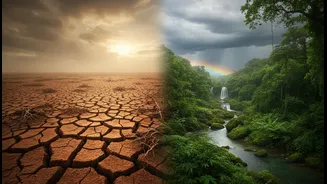
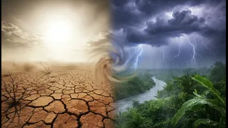
El Niño, which means "the boy" in Spanish, occurs when the normal pattern breaks down. The easterly trade winds weaken, or in strong cases, even reverse direction. Without the winds to push it, the large pool of warm surface water moves eastward, accumulating along the coast of South America. This shift flips the entire system. The eastern Pacific becomes warmer and wetter than usual, while the western Pacific, including parts of Southeast Asia, can experience drier conditions. This disruption of the ocean-atmosphere system has far-reaching consequences, causing droughts in some regions and intense storms in others.
The Cool Phase: La Niña
La Niña, or "the girl," is essentially an intensification of the normal Neutral phase. During a La Niña event, the easterly trade winds become even stronger than usual. This pushes more warm water toward the western Pacific, near Asia, and increases the upwelling of cold water off the coast of South America. Sea surface temperatures in the central and eastern Pacific become cooler than average. This results in increased rainfall over Indonesia and Australia and can lead to different, but equally significant, disruptions to global weather patterns compared to El Niño.
Why it Matters for India
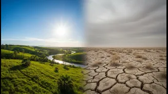
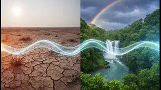
The ENSO cycle has a profound and direct impact on the Indian subcontinent, primarily by influencing the all-important summer monsoon. Generally, El Niño years are associated with a weakening of the monsoon winds, which can lead to reduced rainfall and potential droughts across many parts of India. This is because the shift in atmospheric circulation disrupts the delicate pressure gradients that drive the moisture-laden monsoon winds from the Indian Ocean to the subcontinent. Conversely, La Niña is often beneficial for India, as the strengthening of the regional circulation patterns can lead to a stronger monsoon and more abundant rainfall. Historically, many of India's major drought years have coincided with El Niño events.
An Irregular Rhythm
While we know the general effects, predicting the exact timing and intensity of El Niño or La Niña remains a challenge for scientists. Each event is unique in its strength and specific impacts. Not every El Niño brings a drought to India, and other climate factors, like the Indian Ocean Dipole (IOD), can sometimes counteract or amplify ENSO's influence. However, understanding this massive climate pendulum in the Pacific is crucial. It gives us a valuable tool for long-range forecasting, helping governments, farmers, and communities prepare for the potential of a wetter or drier year ahead.