


A New Treasure Map for Lunar Water
For decades, scientists have known that water exists on the Moon, but understanding its exact form and location has been a persistent challenge. Early discoveries confirmed the presence of hydrogen, but couldn't definitively distinguish between water (H₂O)
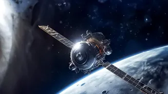
and its chemical cousin, hydroxyl (OH). That changed significantly with missions like NASA’s Stratospheric Observatory for Infrared Astronomy (SOFIA), a telescope on a modified Boeing 747 that flew above most of Earth's atmospheric interference. By analyzing infrared light at a specific wavelength unique to H₂O, SOFIA provided unambiguous proof of water molecules, even on sunlit portions of the Moon. More recently, analysis of data from SOFIA and other orbital instruments has allowed scientists to create the first wide-area, detailed maps of water distribution, particularly around the Moon's South Pole. These maps are less like vague sketches and more like geological surveys, revealing how water concentration varies with terrain and temperature. This isn't just an academic exercise; it's the creation of a treasure map for the most critical resource in space exploration.
From Blurry Patches to Precise Pockets
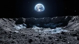
Previous knowledge of lunar water was largely confined to the idea of vast, icy deposits hidden in permanently shadowed regions (PSRs) at the poles — craters so deep the sun never reaches their floors. While these are believed to hold significant reserves, they are also incredibly cold and difficult to access. The latest infrared mapping provides a far more nuanced picture. Scientists can now see that water isn't just in these deep-freeze craters. Using data from instruments like SOFIA’s FORCAST camera, they have mapped concentrations in areas that receive sunlight, like the Clavius and Moretus craters. The amount is small — roughly equivalent to a 300-millilitre bottle of water spread over a football field-sized area — but its presence is revolutionary. This new level of precision moves us from knowing water is somewhere in a dark crater to identifying specific pockets, their relative abundance, and how they correlate with surface features. It allows mission planners to target smaller, more manageable deposits that might be more accessible than the daunting PSRs.
Why 'Accessible' Changes Everything
The key word in all of this new research is 'accessible'. Water buried deep within a perpetually dark, -200°C crater is a resource, but an extremely challenging one to extract. Robotic missions would need to survive extreme cold and operate in total darkness. The discovery of water molecules trapped in the lunar soil (regolith) in sunlit areas presents a game-changing alternative. This water may be stored within tiny beads of glass created by micrometeorite impacts or be chemically bound to minerals, protected from the harsh environment. These deposits may be more widespread and located in areas where solar-powered rovers and equipment can operate more easily. Accessibility means future lunar missions, like those under the Artemis program, won't be restricted to the most treacherous polar craters. They can land in regions that are scientifically interesting and also happen to be near a viable water source, dramatically increasing the flexibility and safety of human exploration.
Fueling the Future of Space Exploration
The focus on lunar water isn't just about giving astronauts something to drink. It's about turning the Moon into a futuristic refueling station. This concept, known as In-Situ Resource Utilization (ISRU), is central to the business case for a sustainable human presence in space. Water (H₂O) can be split into its constituent parts: hydrogen and oxygen. Oxygen provides breathable air, while hydrogen and oxygen are the primary components of powerful rocket propellant. The ability to mine water on the Moon and convert it into rocket fuel would shatter the current economic model of spaceflight. Every kilogram of material launched from Earth is incredibly expensive. By producing fuel on the Moon, missions heading deeper into the solar system — to Mars and beyond — could launch from Earth with lighter loads and refuel at a lunar outpost. This drastically reduces mission costs and opens up a new commercial frontier for companies involved in resource extraction and space logistics.
The Artemis and Commercial Advantage
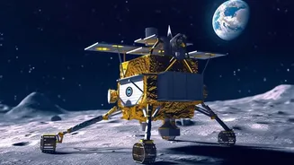
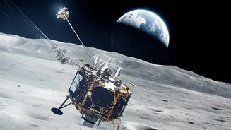
These precision water maps are directly informing NASA's Artemis program, which aims to land astronauts near the lunar South Pole and eventually establish a permanent base. Missions like the now-canceled VIPER rover were designed specifically to prospect these mapped areas on the ground to understand the physical state and accessibility of the ice. Future crewed missions under Artemis will rely on this data to select landing sites that offer the best combination of scientific value and resource availability. Furthermore, this creates a clear opportunity for private industry. Commercial companies are developing lunar landers and rovers with an eye on the emerging cislunar economy. Detailed resource maps from infrared scans and other methods, like proposed seismic surveys, reduce the risk and investment needed for these private ventures to begin prospecting for and eventually commercializing lunar water, paving the way for a true space-based economy.