






The Anatomy of a Bengaluru Flood
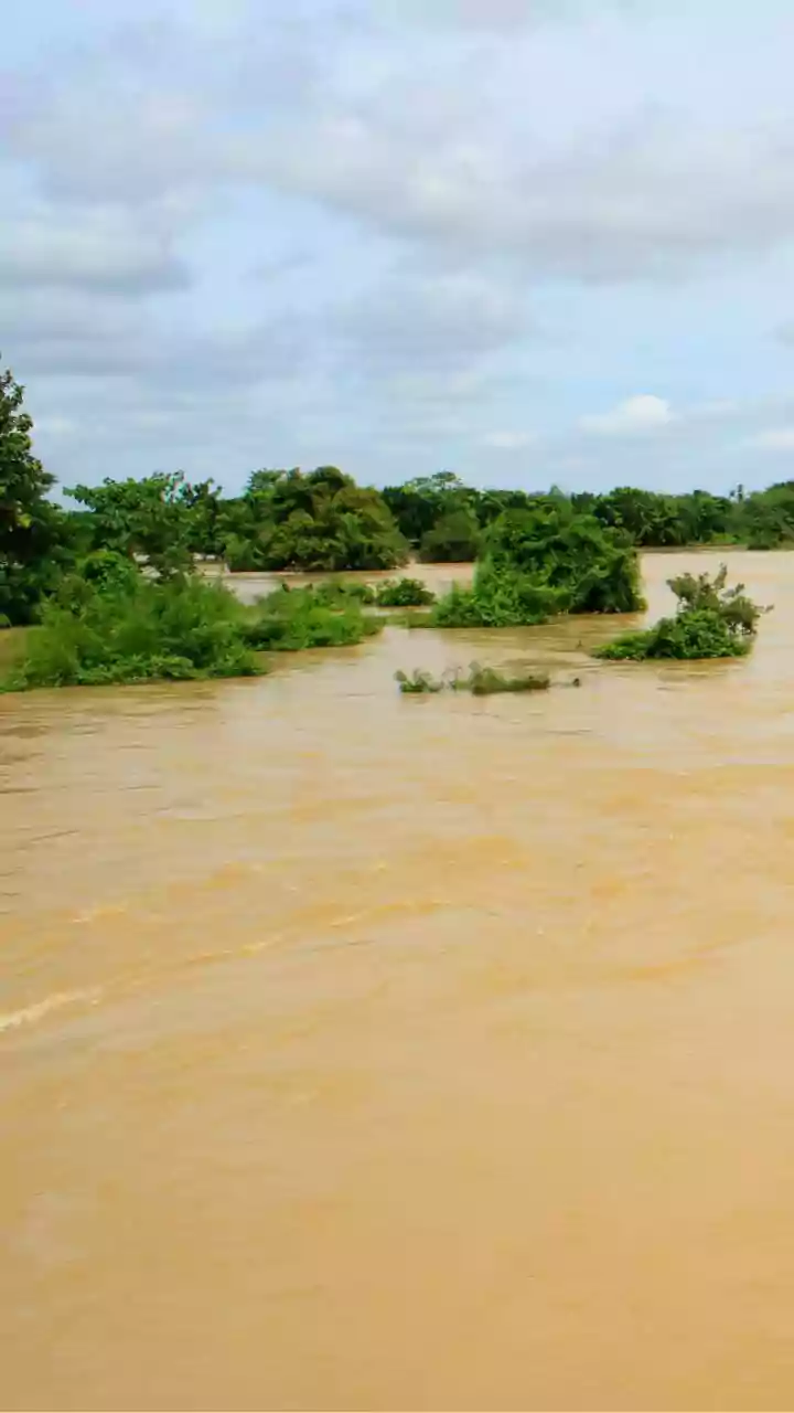
Bengaluru’s flooding problem is not merely an act of nature; it is a crisis born from decades of rapid urban development. The city is built on an undulating terrain with a natural system of interconnected valleys and lakes designed to manage rainwater.
Historically, a network of primary and secondary drains, known as 'raja kaluves', channeled excess water from higher-elevation lakes to lower ones, creating a natural flood-mitigation system. However, a staggering 1,055% increase in built-up area over the last four decades has come at a cost, with the city losing 79% of its water bodies and 88% of its green cover. Many of these vital drainage channels and lake beds have been encroached upon or built over, constricting the natural flow of water and leaving many neighbourhoods, particularly in low-lying areas, acutely vulnerable to waterlogging and severe floods after even a short, intense spell of rain.
Your New Toolkit: Mapping the Drains
The most significant step towards empowering homebuyers is the public availability of crucial infrastructure maps. The Bruhat Bengaluru Mahanagara Palike (BBMP), the city's administrative body, provides detailed maps of the stormwater drain (SWD) network. These resources, often accessible through open data portals, chart the paths of primary, secondary, and tertiary raja kaluves across the city. For a potential buyer, this is the first layer of due diligence. By overlaying a prospective property’s location on these drain maps, you can determine its proximity to these major water channels. Being located far from a drain is not always a good thing, as it might indicate a lack of proper drainage infrastructure in the area. Conversely, being too close, especially to a drain that has been encroached upon or is poorly maintained, presents a significant risk of water backflow and flooding. These maps allow you to move beyond a developer's assurances and independently assess the fundamental drainage layout of the neighbourhood.
Gaining Altitude: The Importance of Elevation
Alongside drain networks, a property's elevation is a critical factor in its flood resilience. Water naturally flows to the lowest point, and many of Bengaluru's most flood-affected areas are situated in local depressions or valleys. Recognizing this, government bodies like the Karnataka State Natural Disaster Monitoring Centre (KSNDMC) have been working to develop high-resolution contour maps to more accurately identify these vulnerable zones. While a single, centralized public portal for comparing elevation is still a work in progress, homebuyers can perform their own preliminary analysis. Using tools like Google Earth, you can get a good sense of a property's topography. By examining the elevation data, you can see if the site sits significantly lower than the surrounding land or the main road. A property at the bottom of a slope is at a much higher risk of inundation from surface runoff than one situated on higher ground. This simple check is a crucial step in visualizing how water will behave around your potential home during a downpour.
Connecting the Dots: Flood Vulnerability Zones
Several official sources now consolidate this data to explicitly flag high-risk areas. The BBMP publishes lists and maps of locations it has identified as flood-prone or vulnerable, often based on historical flooding data and the state of the drain network. Furthermore, the KSNDMC, in collaboration with the Indian Institute of Science (IISc), has developed digital tools to provide real-time information. The 'Bengaluru Megha Sandesha' mobile app and the 'Varunamitra' web portal aim to deliver forecasts on rainfall and potential flooding, helping residents and authorities prepare. By consulting these resources, a homebuyer can check if their area of interest is on a vulnerability list. This is especially critical in zones with a history of flooding, such as Bellandur, Varthur, Mahadevapura, and parts of Sarjapur and Whitefield.
Beyond the Maps: Essential Groundwork
These digital tools are invaluable, but they should complement, not replace, traditional due diligence. Experts advise taking several additional steps before finalizing a purchase. First, try to consult historical village maps, some dating back to the early 20th century. These can reveal if a modern layout has been built over a former lake bed or natural water channel. Second, verify that the property adheres to the mandated buffer zones—the legally required no-construction distance from lakes and raja kaluves. Finally, nothing beats a physical inspection. Visit the site and the surrounding area multiple times, especially during or immediately after a heavy rain. Talk to people already living in the neighbourhood about their experiences with waterlogging. This on-the-ground intelligence provides a real-world context to the data you've gathered from the maps and portals.