

A New Eye on a Changing Planet
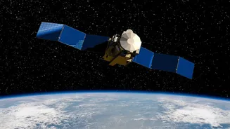
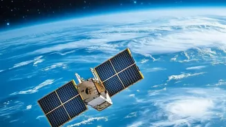
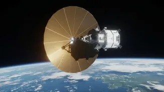
NISAR, which stands for NASA-ISRO Synthetic Aperture Radar, is a joint Earth-observing satellite from the U.S. and Indian space agencies that launched in July 2025. Unlike satellites that take optical pictures like a standard camera, NISAR uses a sophisticated
radar system. This technology, called Synthetic Aperture Radar (SAR), sends microwave pulses toward Earth and measures the returning signals to create images. The key advantage is that radar can “see” through clouds, smoke, and the darkness of night, providing a consistent and reliable view of the planet’s surface. The mission is designed to systematically map nearly all of Earth's land and ice every 12 days, tracking changes with remarkable precision.
Beyond a Pretty Picture
What makes NISAR's data so revolutionary is its dual-frequency capability and its commitment to open access. It is the first satellite mission to use two different radar frequencies—L-band and S-band—to measure changes in the Earth’s surface, some as small as a centimeter. The longer wavelength L-band, provided by NASA, can penetrate through forest canopies and dry soil to reveal what’s happening underneath, while the S-band, from ISRO, offers different insights into vegetation and surface features. Previously, access to this kind of high-resolution SAR data was either restricted, prohibitively expensive, or not collected with such frequency and global scope. NASA and ISRO’s commitment to a free and open data policy means that scientists, companies, and even individuals can now download and use this information. Provisional L-band data was made available in July 2026, with ISRO releasing S-band data through its own portal.
Breaking Down the Data Barriers
For decades, the business of Earth observation was dominated by a model where government agencies or private companies launched expensive satellites and recouped costs by selling data or access to it. This created a high barrier to entry for researchers in developing nations, smaller academic institutions, and startups. Only those with significant funding could afford the best data, limiting the scope and diversity of research. The open-data policies pioneered by missions like the European Space Agency's Sentinel series, and now championed by NISAR, are dismantling this old model. By making the data universally accessible, NISAR democratizes Earth observation, fostering a more inclusive and innovative global community.
From Discovery to Application
The availability of free, high-quality radar data is set to unleash a wave of innovation. Applications are vast and transformative. In agriculture, farmers can monitor soil moisture to optimize irrigation and track crop health. For disaster management, emergency responders can get rapid, clear assessments of earthquake or landslide damage, even through smoke or cloud cover, and map the extent of flooding. Scientists can track the melting of glaciers and ice sheets with unprecedented detail, providing crucial data for climate change models. Urban planners can monitor subsidence—the gradual sinking of land—in major cities, helping to protect critical infrastructure. This data firehose empowers researchers and businesses to build new services and make more informed decisions.
The Future is Open
NISAR’s open-data approach is more than just a generous gesture; it’s a strategic choice that magnifies the mission's impact. When data is open, it can be combined with other datasets, analyzed by a wider range of experts, and scrutinized by more people, which often leads to better science and unexpected discoveries. It also puts pressure on commercial data providers to offer more value, whether through more advanced analytics, user-friendly platforms, or specialized services. The success of NISAR will likely strengthen the case for making data from future publicly funded satellite missions open by default. It signals a shift from seeing data as a scarce commodity to be sold, to viewing it as a public good that can fuel a global ecosystem of science, safety, and economic growth.