




India's Eyes in the Sky
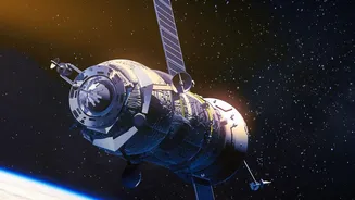
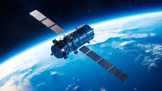
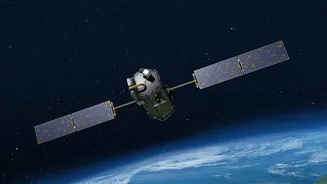
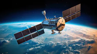
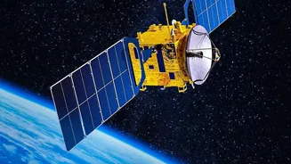
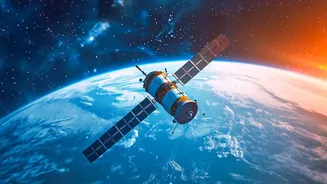
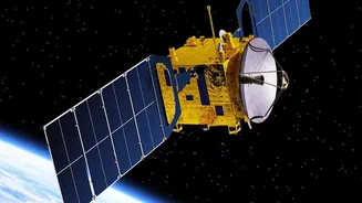
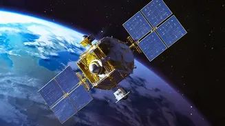
India, through the Indian Space Research Organisation (ISRO), operates one of the world's largest constellations of remote-sensing satellites. This technological backbone consists of several key satellite series, each with a specific job. The INSAT (Indian
National Satellite) series, for instance, is crucial for meteorology, communications, and broadcasting. These geostationary satellites continuously monitor the Indian subcontinent, providing the data necessary for weather forecasting, including tracking the development of cyclones and the progress of the monsoon. Then there are the Earth Observation satellites like the Indian Remote Sensing (IRS) series, which includes programs such as Resourcesat and RISAT (Radar Imaging Satellite). These satellites orbit the Earth, systematically capturing high-resolution images of the land and water below. While optical satellites like Resourcesat provide detailed images, radar-based satellites like RISAT have the powerful ability to see through clouds, making them invaluable for monitoring during the cloudy monsoon season.
Decoding the Weather
The India Meteorological Department (IMD) heavily relies on this stream of data to deliver its forecasts. INSAT satellites provide round-the-clock imagery in various spectrums, such as visible, infrared, and water vapour channels. Infrared imagery helps determine cloud-top temperatures, which can indicate the intensity of a storm, while water vapour channels track moisture in the atmosphere, a key ingredient for rainfall. This continuous flow of information allows meteorologists to track the formation and movement of weather systems with remarkable accuracy. It is this satellite data that enables the IMD to issue timely warnings for cyclones, heatwaves, and heavy rainfall events, saving lives and property. The precision offered by satellite monitoring has transformed disaster management, allowing authorities to prepare and respond more effectively.
A Digital Revolution for Farming
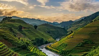
The impact on agriculture is just as profound, ushering in an era of precision farming. Satellite data provides a wealth of information that was previously impossible to gather at scale. By analyzing multispectral imagery, experts can create detailed maps showing crop health, soil moisture levels, and vegetation density. This allows for the early detection of stress in crops caused by lack of water, nutrient deficiency, or pest attacks, often weeks before it becomes visible to the naked eye. Government programs like Forecasting Agricultural output using Space, Agro-meteorology and Land-based observations (FASAL) use this data to provide pre-harvest production forecasts for major crops. This information is vital for farmers to make informed decisions about irrigation, fertilizer application, and pest control, helping optimize the use of resources and improve yields.
From Pixels to Policy and Insurance
Beyond individual farms, satellite intelligence is shaping national agricultural policy and financial services. The Pradhan Mantri Fasal Bima Yojana (PMFBY), India’s flagship crop insurance scheme, extensively uses satellite data. Technology-driven initiatives like YESTECH (Yield Estimation System based on Technology) use satellite imagery to estimate crop yields at the gram panchayat level, making claim settlements faster and more transparent. Satellite data helps in accurately assessing large-scale damage from floods or droughts, identifying areas where crops have failed, and verifying insurance claims with greater accuracy than traditional methods alone. This reduces disputes and ensures that aid reaches affected farmers more quickly. This data-driven approach is also helping banks and financial institutions assess credit risk for agricultural loans, leading to better financial inclusion for farmers.