




A Groundbreaking Eye in the Sky
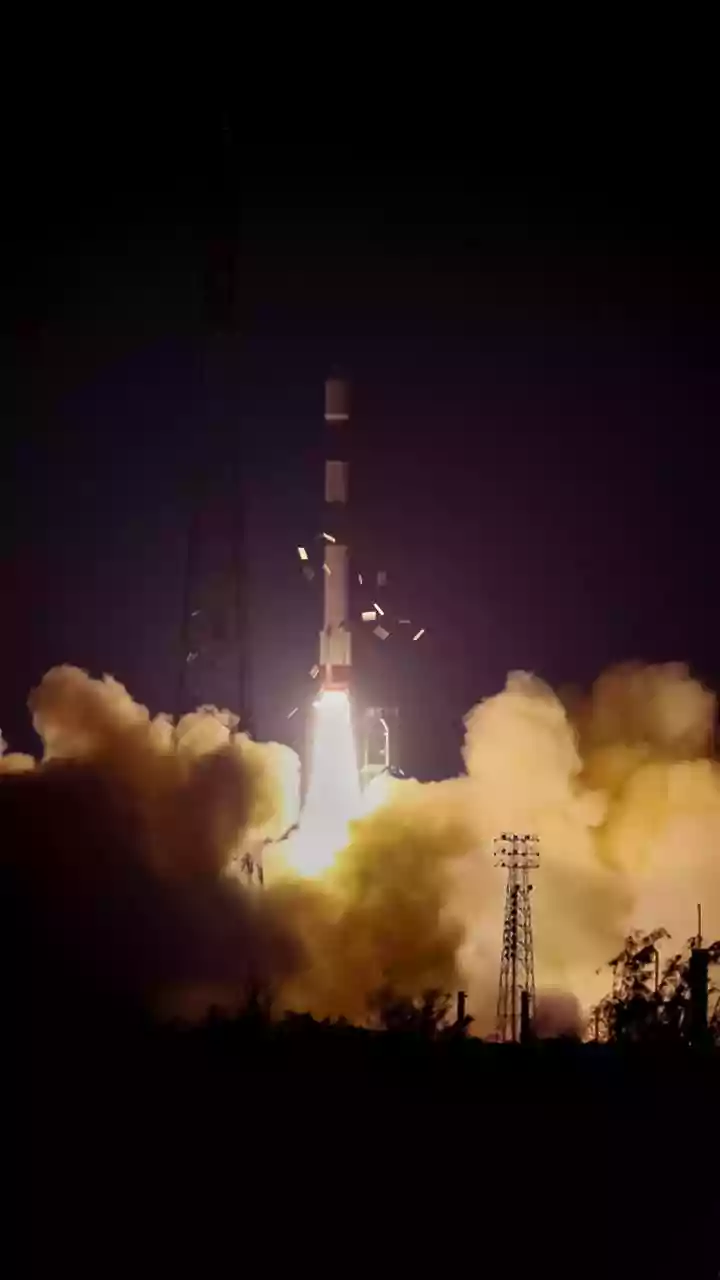
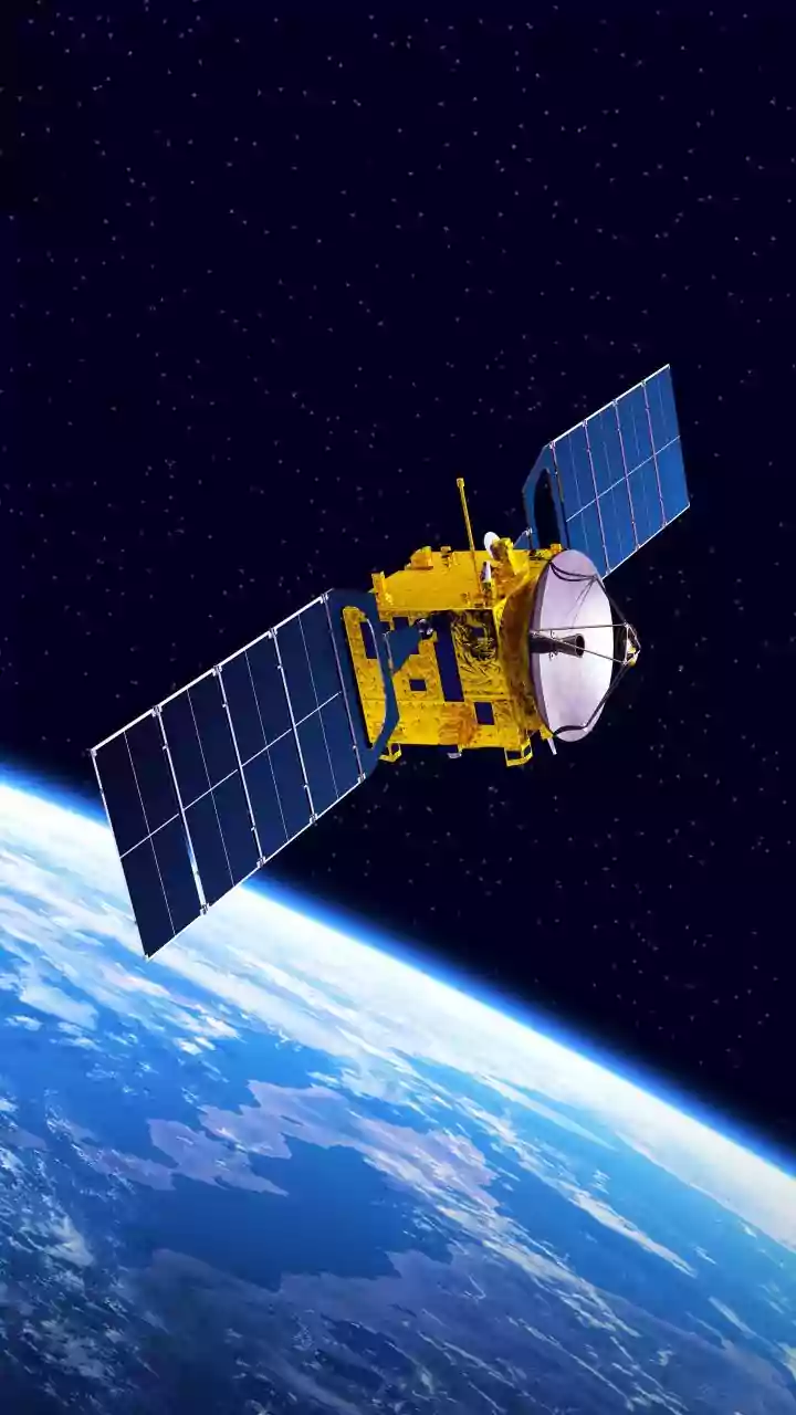
The NASA-ISRO Synthetic Aperture Radar (NISAR) is more than just another satellite; it's one of the most sophisticated Earth-observation missions ever launched. After lifting off from Indian soil in July 2025, this joint venture became fully operational
in early 2026, marking a new era in space collaboration and environmental science. The mission's primary goal is to conduct a comprehensive health check-up of our planet, scanning nearly all of Earth's land and ice surfaces twice every 12 days. This regular, high-frequency monitoring provides a time-lapse view of the Earth, capturing subtle changes with remarkable precision. For India, this means access to a wealth of data tailored to its unique geographical and environmental challenges, transforming how it approaches everything from agriculture to urban development. The mission, a partnership of equals, saw NASA providing the L-band radar system while ISRO contributed the satellite bus, the S-band radar, and the launch vehicle, making it a proud moment for India's space program.
How Radar Vision Changes Everything
What makes NISAR a game-changer is its advanced radar technology. Unlike optical satellites that are hindered by clouds or darkness, NISAR uses Synthetic Aperture Radar (SAR), which can see through these obstacles day and night, in all weather conditions. It is the first satellite to use two different radar frequencies—the L-band and S-band—to map the planet. The L-band, with its longer wavelength, can penetrate forest canopies to measure soil moisture and see changes on the ground. The S-band is more sensitive to smaller vegetation, making it ideal for monitoring crops. This dual-frequency capability allows NISAR to detect tiny movements of the Earth's surface, down to a centimeter. This precision is crucial for understanding slow-moving hazards like land subsidence in cities, the melting of Himalayan glaciers, and the strain building up along earthquake faults. All data from the mission is made freely and openly available, ensuring that scientists, disaster management agencies, and planners across India can harness its full potential.
From Data to Decisions in India
The true impact of the NISAR mission lies in its real-world applications for regional planning across India. In agriculture, the satellite's ability to measure soil moisture and monitor crop health provides invaluable insights for improving yields and managing water resources efficiently. Early data released in 2026 has already been used to create detailed soil moisture maps of central India and the Indo-Gangetic plains. For disaster management, NISAR is a powerful ally. It can track the full extent of flooding, even in densely vegetated areas like the Sundarbans, and detect landslides hidden beneath forest canopies in regions like the Western Ghats. This information allows for quicker, more effective response and better mitigation planning. Furthermore, the data helps monitor the stability of critical infrastructure like dams, tracks urban expansion, and provides early warnings about land subsidence in rapidly growing cities. By providing a consistent and reliable stream of information, NISAR empowers Indian authorities to make informed, data-driven decisions that can protect lives and support sustainable development.
A Partnership For The Planet
The NISAR mission represents a significant milestone in the strategic partnership between India and the United States. At a cost of around $1.5 billion, it is one of the most expensive Earth-imaging satellites ever built, a venture made possible through shared resources and expertise. This collaboration not only provides ISRO with access to cutting-edge technology but also solidifies India's position as a major player in the global space community. The mission is a powerful example of how international cooperation can address some of the planet's most pressing challenges, from climate change to natural hazards. The success of NISAR builds on a history of cooperation between the two space agencies and paves the way for even more ambitious joint projects in the future, including potential human spaceflight missions. It demonstrates a shared commitment to using space technology for the benefit of humanity, delivering tangible benefits that strengthen economic growth and enhance environmental stewardship on Earth.