





More Than Just A Weather Map
When you think of a weather report, you might picture a simple map with sun and cloud icons. What ISRO provides is on a completely different level. Through its MOSDAC (Meteorological and Oceanographic Satellite Data Archival Centre) web portal, the space
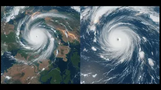
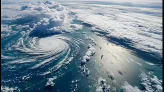
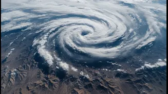
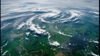
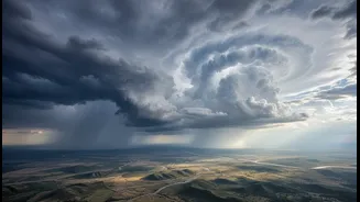
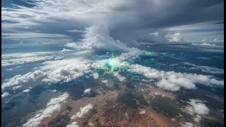
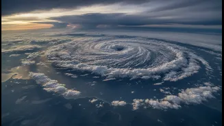
agency offers detailed, near real-time imagery that is both scientifically rich and increasingly accessible. Recent images, for instance, have shown massive, distinct monsoon systems churning simultaneously over the Arabian Sea and the Bay of Bengal. These are not just static pictures; they are dynamic views showing cloud density, moisture influx, and the intensity of weather systems, turning abstract data into a clear visual story of the monsoon's power.
The Eyes in the Sky
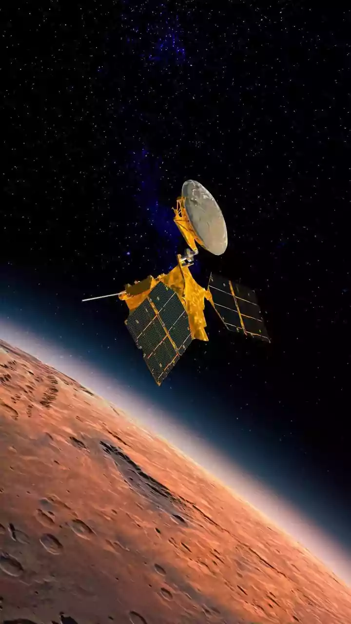
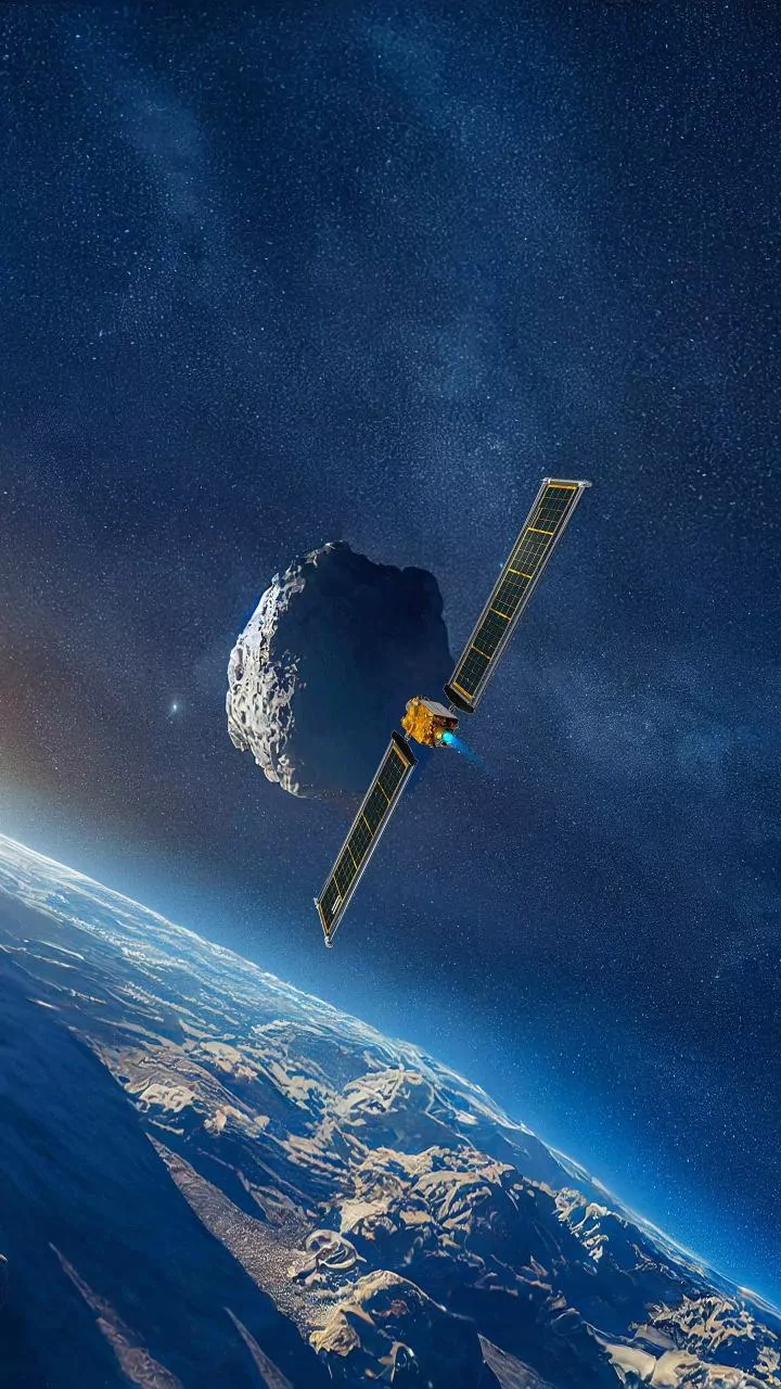
The workhorses behind these images are India's advanced geostationary satellites, primarily the INSAT series, including INSAT-3D and INSAT-3DR. Orbiting thousands of kilometres above the Earth, these satellites are equipped with sophisticated instruments called imagers and sounders. The imager captures pictures in multiple channels, including visible light for daytime and infrared to track clouds and measure their temperature at night. Exceptionally cold and bright white cloud tops in infrared imagery are a classic giveaway for deep, powerful thunderstorms capable of producing very heavy rain. The sounder adds another dimension, creating a vertical profile of the atmosphere to measure temperature and humidity at different altitudes. This combination allows meteorologists to see not just where the clouds are, but also understand their structure and rain-making potential.
Decoding the Monsoon’s Dance
This multi-layered data allows for a deep and practical understanding of the monsoon. Analysts can track the progress of the crucial monsoon trough, identify the formation of low-pressure systems that drive rainfall inland, and monitor sea surface temperatures that fuel the storms. For example, recent satellite observations clearly showed a system over the Arabian Sea drawing moisture onto the Maharashtra coast, leading to relentless downpours in Mumbai and the Konkan region. Simultaneously, a system over the Bay of Bengal was seen fueling towering cumulonimbus clouds over West Bengal and Odisha. By observing these 'twin monster systems', forecasters can issue more precise and timely warnings. The satellites can even enter a 'rapid scan' mode during severe weather events, capturing images every fifteen to thirty minutes to track a cyclone's development and trajectory with incredible accuracy.
From Data to Daily Decisions
This is where satellite data becomes a true practical explainer. For farmers, who depend on the monsoon, this information is invaluable. Understanding the onset and intensity of rains helps them synchronise planting schedules and manage irrigation. For disaster management agencies, these satellite inputs are a game-changer. Early warnings for cyclones, floods, and even rainfall-triggered landslides are generated using this data, allowing for timely evacuations and saving lives. An experimental early warning system for landslides has even been implemented along pilgrimage routes in Uttarakhand. For urban planners and citizens, the data provides crucial lead time to prepare for waterlogging and traffic disruptions in cities during periods of intense rainfall.
The Future of Forecasting
ISRO's commitment to Earth observation is constantly evolving. The continuous stream of high-resolution data from satellites like INSAT-3D/3DR is fed into powerful computer models, improving the accuracy of weather predictions. This synergy between satellite observation and computational modeling allows scientists to move from simply monitoring the weather to predicting its behaviour with greater confidence. The data is shared with the India Meteorological Department (IMD) and other agencies, forming the backbone of modern weather forecasting in the country. As the technology improves, the goal is to provide even more localized and longer-range forecasts, empowering every sector of India's economy to better navigate the challenges and opportunities presented by the monsoon.