





ISRO's Eyes on the Ocean
The Oceansat series is a family of Indian Earth observation satellites dedicated to oceanography and atmospheric studies, operated by the Indian Space Research Organisation (ISRO). The journey began with Oceansat-1 in 1999, followed by Oceansat-2 in 2009,
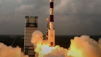
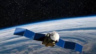
and most recently Oceansat-3 (also known as EOS-06) in November 2022. These advanced satellites are equipped with powerful sensors designed to monitor various oceanic parameters. Key instruments include the Ocean Colour Monitor (OCM), which observes the colour of the sea, and a scatterometer (SCAT), which measures wind speed and direction over the ocean surface. Together, these instruments provide a continuous stream of data that has become indispensable for both economic activities and disaster management along India's extensive coastline.
A Revolution for India's Fishing Community
One of the most significant applications of the OceanSat series is guiding fishermen to resource-rich areas. The satellite doesn't spot individual fish from orbit; instead, its Ocean Colour Monitor detects the presence of chlorophyll, the pigment in phytoplankton. High concentrations of phytoplankton attract small fish, which in turn attract larger, commercially valuable fish. Using this data, along with sea surface temperature readings, the Indian National Centre for Ocean Information Services (INCOIS) generates Potential Fishing Zone (PFZ) advisories. These advisories are sent out daily to over 500 fish landing centres in multiple regional languages, providing precise coordinates, depth, and distance from the coast. This service has dramatically reduced the time and fuel fishermen spend searching for a catch, making their expeditions more profitable and safer. Studies have shown that this technology not only increases the net profit for fishermen but also significantly cuts down on diesel consumption, reducing operational costs and carbon emissions.
A Shield Against Turbulent Weather
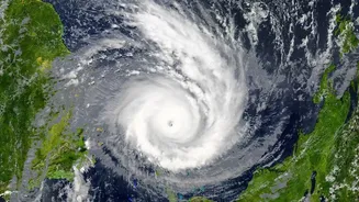
Beyond its role in the fishing industry, the OceanSat series is a critical tool for weather forecasting and tracking dangerous cyclones. The scatterometer instrument aboard the satellites provides vital data on ocean surface wind speed and direction. This information is crucial for the early detection and tracking of cyclonic formations over the North Indian Ocean. Data from the scatterometer is assimilated into weather models used by the India Meteorological Department (IMD) to improve the accuracy of cyclone track and intensity predictions. Accurate, early warnings are paramount for protecting coastal populations, allowing authorities to implement timely evacuation procedures and disaster mitigation measures. The ability to monitor wind fields across vast, otherwise unobserved stretches of the ocean has marked a paradigm shift in India's disaster management capabilities, significantly reducing the loss of life and property from these powerful storms.
The Future of Ocean Monitoring
The latest satellite in the series, Oceansat-3 (EOS-06), continues and enhances the services of its predecessors with improved sensors. Its advanced 13-band Ocean Colour Monitor and Ku-Band scatterometer provide even more detailed and frequent data, supporting a wide range of applications from climate change studies to monitoring water quality and sediment dynamics. ISRO is also developing new systems like 'Nabhmitra', a satellite-based communication platform, to deliver PFZ advisories, weather warnings, and two-way messaging directly to fishing vessels at sea, even in remote waters. This integration of satellite data with on-the-ground communication technology promises to further enhance the safety and efficiency of marine operations, demonstrating how India's space program directly benefits the lives of its citizens.