





The Hidden Dangers on Wet Roads
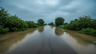
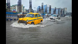
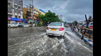
Driving during the Indian monsoon is more than just navigating rain-slicked tarmac. The season introduces a host of dynamic and often invisible threats. Heavy downpours dramatically reduce visibility and increase braking distances. Waterlogging can conceal
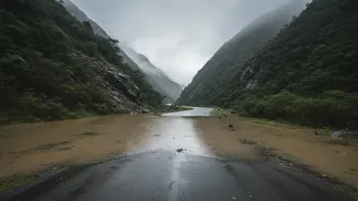
deep potholes and other road damage, while fast-moving water on roads can cause a vehicle to hydroplane, leading to a complete loss of control. In hilly and mountainous regions, the risks multiply. Saturated soil can lead to sudden landslides and mudslides, capable of blocking crucial highways for hours or even days. Recent events in states like Himachal Pradesh, where hundreds of roads were closed due to monsoon fury, serve as a stark reminder of how quickly conditions can change. These events often leave travellers stranded, cutting off access to essential supplies and emergency services.
Why Your Weather App Isn't Enough
While a standard weather app can tell you if rain is expected, it rarely provides the specific, actionable information needed for safe road travel during the monsoon. This is where official emergency advisories become indispensable. Agencies like the India Meteorological Department (IMD) and the National Disaster Management Authority (NDMA) issue detailed, location-specific warnings. These are not just weather forecasts; they are impact-based alerts. An advisory might specify which national highways are at high risk of landslides, which districts are under a flash flood watch, or which coastal roads are threatened by strong winds and high tides. The IMD uses a colour-coded system (Green, Yellow, Orange, Red) to indicate the severity of expected weather, helping you quickly assess the risk level for your intended route. An 'Orange' or 'Red' alert is a clear signal to reconsider or postpone travel plans.
Your Official Sources for Reliable Alerts
Knowing where to find timely and credible information is key. The primary source for all weather-related warnings in India is the India Meteorological Department (IMD). Their website, `mausam.imd.gov.in`, provides real-time updates, sub-division-wise warnings, and cyclone alerts. For broader disaster-related information, including road closures and evacuation notices, the National Disaster Management Authority (NDMA) and its state-level counterparts (SDMAs) are the go-to agencies. Many of these organisations have developed user-friendly mobile apps that push alerts directly to your phone. Popular and official apps include 'Mausam' and 'Damini' from the IMD, which provides lightning warnings, and apps from state-level bodies like Karnataka's 'Sidilu'. Following the official social media accounts of the IMD and your local traffic police can also provide instant updates on road blockages and diversions.
Integrating Advisories Into Your Travel Plan
Treating emergency advisories as a core part of your trip planning is a simple but powerful safety measure. Start monitoring alerts for your destination and route a few days before you depart. On the day of travel, do a final check before you leave home. If you're on a multi-day trip, make it a habit to check the forecast and any new warnings each morning. Designate a co-passenger as the 'navigator' responsible for monitoring conditions in real-time while you drive. Always have a backup plan. Identify potential alternate routes in case your primary one is blocked. Most importantly, be prepared to turn back. If authorities issue a 'Red' alert or advise against travel in a particular area, heed the warning. Pushing through dangerous conditions not only risks your own safety but can also strain emergency response resources.