
Venus: Earth's Hottest, Cloudiest Twin
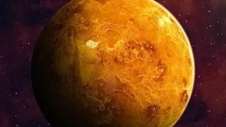
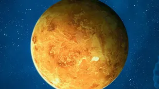
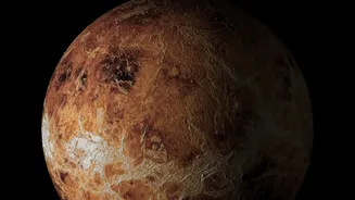
Venus may be similar to Earth in size, but it's a world of extremes. Its atmosphere is over 90 times denser than ours and composed almost entirely of carbon dioxide, creating a runaway greenhouse effect that pushes surface temperatures to a staggering
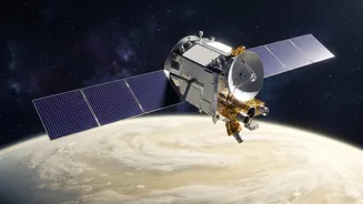
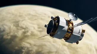
460°C—hot enough to melt lead. This dense atmosphere is permanently covered by opaque clouds of sulfuric acid, making it impossible to observe the surface with conventional cameras. These hostile conditions pose an immense challenge for any mission aiming to understand the planet's geology, volcanic activity, and evolutionary history. Why did Earth's twin evolve so differently into a scorching, inhospitable world? Answering this question is a primary goal for planetary scientists and a key driver behind ISRO's ambitious Shukrayaan-1 mission.
The Challenge of an Impenetrable Atmosphere
To study a planet's surface, you need to be able to see it. On Venus, that's the main problem. The thick, continuous cloud cover blocks visible light entirely. This means traditional optical telescopes and cameras are useless for surface mapping. Furthermore, the extreme pressure and temperature make landing a probe incredibly difficult and short-lived; the longest any spacecraft has survived on the Venusian surface is just over two hours. To truly understand Venus, we need a technology that can effectively ignore the clouds and map the terrain from the safety of orbit. This is where ISRO's clever instrumentation comes into play, relying on wavelengths of energy that the clouds can't stop.
ISRO’s Primary Tool: Synthetic Aperture Radar (SAR)
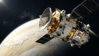
The star instrument of the Shukrayaan mission is the high-resolution Synthetic Aperture Radar (SAR). Unlike a camera that passively collects light, a radar is an active system. It sends out its own radio waves and listens for the echoes that bounce back. Because radio waves have a much longer wavelength than visible light, they can pass through Venus's sulfuric acid clouds unobstructed. The 'Synthetic Aperture' part is a sophisticated technique where the motion of the orbiting spacecraft is used to simulate a much larger antenna. By collecting data from multiple points along its orbit and combining them, the SAR can create incredibly detailed, high-resolution images of the surface, day or night, regardless of the weather. Shukrayaan's VSAR instrument aims to provide imagery with four times the resolution of NASA’s Magellan mission, which last mapped Venus in the 1990s.
Seeing Below the Surface
Shukrayaan-1 won't just map the surface; it will be the first mission ever to systematically probe what lies beneath. It will carry a ground-penetrating radar, an instrument designed to investigate the shallow subsurface of Venus. This will allow scientists to study stratigraphy—the layering of rock and soil—to understand the planet's geological history. The mission aims to investigate surface processes, volcanic hotspots, and lava flows, providing clues about whether Venus is still geologically active. This subsurface exploration is a crucial step in piecing together the timeline of how Venus turned into the planet it is today.
A Suite of Sensors for a Full Picture
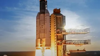
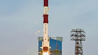
While the radar instruments focus on the surface and subsurface, other sensors will study the dense atmosphere. The mission includes international collaborations, such as the VIRAL (Venus Infrared Atmospheric Gases Linker) instrument, co-developed with Russia and France. This sensor will analyze the atmospheric composition, looking for trace gases and studying its structure. Another payload, VISWAS, developed with Sweden, will analyze the interaction between the solar wind and Venus's ionosphere. By combining surface mapping, subsurface sounding, and atmospheric chemistry, Shukrayaan-1 aims to create the most holistic picture of Venus to date. The mission, planned for a March 2028 launch, will carry a total of 19 scientific instruments to achieve its comprehensive goals.