

Our Eyes in the Sky
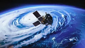
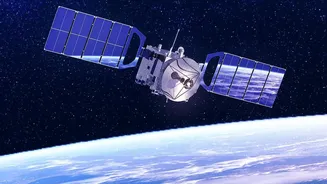
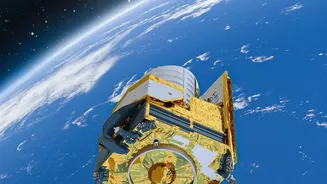
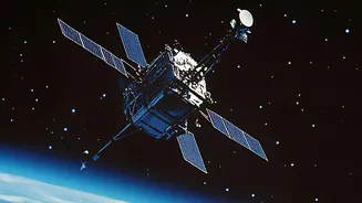
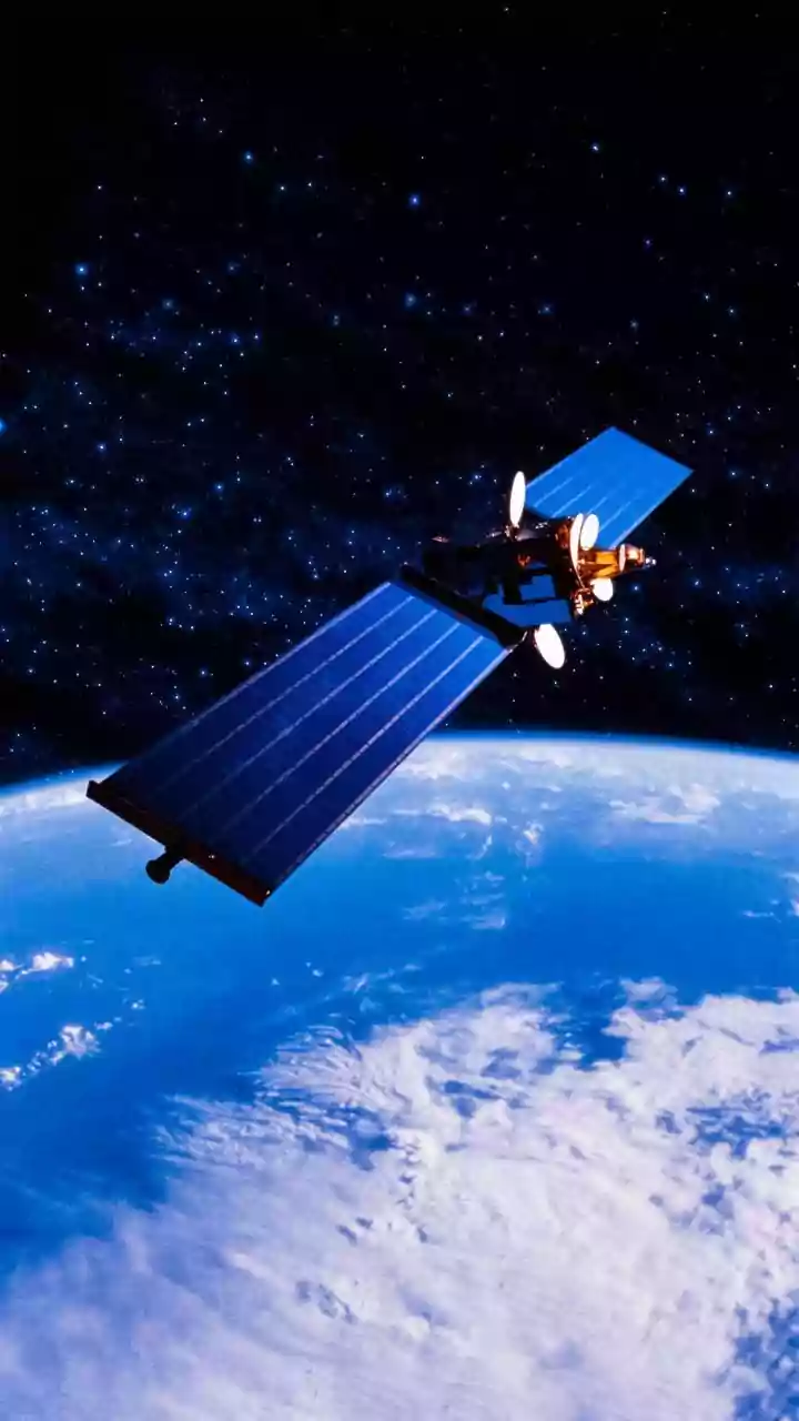
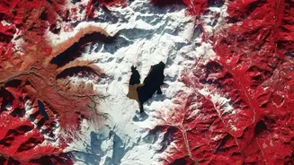
Space-based monitoring, also known as remote sensing, uses satellites orbiting Earth to collect data from a distance. These satellites are equipped with advanced sensors that capture images and information across different light spectrums, including those
invisible to the human eye. For India, this includes data from our own Indian Remote Sensing Satellite (IRS) series like Resourcesat and Cartosat, as well as international missions like the US Landsat and European Sentinel satellites. This technology allows scientists and policymakers to see large-scale changes in forest cover, water bodies, and land use with incredible detail, providing a consistent and unbiased view that is impossible to achieve from the ground alone.
Guarding Our Forests
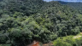
India's forests, covering over 21% of the country, face constant threats from illegal logging, encroachment, and forest fires. Satellite monitoring provides a powerful tool to combat these challenges. The Forest Survey of India (FSI) uses this technology for its biennial State of Forest Report, providing a comprehensive assessment of the nation's green cover. Satellites can detect deforestation almost as it happens, allowing for rapid response to illegal activities. For example, by comparing images over time, authorities can identify new clearings or roads in protected areas. Furthermore, specific sensors can detect heat signatures, enabling near real-time monitoring of forest fires, which helps in quick suppression and damage assessment.
Protecting Critical Wetlands
Wetlands are among the world's most productive ecosystems, but they are highly vulnerable to pollution, encroachment, and climate change. Satellites play a crucial role in their conservation by monitoring changes in water extent, quality, and vegetation health. For instance, radar-based satellites can 'see' through clouds, which is invaluable for monitoring wetlands during the monsoon season. This data helps track the seasonal filling and drying of water bodies, identifies illegal construction on floodplains, and assesses the health of vital mangrove forests along India's coasts. The upcoming NASA-ISRO Synthetic Aperture Radar (NISAR) mission is expected to provide even more detailed and frequent data on these ecosystems.
From Data to Action
The true power of satellite data lies in its application. In India, organisations like ISRO and FSI make this information accessible to state forest departments and other agencies, enabling targeted action. For instance, the FSI's 'Anavaran' portal used satellite imagery and machine learning to send fortnightly alerts to states about forest cover loss, prompting field inspections. Beyond government action, satellite imagery empowers conservation groups and local communities. For example, high-resolution data helps map habitat connectivity for species like the clouded leopard in Nagaland's community-managed forests, strengthening local conservation efforts. This transparency can hold corporations and governments accountable for their environmental commitments.
The Path Forward
While incredibly powerful, space-based monitoring is not a silver bullet. Challenges like persistent cloud cover in tropical regions can obscure optical satellite views, although radar technology helps mitigate this. Integrating the massive datasets requires significant technical expertise, and ultimately, the data must be verified on the ground. However, the technology is rapidly advancing. The rise of artificial intelligence allows for faster analysis of vast image libraries, and newer satellites offer even higher resolution. The increasing accessibility of this data means that more people than ever can participate in monitoring and protecting our shared natural heritage.