




The Challenge of Monsoon Travel
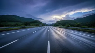
Navigating India during the monsoon has always been a calculated risk. A beautiful, sunny morning can quickly turn into a torrential downpour, leading to waterlogged roads, delayed trains, and disrupted flights. For decades, travellers have relied on broad,
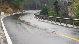
city-level forecasts that couldn't capture the sudden, intense weather events typical of the season. Planning a road trip meant hoping for the best, with little real-time information on conditions along the route. The risk of being caught in a flash flood or a landslide has been a serious concern, particularly in hilly regions and along coastal highways. This unpredictability makes planning difficult, forcing many to either cancel trips or proceed with caution, often without the detailed information needed to make truly safe decisions.
A New Generation of Forecasting Tools
The India Meteorological Department (IMD) has introduced a suite of advanced tools designed to provide more accurate and localised weather information. These are not just incremental updates; they represent a significant leap forward in weather science, integrating artificial intelligence and a denser network of observation stations. The core of this upgrade is a move towards hyperlocal forecasting, which provides weather predictions for very small areas, sometimes down to the village or block level. This is a stark contrast to older models that gave a single forecast for an entire district. Key platforms in this new arsenal include the MAUSAM app, the DAMINI lightning alert app, and a powerful new Route Forecast Tool. These services aim to create a seamless forecasting ecosystem, providing everything from seasonal outlooks to hourly alerts.
Hyperlocal Forecasts: Pinpoint Accuracy
The game-changer for travellers is the introduction of AI-driven, high-resolution forecasts. In May 2026, the IMD launched an AI-enabled system that can predict monsoon progression at the block level up to four weeks in advance. For more immediate planning, a pilot project in Uttar Pradesh demonstrated the ability to generate rainfall forecasts at a 1-kilometre spatial resolution. This means you can get a forecast not just for a city, but for a specific neighbourhood or a stretch of highway. For travellers, this hyperlocal data is invaluable. It can help decide whether to proceed on a scenic route, delay departure by a few hours to avoid a thunderstorm, or choose an alternate path altogether. This level of detail transforms weather from a general advisory into actionable intelligence.
Real-Time Alerts for Immediate Threats
While planning is crucial, monsoon travel often requires reacting to immediate conditions. The IMD's mobile apps are designed for this purpose. The MAUSAM app serves as a general weather hub, providing forecasts, radar imagery, and warnings for cities across India. More specific is the DAMINI app, a critical tool for anyone outdoors. It provides real-time tracking of lightning strikes and sends predictive alerts if lightning is likely to occur within a 40 sq. km radius of your location. Another powerful service is Nowcast, which issues short-range warnings (up to 3 hours) for severe weather events like intense rain and thunderstorms. These tools, accessible via a smartphone, act as a digital safety net, providing the timely warnings needed to seek shelter and avoid danger.
Planning Your Monsoon Journey
So, how do you use these tools for your next trip? Start with the big picture. Use the IMD's extended-range forecasts on the main website to understand the general monsoon activity for your destination. As your travel date approaches, turn to the MAUSAM app for 7-day city and district-wise forecasts. If you are planning a road trip, the new Route Forecast Tool is essential. It provides a seamless forecast for your entire journey, showing expected weather, temperature, and wind conditions along your path. Once on the road, keep the MAUSAM and DAMINI apps active on your phone. Enable location access and notifications to receive Nowcast alerts for sudden weather changes and lightning warnings for your immediate vicinity. By layering these tools, you can build a comprehensive and dynamic travel plan that adapts to the weather in real time, turning uncertainty into informed confidence.