




The Anatomy of a Rain-Induced Jam
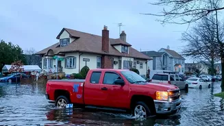
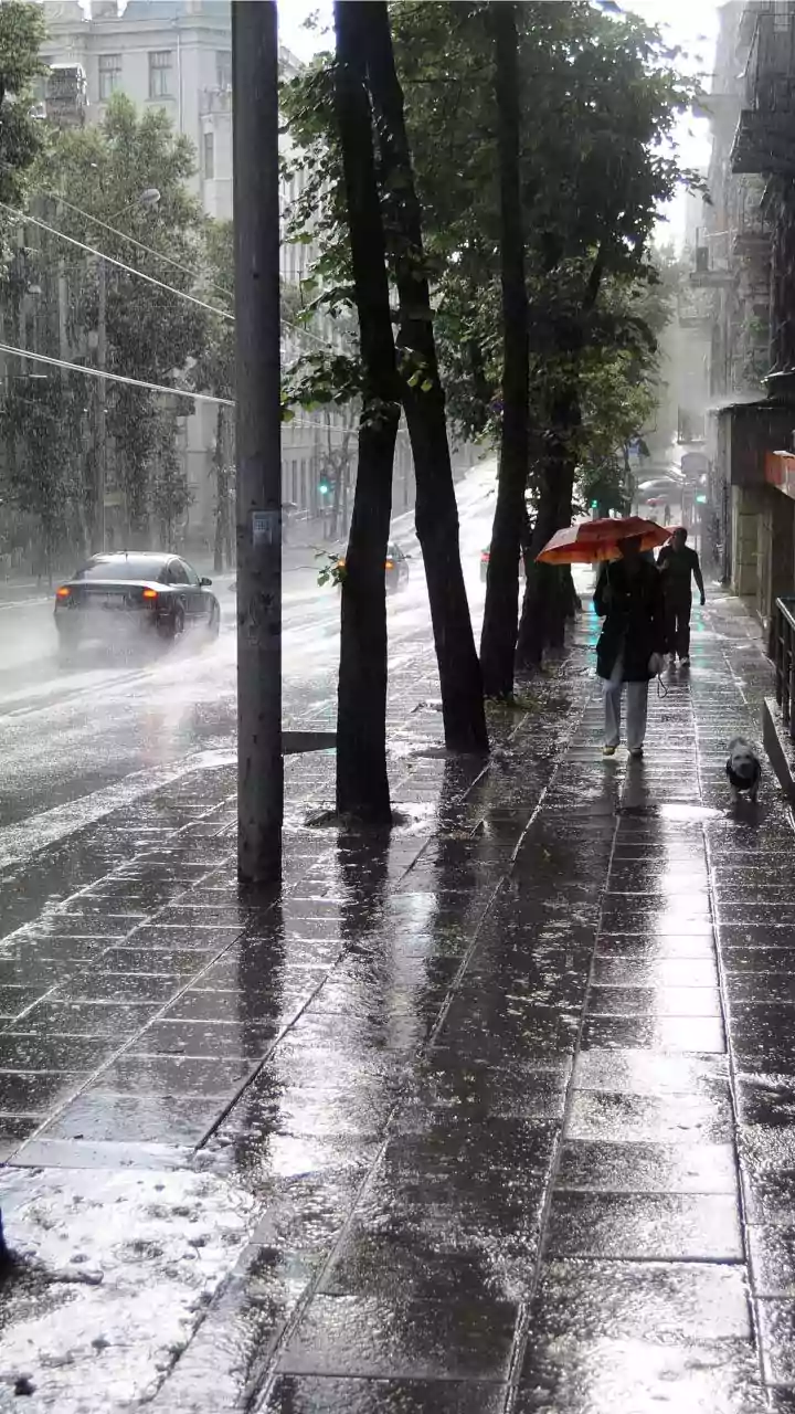
When heavy rain strikes, it’s not just the wet roads that slow everyone down. The real culprits are the cascading effects. Waterlogging is the most significant issue, turning low-lying roads and underpasses into impassable canals. A national survey revealed
that 94% of Indian city residents report waterlogging issues during monsoon. This leads to vehicle breakdowns, with drivers taking risks by attempting to drive through deep water, often causing engine damage. Visibility drops, forcing drivers to slow down, while hidden potholes submerged under murky water pose a serious risk of accidents and vehicle damage. The combination of these factors creates unpredictable bottlenecks that can spring up anywhere, turning a 30-minute commute into a multi-hour ordeal. These disruptions frequently cause significant delays, lost productivity, and increased stress for millions.
How Live Traffic Data Works
Live traffic information isn't magic; it's a powerful system of data collection and analysis. Navigation apps like Google Maps and Waze primarily rely on crowdsourcing. Every user with the app open on their phone anonymously sends data about their location and speed. When many phones in one area start moving slowly or stop altogether, the system’s algorithms flag it as congestion, colouring the road orange or red on the map. This is layered with other data sources. Many apps incorporate user reports for accidents, road closures, or other hazards. Furthermore, many city traffic police departments now actively partner with these platforms, feeding them official, real-time information about diversions, closures, and waterlogged areas directly. This blend of crowdsourced and official data creates a dynamic, up-to-the-minute picture of what’s happening on the streets.
Beyond Delays: A Critical Safety Tool
Thinking of live traffic apps as just a way to find a faster route is missing their most crucial function during a downpour: safety. The most valuable information they provide is often about avoiding hazards. These apps can display icons for reported road closures, accidents, and, critically, flooded streets. This allows you to see if your usual underpass is submerged before you even leave home. By proactively rerouting you around these danger zones, the technology helps you avoid getting stranded in deep water, which can lead to engine failure and costly repairs. It also reduces the risk of secondary accidents that often occur near an initial incident. In cities like Mumbai, dedicated disaster management apps from the local authorities even provide specific alerts on flooding spots and train service status. Using this information transforms your navigation app from a convenience into an essential tool for risk avoidance.
Making Smarter Travel Decisions
Armed with real-time information, you can move from being a victim of traffic to making proactive decisions. Before starting your journey, a quick check of the map can reveal the extent of the disruption. This allows you to make an informed choice: Is it better to delay your departure by an hour to let the worst pass? Should you take a longer, but clearer, alternative route that avoids the main waterlogged arteries? Or is the situation so bad that switching to the Metro or another form of public transport is the wisest option? Some apps even provide alerts for the best time to leave for frequent routes based on predictive traffic patterns. This strategic approach not only saves time but also significantly reduces the stress and uncertainty of monsoon travel. By checking conditions beforehand, you can plan your day more effectively and navigate the city with greater confidence, no matter the weather.