


A Treasure Map for the Lunar South Pole
The dream of a sustainable human presence on the Moon hinges on using local resources, and the most vital resource is water. Recent breakthroughs in lunar mapping are turning this dream into a tangible plan. It isn't just one map, but a series of advanced
studies that are creating a detailed 'treasure map' of water ice deposits concentrated at the Moon's south pole. Using data from multiple sources, including NASA's Lunar Reconnaissance Orbiter (LRO) and the now-retired SOFIA observatory, scientists have moved beyond just knowing ice exists to identifying its specific locations and forms. One effort by the U.S. Geological Survey even adapted Earth-based mineral prospecting techniques using artificial intelligence to predict the most promising areas for ice. This collective work provides an invaluable guide for mission planners, telling them not just that there's water, but where to send rovers and astronauts to find it.
The Challenge of the Permanent Shadows
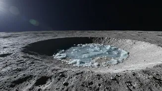
So why has finding this ice been so hard? The vast majority is trapped in Permanently Shadowed Regions (PSRs) — deep craters near the lunar poles where the sun never shines. Some of these spots haven't seen sunlight in billions of years, allowing temperatures to plummet to as low as -233 degrees Celsius. While these extreme cold traps are perfect for preserving ice, they are incredibly hostile environments for exploration. Early theories of thick, sheet-like glaciers of ice have given way to a more complex picture. More recent studies, using advanced instruments like NASA's ShadowCam, suggest the ice is often patchy, mixed in with lunar soil (regolith), or exists as smaller, isolated deposits rather than a vast, easily mineable reservoir. This makes the logistics even trickier; you can't just land anywhere in the dark. You have to know exactly where the most concentrated, accessible deposits are hidden.
A New Way to 'See' Beneath the Surface
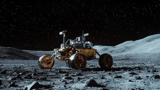
A truly groundbreaking development, announced in July 2026, offers a new way to prospect for this hidden ice without having to venture deep into the darkest craters. Scientists have developed a method using seismic waves — the same kind of vibrations produced by earthquakes — to detect buried ice. The principle is simple: seismic waves travel differently through dry soil versus ice-rich soil. By creating small vibrations with a rover's drill or even by measuring natural 'moonquakes', future explorers can create a 3D map of subsurface ice deposits. This is a game-changer because it allows missions to find ice that might be buried under a shallow layer of soil in areas that get some sunlight, making it far easier and safer to access and extract than the ice on the treacherous floors of permanently dark craters.
Fuel, Air, and the Future of Artemis
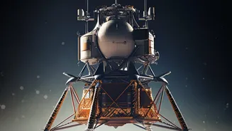
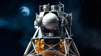
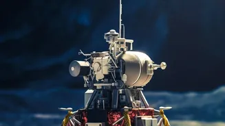
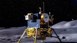
This detailed knowledge of water location directly addresses a core challenge for NASA's Artemis program, which aims to build a long-term human presence on the Moon. Water is not just for drinking. Through a process called electrolysis, it can be split into oxygen for breathing and hydrogen for rocket fuel. Access to lunar water could mean future missions can refuel on the Moon for trips to Mars, drastically reducing the mass and cost of what needs to be launched from Earth. The new mapping techniques will be put to the test soon. China's Chang'e-7 mission, scheduled to land near the south pole in late 2026, will carry a seismometer. NASA's own future Artemis missions plan to deploy similar instruments to begin the real-world process of prospecting. These maps ensure that when astronauts do return to the Moon to stay, they will arrive with a clear plan of where to find the most essential ingredient for their survival and for the future of space exploration.