




The Monsoon's Allure and Perils
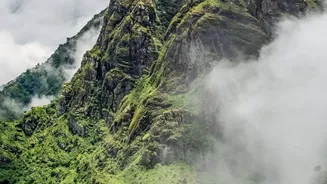
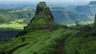
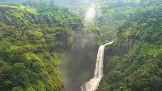
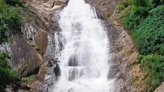
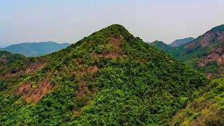
Every year, from June to September, the Sahyadri range of the Western Ghats undergoes a dramatic makeover. Dry, brown hills turn into a carpet of vibrant green, and dormant waterfalls cascade down cliffs with spectacular force. For trekkers from Mumbai,
Pune, and Bengaluru, the call of trails like Lohagad, Kalsubai, and those near Dudhsagar is irresistible. Yet, the same rains that bring this beauty also introduce significant dangers. Trails become slick with mud and slippery rock, visibility can drop to near-zero in minutes due to thick fog, and flash floods can turn gentle streams into raging, uncrossable torrents. Incidents of trekkers getting lost, injured, or worse are a sad reality of the season, prompting authorities to frequently issue restrictions or even ban access to high-risk areas like Andharban, which was recently closed due to landslides.
Beyond Phone Maps: Dedicated GPS Explained
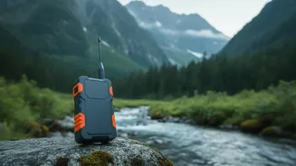
While most trekkers carry a smartphone with map apps, dedicated GPS trackers offer a different level of safety. Unlike phone apps that rely on cellular networks, many advanced GPS devices communicate directly with satellite networks like Iridium. This means they work in the remote valleys and dense forests of the Ghats where mobile signal is non-existent. These rugged, often waterproof devices are designed for the backcountry, with long-lasting batteries that far outlive a typical smartphone. They provide not just navigation but a suite of life-saving communication tools that are becoming indispensable for both trekkers and rescue teams.
The Lifesaving Power of an SOS Button
The single most critical feature of a modern satellite communicator is the SOS button. When a trekker is injured, hopelessly lost, or facing a medical emergency, a press of this button sends a distress signal containing their precise GPS coordinates to a 24/7 international emergency response coordination center. This is not like calling a local number; it's a dedicated system that bypasses the need for a phone network. The response center can then communicate with the user via two-way messaging on the device to understand the nature of the emergency and coordinate with local authorities—be it the Forest Department, local police, or National Disaster Response Force (NDRF) teams—to dispatch a rescue. This technology dramatically cuts down search times from days to hours, which can be the difference between life and death.
Real-Time Tracking and Official Mandates
It's not just about emergencies. Many GPS devices allow trekkers to share a live map of their journey with family and friends, offering peace of mind. Trekking companies and authorities are also leveraging this feature, known as real-time tracking, to monitor groups moving through sensitive areas. This allows a base camp manager to see if a group has strayed from the designated trail or has been stationary for too long, suggesting a potential problem. Recognizing these benefits, some states are making the technology mandatory. The Karnataka Forest Department, for instance, has updated its rules, requiring guides to carry GPS-enabled walkie-talkies and for trekkers to potentially use apps with route mapping to prevent them from straying from the path.
A Tool, Not a Replacement for Caution
While advanced GPS is a powerful safety net, experts and authorities caution that it doesn't make a trekker invincible. Technology can fail, batteries can die, and a distress signal doesn't guarantee an instant rescue, especially in extreme weather. The fundamentals of monsoon trekking safety remain paramount. This includes checking weather forecasts and official advisories, never trekking alone, carrying proper gear like shoes with good grip and waterproof layers, and hiring a local guide. Many trails in Maharashtra and Karnataka now have strict rules, including mandatory guides and online permits, to regulate the flow of trekkers and ensure accountability. The best approach is to use GPS as one part of a comprehensive safety plan, not as a license for recklessness.