






The Millimetre Problem
For most of us, the GPS on our phones is a marvel of accuracy. But for researchers in fields like climate science, geology, and oceanography, precision is everything. Scientists rely on a combination of powerful techniques to measure the Earth: the Global
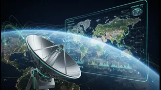
Navigation Satellite System (GNSS), which includes GPS; Very Long Baseline Interferometry (VLBI), which uses radio telescopes to observe distant cosmic objects; and Satellite Laser Ranging (SLR), which bounces lasers off satellites. For decades, these three systems have operated independently. While each is incredibly powerful, stitching their data together requires ground-based surveys that introduce small but significant errors, sometimes at the millimetre level. This might not sound like much, but when you’re trying to measure sea-level rise or the slow drift of continents, a few millimetres can make all the difference, creating uncertainty in vital environmental models.
A Universal Translator in Space
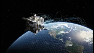
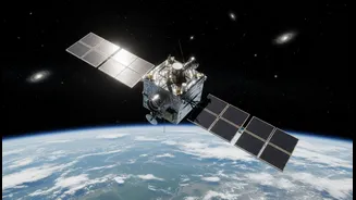
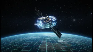
Enter GRITSS, which stands for Geodetic Reference Instrument Transponder for Small Satellites. Developed by NASA, this suitcase-sized CubeSat, which launched in early July 2026, is designed to be a universal translator in space. Its core mission is to act as a single, unified reference point that can be observed by all three major geodetic systems simultaneously. By creating a common target in orbit, GRITSS allows scientists to directly link and calibrate the data from GNSS, VLBI, and SLR networks, effectively eliminating the small 'site tie' errors that arise from combining their separate measurements. The goal is to vastly improve the International Terrestrial ReferenceFrame (ITRF), the fundamental global grid that underpins virtually all Earth observation and navigation.
How GRITSS Bridges the Gap
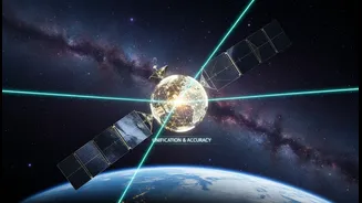
The satellite carries a unique payload to achieve this. A modified GPS receiver on GRITSS captures signals from the navigation constellation. Onboard processors then translate these signals in real-time, upconverting them to S-band and X-band frequencies that can be read by the massive VLBI radio telescopes on the ground. This allows a VLBI station to function like a highly advanced GPS receiver, observing the same signals that other networks use. Concurrently, GRITSS is equipped with a laser retroreflector, a special mirror that allows SLR ground stations to bounce laser beams off it to measure distance with incredible precision. By being a single object that speaks the 'language' of all three systems, it provides a direct, space-based link to correlate their data with unprecedented accuracy.
A New Era for Earth Science
The implications for researchers are profound. A more accurate and stable ITRF, with a target accuracy of one millimetre, allows for much more precise tracking of the subtle but critical changes associated with our planet's dynamics. For climate scientists, this means a clearer ability to separate the signal of melting ice sheets from the signal of coastal land subsidence when measuring global sea-level rise. It will enhance the monitoring of freshwater distribution, the tracking of ocean-climate cycles like El Niño, and the creation of more reliable climate models. This enhanced accuracy trickles down to everything from predicting earthquakes to managing water resources, providing a stronger foundation for data-driven decisions.
Relevance for a Dynamic India
For a nation as geographically diverse and dynamic as India, the benefits are particularly significant. With its own regional navigation system, NavIC, India is already a key player in geospatial technology. The enhanced global framework provided by GRITSS will empower Indian researchers with a more reliable baseline for their work. More precise data can transform urban planning in fast-growing cities, improve precision agriculture techniques, and provide critical information for disaster management. A globally consistent and highly accurate reference frame allows for better tracking of Himalayan glacier melt, changes in monsoon patterns, and groundwater depletion—all critical issues for the subcontinent. It empowers scientists and policymakers to move from simply observing environmental change to proactively managing its impacts with data they can trust.