

Meet NISAR: Our New Weather-Proof Watchman
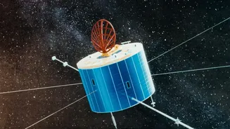
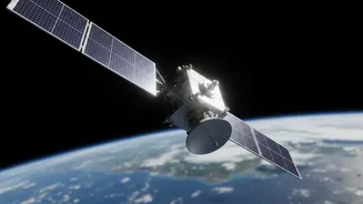
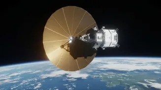
Imagine having a satellite that can see through the thickest monsoon clouds, day or night, and deliver a picture of the ground below. That is the capability of NISAR (NASA-ISRO Synthetic Aperture Radar), a powerful Earth-observation satellite jointly
developed by the US and Indian space agencies. Launched in July 2025, NISAR is not an ordinary camera. It is equipped with advanced Synthetic Aperture Radar (SAR) technology. Think of it less like a telescope and more like a bat using sonar; it sends out microwave pulses and reads the echoes that bounce back. This allows it to create detailed images of Earth's surface regardless of weather conditions or time of day. This is a game-changer, especially for a country like India where cloud cover during flood events has historically been a major blind spot for traditional optical satellites.
The Power of a Daily Data Stream
While NISAR revisits every spot on the globe every 12 days, the headline's promise of 'daily' images refers to a crucial operational breakthrough. Starting in July 2026, ISRO began making the processed S-band radar data from the satellite available for download on a daily basis through its Bhoonidhi portal. This means disaster management agencies, scientists, and planners no longer have to wait weeks for critical information. Instead, fresh data on land and water conditions across the country is consistently flowing. This rapid availability transforms the satellite from a research tool into a near-real-time monitoring system. It allows authorities to track a developing flood situation as it unfolds, rather than simply assessing the damage after the fact. This continuous stream of data is vital for making timely and life-saving decisions on the ground.
How Radar Maps a Floodplain
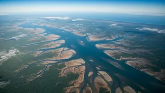
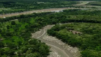
The magic of SAR in flood mapping lies in how different surfaces reflect its radar pulses. A dry, rough land surface scatters the radar signal in many directions, and some of it returns to the satellite, appearing as a brighter area in the image. In contrast, a smooth surface like standing water acts like a mirror, reflecting the radar signal away from the satellite. This makes flooded areas appear as dark patches in a SAR image, creating a stark and clear map of the extent of inundation. By comparing an image taken before a flood with one captured during, analysts can immediately identify and map the affected areas with high precision. ISRO recently showcased this capability with a stunning image of the Brahmaputra river basin, which clearly distinguished the river channels from the vegetated floodplains, demonstrating its direct application for hydrological monitoring in India.
From Data to Life-Saving Decisions
This new wealth of information has profound implications for India. For disaster response teams, it means having accurate maps to guide rescue and evacuation efforts, identifying which villages are cut off and which roads are still passable. For agricultural authorities, it provides insights into soil moisture and the impact of floods on croplands, helping to assess damage and plan for recovery. Over the long term, the archive of data NISAR builds will be invaluable for urban planners and policymakers. It will help in identifying high-risk zones, designing more resilient infrastructure, and creating better land-use policies to mitigate the impact of future floods. By making this data accessible through its own platforms, ISRO is empowering a wide range of Indian stakeholders to turn satellite imagery into actionable intelligence.