





From States to Streets: A New Era of Forecasting
For years, monsoon forecasts were broad, covering entire states or large sub-divisions. A citizen in Mumbai would receive the same alert as someone in a distant part of Maharashtra. That era is fading. The IMD now provides district-wise, and even block-level,
weather warnings, updated multiple times a day. These forecasts, powered by an expanding network of Doppler radars and improved modelling systems, can predict heavy rainfall with unprecedented accuracy. An alert is no longer just about 'heavy rain in the region'; it's about the likelihood of a downpour in your specific area, allowing for better preparation. This leap in forecasting is a significant achievement, offering citizens and disaster management authorities a clearer, more localized picture of impending weather events.
The Last-Mile Information Gap
This newfound precision, however, creates a new kind of challenge: the last-mile information gap. Knowing that heavy rain is predicted for a specific district is one thing; knowing if your local railway station is waterlogged or if the highway underpass on your route is flooded is another. The granular nature of IMD's alerts highlights specific vulnerabilities but doesn't provide the corresponding real-time status of the infrastructure within that area. For a commuter, the critical questions become intensely practical: “Is my train running on time?” “Is the Western Express Highway gridlocked?” “Can I even get out of my neighbourhood?” This is where the utility of a weather forecast ends and the need for immediate, on-the-ground information begins.
Navigating Disruption on Rails and Roads
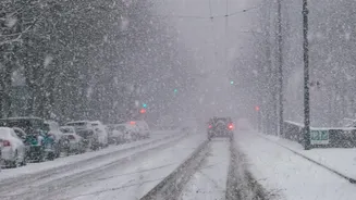
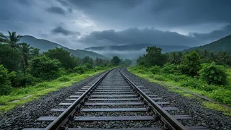
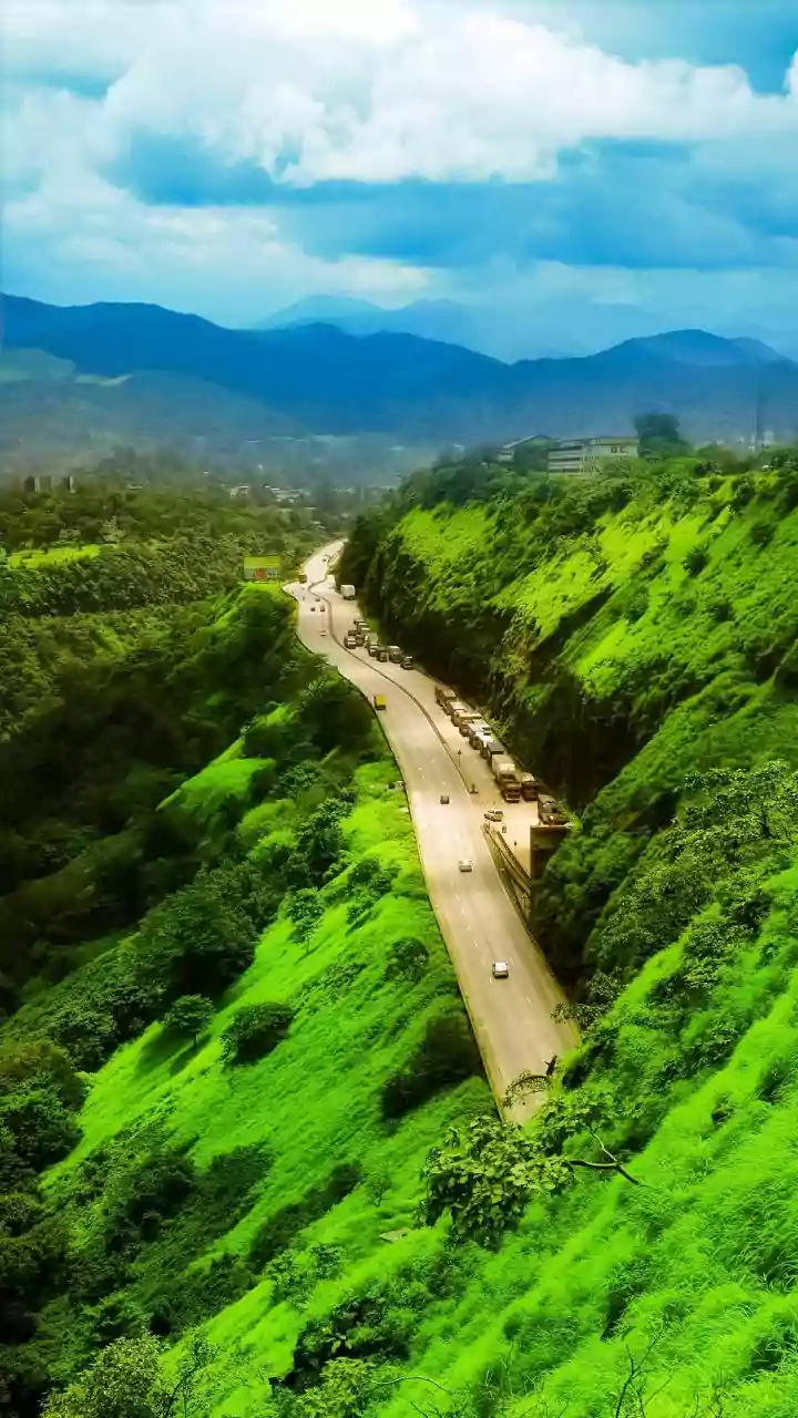
During heavy monsoon spells, public transport and road networks are the first casualties. In cities like Mumbai, Chennai, and Delhi, heavy rains can lead to waterlogged tracks, forcing the cancellation or delay of suburban trains. Slippery platforms and overcrowded stations add to the safety risks for millions who depend on the rail network. For those on the roads, the situation is equally precarious. Even moderate rainfall can reduce road capacity and vehicle speeds significantly. Key arterial roads become choke points, underpasses fill with water, and potholes—often invisible beneath the murky water—become serious hazards, leading to accidents and vehicle damage. Transportation times can increase by up to 40%, and costs rise as vehicles are rerouted around damaged infrastructure.
A Patchwork of Present Solutions
In the absence of a unified system, commuters have become resourceful, relying on a patchwork of tools to navigate the chaos. Real-time traffic apps like Google Maps provide some guidance on road congestion. Social media platforms, especially X (formerly Twitter), are filled with crowdsourced updates from fellow travellers and official handles of traffic police departments. Community WhatsApp groups buzz with localised warnings and advice. While often helpful, these sources are fragmented, not always verified, and can be unreliable. A single, authoritative source that seamlessly combines weather alerts with live transport status remains elusive for the average citizen. Commuters are left to piece together information from multiple apps and feeds, a frustrating task during a developing weather situation.
The Need for an Integrated Information System
The logical next step is to bridge this gap by creating integrated information systems. Imagine a single dashboard or mobile application where an IMD alert for your district is automatically layered with real-time status updates from railway authorities, the National Highways Authority of India (NHAI), and local municipal corporations. Such a system would offer a complete operational picture: the 'why' (heavy rain) combined with the 'what' (trains delayed, highway flooded). This isn't a futuristic fantasy; the technology for this integration already exists. Some sectors, like aviation, have already implemented sophisticated, localised weather intelligence platforms to enhance safety and efficiency. Applying a similar, public-facing model for road and rail transport is the key to making advanced weather warnings truly actionable for everyone.