
A Comeback Mission
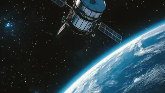
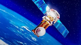
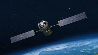
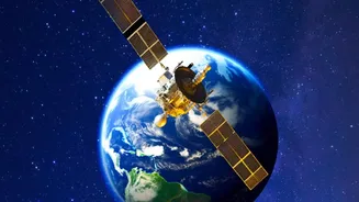
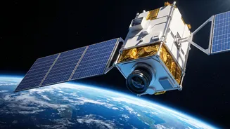
The mission, often referred to as GISAT-1A or by its official designation EOS-05, represents a critical second attempt for ISRO. Its predecessor, GISAT-1 (EOS-03), was lost during a launch failure in August 2021 when the GSLV rocket's cryogenic upper
stage malfunctioned. After a period of review and redesign, ISRO is preparing to launch the replacement satellite aboard a GSLV-F17 rocket. This upcoming launch is one of the most watched missions for the Indian space agency, carrying the goal of establishing a first-of-its-kind, continuous surveillance capability from a high orbit.
What Makes Geostationary Imaging a Game-Changer?
Most of India's current Earth observation satellites are in Low Earth Orbit (LEO), meaning they circle the planet and can only view a specific location for a few minutes at a time. GISAT-1A is different. It will be placed in a geostationary orbit, about 36,000 kilometres above the Earth. At this altitude, the satellite's speed matches the Earth's rotation, allowing it to seemingly 'hover' over the Indian subcontinent. This fixed vantage point is the key to its power, enabling it to watch over a vast area continuously, a capability often described as a 'camera on a very tall pole'.
The Power of 'Near-Real-Time'
The true advantage of GISAT-1A lies in its speed. The satellite is designed to be agile, capable of capturing images of the entire Indian mainland roughly every half an hour. Even more impressively, it can be directed to focus on specific areas of interest, providing updated imagery every five minutes. This rapid revisit capability is what 'near-real-time' means in this context. It drastically reduces the delay between what is happening on the ground and when decision-makers can see it, a crucial factor in fast-moving situations.
A Shield Against Natural Disasters
For a country prone to natural calamities, this technology is transformative. During a cyclone, the satellite can provide continuous updates on the storm's path and intensity, helping authorities issue timely warnings and plan evacuations. In the event of floods, it can map the extent of inundation in near-real-time, even through cloud cover using certain sensors, allowing rescue teams to identify the worst-hit areas and plan relief routes. The same applies to monitoring forest fires, giving firefighters a dynamic map of the blaze to work from.
Strengthening National Security
The strategic implications of a persistent eye over the region are significant. Near-real-time imaging allows for enhanced surveillance of India's borders and vast coastline. It enables security forces to monitor troop movements, detect unauthorised activities in remote areas, and track maritime traffic in the strategically vital Indian Ocean region. This constant monitoring provides a new layer of situational awareness that is critical for modern national security and defence planning.
Smarter Resource Management
Beyond crises, the mission will be a boon for everyday governance and economic planning. The satellite's data can be used to monitor the health of agricultural crops on a large scale, assess water levels in reservoirs, and track changes in forest cover. This flow of information helps in making smarter decisions about water resource allocation, agricultural policy, and environmental protection. It can also aid in urban planning by providing up-to-date data on how cities are expanding.