






A Coastline Under Pressure
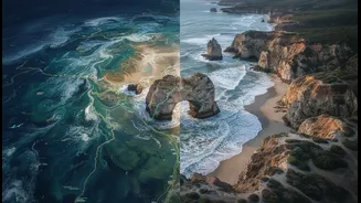
From the Arctic to the tropics, coastal communities face an accelerating crisis. Climate change is fueling more intense storms, rising sea levels, and rapid erosion that threaten homes, livelihoods, and cultural heritage. For generations, governments
and scientists have relied on top-down planning, using large-scale data to predict change. While useful, this approach often misses the granular, lived experience of the people who know the land and water best. Indigenous Peoples, who often depend directly on ecosystems for their survival and culture, are disproportionately vulnerable. Their environments are changing at a pace that can sometimes outstrip the predictive power of traditional knowledge alone, creating an urgent need for new, collaborative tools.
The Wisdom of Generations
Indigenous knowledge, sometimes called Traditional Ecological Knowledge (TEK), is far more than a collection of stories. It is a sophisticated, multi-generational dataset gathered through intimate observation and connection to a specific place. This living library holds invaluable information on historical weather patterns, animal migrations, subtle shifts in vegetation, and the long-term behaviour of ice and tides. Elders can recall how a shoreline looked decades ago or where fish were traditionally found in different seasons. This deep, place-based understanding provides a historical and cultural context that satellite data alone can never capture. It offers the 'why' behind the 'what' that technology observes from space.
An Eye in the Sky
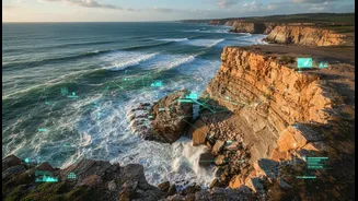
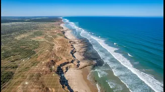
Simultaneously, satellite technology offers a powerful complementary perspective. Earth Observation (EO) satellites provide consistent, large-scale data on critical climate indicators. They can precisely measure sea-level rise, track the melting of glaciers, map the extent of coastal erosion over decades, and monitor changes in water quality or vegetation health with incredible accuracy. This technology’s strength is its ability to provide a synoptic, unbiased view of environmental trends across vast and often remote areas. However, satellite data can be difficult to interpret without local context. It might show that a coastline is eroding, but it can’t explain the cultural significance of the land being lost.
Weaving Data Through 'Two-Eyed Seeing'
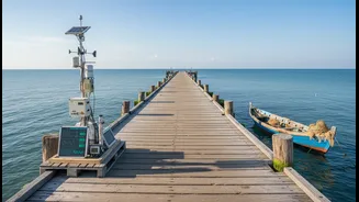
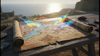
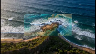
The most effective climate solutions are emerging where these two worldviews meet. The concept, described as 'Two-Eyed Seeing', involves using the strengths of Indigenous knowledge and Western science together. This collaborative process is not about validating one form of knowledge with the other, but about weaving them together to create a more complete picture. Around the world, this takes many forms. In some communities, specially trained 'Community Sentinels' or 'Guardians' are equipped to monitor their local environment, collecting data that blends traditional methods with scientific tools. In others, researchers and Indigenous leaders hold workshops where they overlay satellite maps with hand-drawn maps of culturally significant sites, seasonal travel routes, and historical environmental changes.
From Evidence to Action
This synthesis is leading to tangible decisions that build resilience. In Sanikiluaq, an Inuit community in Nunavut, Canada, changing climate patterns were disrupting access to traditional fish stocks. By combining local knowledge of marine life with satellite data and AI modeling, the community identified new, viable locations for commercial inshore fishing, creating an adaptable economic solution. In Maine, students at the Pleasant Point Passamaquoddy Reservation worked with elders and scientists, using NASA satellite images and historical accounts to measure the dramatic erosion of their coastline. This evidence-gathering directly informed their next steps: planning resilience strategies like marsh restoration to protect their land and heritage. These projects show how the approach moves beyond simply monitoring a problem to actively creating community-led solutions.