




A Land Shaped by Water
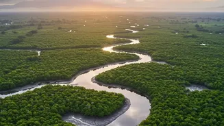
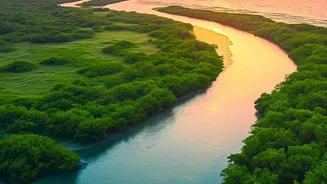
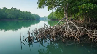
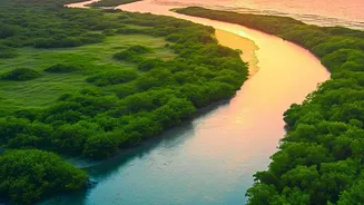
The Sundarbans, the world's largest mangrove forest, is a complex and dynamic delta spread across India and Bangladesh. For the millions living here, the water is both a source of life and a constant threat. The region is low-lying, making it exceptionally
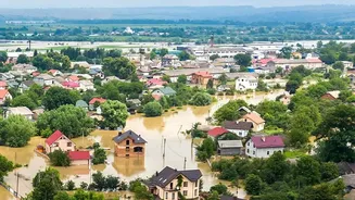
vulnerable to tidal surges, river floods, and the increasing intensity of cyclones rolling in from the Bay of Bengal. For generations, predicting the water's fury was a matter of experience and instinct. But with climate change accelerating sea-level rise and making weather more extreme, traditional knowledge is no longer enough to prevent catastrophic loss of life, homes, and livelihoods. Studies have documented the rising frequency of floods, with some households experiencing a major event nearly every 17 months.
Eyes in the Sky
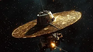
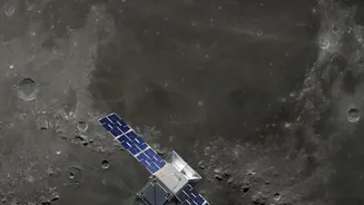
Enter the world of real-time satellite telemetry. This isn't science fiction; it's a practical application of space technology for saving lives. A network of satellites, including those from ISRO and international partners like NASA and the European Space Agency, constantly monitors the region. These satellites use different types of sensors to gather a wealth of data. Optical sensors act like powerful cameras, while radar-based systems can see through clouds and even measure changes in ground level and water height with incredible precision. This technology allows authorities to monitor vast, inaccessible areas of the delta that would be impossible to survey from the ground. It creates a living, breathing map of the entire ecosystem.
From Data to Action
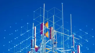
The true innovation lies in what happens to this data. Raw satellite imagery and measurements are beamed down and processed by powerful computer models, often using artificial intelligence. These systems analyze rainfall intensity upstream, measure river water levels, track soil moisture, and even monitor the health of the mangrove forests which act as a natural flood barrier. This is where 'telemetry' comes in—it’s the automated process of collecting this data from remote points and transmitting it to a central hub for analysis. The result is what experts call "actionable data": not just information, but specific, timely, and location-based insights. For example, the system can predict that heavy rainfall 300 kilometers upstream will likely cause a specific area in the Sundarbans to flood in the next 48 hours.
The Human Impact
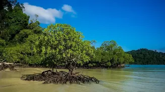
This actionable data translates directly into on-the-ground flood defense. Instead of a general warning, disaster management authorities can now issue highly specific alerts. An SMS can be sent to villagers in a threatened area, advising them to move to higher ground or a designated shelter. Officials can pre-position emergency supplies, medical teams, and rescue boats in areas identified as high-risk, dramatically improving response times. This technology also informs long-term strategy. By identifying areas where embankments are weak or where the protective mangrove forests are degrading, authorities can target restoration and reinforcement efforts more effectively. It transforms flood management from a purely reactive exercise to a proactive, predictive one, giving communities the precious gift of time.