




A Legacy of Watching from Above
For decades, the Indian Space Research Organisation (ISRO) has been building a formidable constellation of satellites to serve the nation's needs. The journey began with the multipurpose INSAT (Indian National Satellite System) series in the 1980s, which
combined telecommunications with meteorological services. These satellites, equipped with Very High-Resolution Radiometers, provided the first continuous eye over the Indian subcontinent, transforming weather forecasting from a ground-based exercise into a space-age science. This legacy evolved with dedicated meteorological satellites like Kalpana-1 and the advanced INSAT-3D series, which brought sophisticated imagers and sounders to measure atmospheric temperature and humidity. Alongside these geostationary sentinels, which hover over a fixed spot, ISRO developed its Earth Observation Satellite (EOS) series, designed for high-resolution mapping of land, water, and forests. It is at the intersection of these two powerful capabilities—constant weather watch and detailed surface imaging—that a future satellite, notionally termed EOS-05, finds its purpose.
Meet EOS-05: The Next-Generation Sentinel
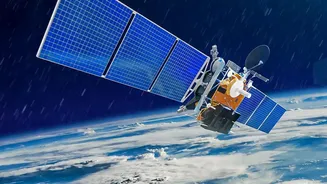
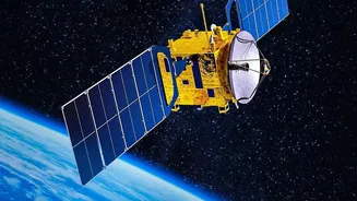
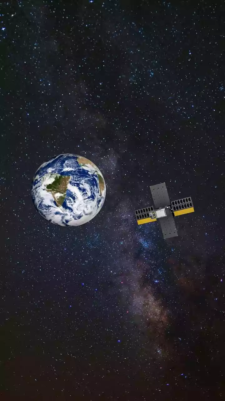
While ISRO has a numbered EOS series, the designation 'EOS-05' represents the next logical step: an advanced, agile geo-imaging satellite. Unlike most Earth observation satellites that are in low-earth orbit and pass over an area periodically, a geostationary imager like EOS-05 is designed to be positioned 36,000 kilometres above the equator. From this vantage point, its orbit matches the Earth's rotation, allowing it to stare continuously at the Indian subcontinent and its surrounding oceans. This persistence is a game-changer. Its primary mission would be to provide near real-time imagery of large areas, a capability especially crucial for monitoring fast-developing events. The original mission for this type of satellite, GISAT-1, faced a launch failure in 2021, making the successful deployment of its successor a key priority for ISRO to demonstrate this critical capability.
Sharpening Weather Forecasts
A satellite like EOS-05 would dramatically enhance the capabilities of the India Meteorological Department (IMD). Its advanced instruments would provide a constant stream of high-resolution data on cloud formation, wind patterns, and sea surface temperatures—key ingredients for predicting weather. For cyclones, this is revolutionary. Instead of intermittent snapshots, forecasters could track a storm's development from a low-pressure area far out at sea, monitoring its intensification, and predicting its track and landfall with far greater accuracy. This allows for more precise and timely warnings. The same applies to the monsoon, the lifeline of India's agriculture. Continuous observation of cloud cover and moisture transport over the Indian Ocean can significantly improve both short-term rainfall predictions and long-range monsoon forecasts, which have already seen a 20-30% improvement in accuracy thanks to existing satellites.
Transforming Disaster Management
Beyond forecasting, the true strength of a satellite like EOS-05 lies in disaster management across all its phases. For preparedness, its imaging capabilities can help create detailed vulnerability maps, identifying areas prone to landslides or flooding. During a disaster, its near real-time data becomes invaluable for response teams. Flood inundation can be mapped almost as it happens, allowing authorities to guide rescue operations and deploy resources effectively, as seen during past events like the Kerala floods. The satellite's ability to see through clouds, potentially using synthetic aperture radar (SAR) technology like that on EOS-04, means that monitoring can continue day and night, regardless of weather conditions. In the aftermath, the same satellite can provide rapid and accurate damage assessment, helping officials understand the scale of destruction to infrastructure and plan relief and recovery efforts more efficiently.
A Strategic National Asset
The development of a sophisticated satellite like EOS-05 is not just a technological achievement; it's a strategic imperative. It reinforces India's self-reliance in space technology and ensures data sovereignty for critical national applications. The information gathered is vital for everything from agriculture and water management to urban planning and national security. Furthermore, ISRO has a long history of international collaboration and provides satellite data to neighbouring countries and global disaster response frameworks like the International Charter 'Space & Major Disasters'. By continuously advancing its satellite fleet, ISRO not only strengthens India's resilience but also solidifies its role as a responsible and capable space-faring nation committed to using its technology for humanitarian benefit.