




The Whispers of a Drowned World
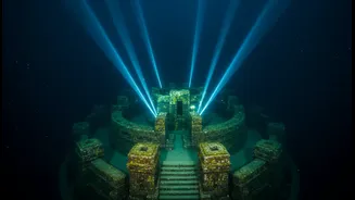
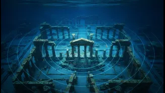
For centuries, tales of magnificent cities like Poompuhar, the legendary port capital of the early Cholas, have captivated historians and locals alike. Ancient texts such as 'Manimekalai' describe a vibrant city that vanished into the Bay of Bengal, an event
believed to be caused by coastal erosion or a catastrophic flood. These stories were long considered myth, but tantalising discoveries in the intertidal zones—like brick structures and terracotta ring wells—suggested a much larger truth was waiting to be found under the sea, sparking a modern-day treasure hunt for India's submerged heritage.
The High-Tech Detective: Sonar
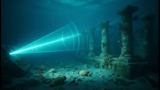
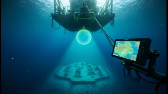
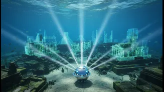
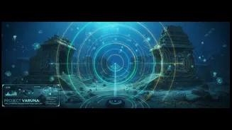
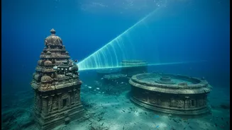
You can't see through murky water, and GPS doesn't work beneath the surface. This is where advanced sonar comes in. SONAR, which stands for Sound Navigation and Ranging, works a bit like a bat's echolocation. A research vessel tows a device that sends out pulses of sound waves. These waves travel to the seabed, bounce off whatever is down there, and return as echoes. By measuring the time it takes for these echoes to return, a computer can build a detailed, three-dimensional picture of the ocean floor, revealing every bump, ridge, and unnatural shape.
From Sound Pings to Ancient Walls
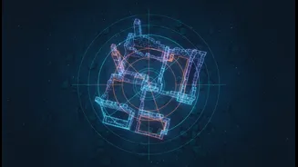
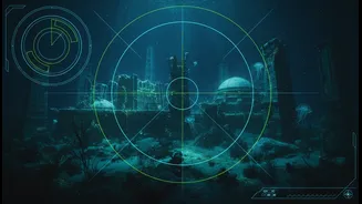
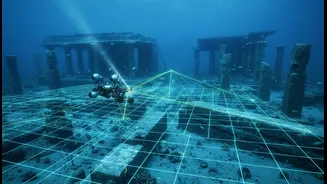
Marine archaeologists use several types of sonar for this work. Side-scan sonar is a popular method that creates a wide, fan-shaped acoustic image on either side of the vessel, excellent for mapping large areas and spotting anomalies. Multibeam echo sounders (MBES) send out a whole fan of sound beams at once, creating highly detailed bathymetric (depth) maps. When the sonar data reveals shapes that look too regular or geometric to be natural—like straight lines, right angles, or circular patterns—archaeologists know they might be onto something. These 'acoustic shadows' can indicate man-made structures like walls, foundations, or even shipwrecks.
Putting Boots on the Seabed
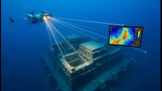
A compelling sonar image is just the beginning. The next step is visual verification. Teams deploy Remotely Operated Vehicles (ROVs), which are like underwater drones equipped with high-definition cameras, to get a closer look without risking human divers. If the ROV footage confirms the target is promising, a team of specially trained divers is sent down. These divers conduct physical inspections, take measurements, and sometimes perform small-scale excavations, known as airlifting, to gently remove sediment and uncover what lies beneath. This is how scattered dressed stone blocks, fallen walls, and pottery from the Sangam era have been confirmed at sites off both Poompuhar and Mahabalipuram.
The Significance of the Search
This painstaking work, led by institutions like the National Institute of Ocean Technology (NIOT) and the Tamil Nadu State Department of Archaeology, is about more than just finding old stones. Each confirmed structure helps validate ancient literary sources, provides invaluable data on past sea levels and coastal changes, and deepens our understanding of India's rich maritime history. Explorations off Poompuhar have revealed what appears to be a large, U-shaped structure at a depth of 23 meters and evidence of a submerged palaeo-channel of the river Cauvery, suggesting a landscape vastly different from today's. These findings are crucial pieces in the puzzle of reconstructing a history that was, until now, largely lost to the sea.