





Our Eye on the Ocean
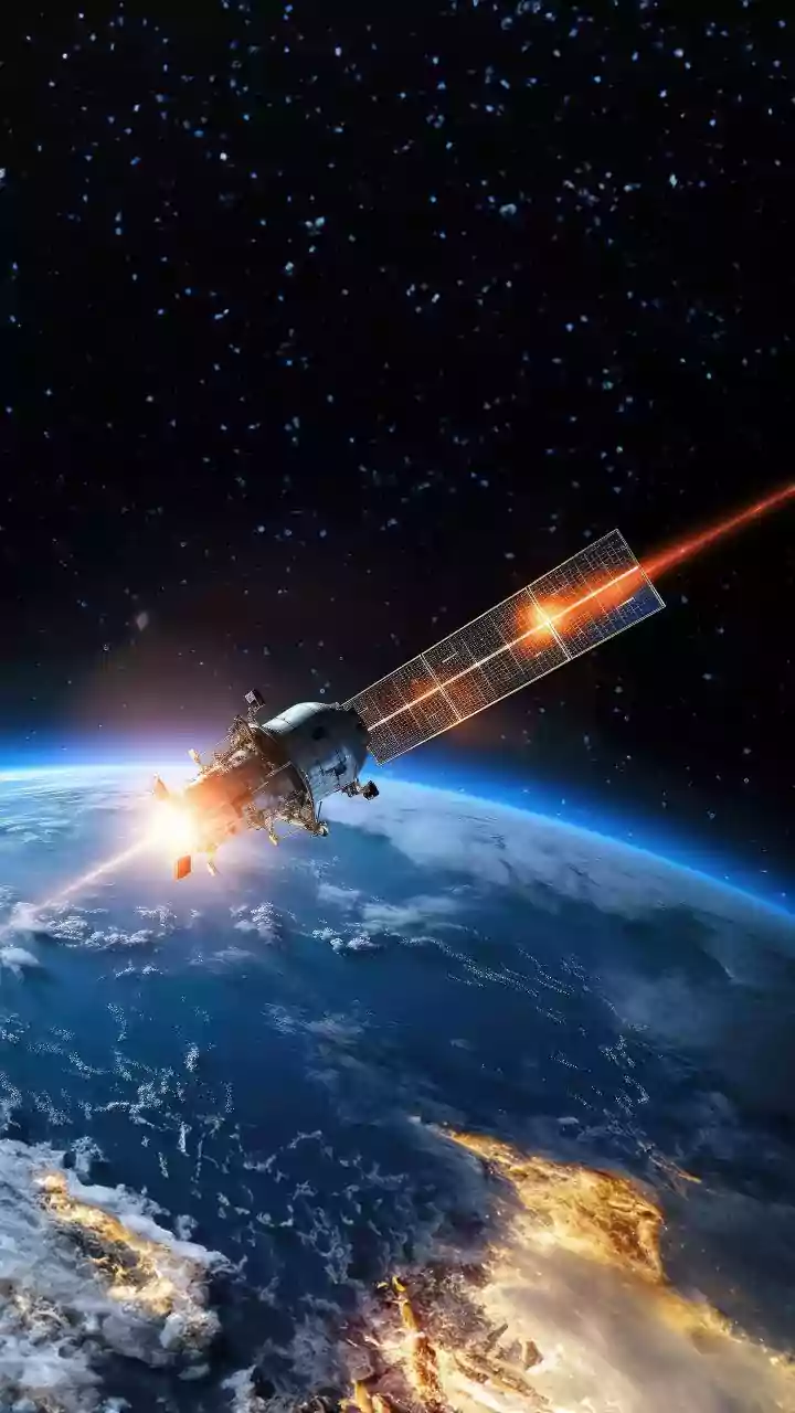
For decades, scientists have relied on Earth-orbiting satellites to act as global watchdogs for our oceans. Instruments on satellites from NASA and the European Space Agency constantly scan the seas, looking for changes in water colour. The key signal
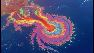
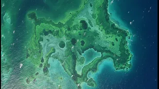
they are often searching for is the green pigment, chlorophyll, which indicates the presence of phytoplankton, or microscopic algae. When conditions are right—often a combination of warm water and high levels of nutrients from agricultural runoff or pollution—these algae populations can explode into what are known as algal blooms. These events can stretch for hundreds of kilometres and are easily visible from space. This satellite data is the foundation of global marine conservation models, which are complex systems used to track ocean health, predict toxic events, and manage marine resources.
The Problem with a Surface-Level View
The challenge lies in what the headline calls “visual density.” Satellites are excellent at seeing the surface of the water, but their vision is only skin-deep, typically limited to what is known as the first “optical depth.” They measure the colour reflected from this top layer. While this can confirm a bloom’s existence and its geographic spread, it struggles with a crucial third dimension: its density and depth. A very dense, thick bloom can saturate the satellite's sensors. The satellite effectively sees “very green” but cannot distinguish between a moderately high concentration of algae and an extremely high one. Both might appear similarly intense from orbit. This limitation means we can easily underestimate the total biomass of a bloom. A recent study highlighted this issue, noting that unless a high concentration of algae is present right on the surface, satellite methods may fail to capture the entire scope of the event.
When Conservation Models Get It Wrong
This discrepancy between the satellite view and the on-the-ground reality has profound implications for the predictive models that guide marine conservation. These models are only as good as the data they are fed. If the satellite data consistently underestimates the true mass of algal blooms, then the models will in turn produce inaccurate forecasts. A model might predict a minor, manageable bloom when, in reality, a massive, ecosystem-threatening event is unfolding beneath the surface. This can lead to a false sense of security and a critical delay in response. Efforts to forecast harmful algal blooms (HABs), which produce toxins dangerous to marine life and humans, are particularly vulnerable. Inaccurate data means that warnings to fisheries, health authorities, and desalination plants could come too late or not at all.
Real-World Consequences for Our Coasts
The consequences of these modelling errors are not just academic. Inaccurate assessments of algal blooms can lead to catastrophic fish kills when blooms die off, decompose, and consume all the oxygen in the water, creating vast “dead zones.” In India, harmful algal blooms are an increasing threat along both the east and west coasts, with hotspots identified near major coastal cities like Kochi and Vizhinjam. These blooms threaten local fisheries, which are vital to the economy and food security of coastal communities. The blooms seen in the Arabian Sea and the Bay of Bengal can be particularly dynamic and difficult to track. If conservation and management bodies are working with data that downplays the severity of these events, their ability to protect sensitive marine ecosystems and the livelihoods dependent on them is severely compromised.
Toward a More Accurate Picture
The solution isn't to abandon our invaluable eye in the sky, but to augment it. Scientists are now focused on creating a more robust, multi-faceted approach. This involves integrating satellite data with other technologies to get a more three-dimensional picture. Advances in artificial intelligence are helping to fuse data from multiple satellite sensors to draw more accurate conclusions. Furthermore, this top-down view is being combined with bottom-up measurements from a range of other tools: autonomous underwater vehicles, sensor-equipped buoys, and traditional water sampling from ships provide the ground truth that satellites cannot. By pairing the broad coverage of satellites with detailed, in-situ measurements, researchers can better calibrate their models and understand the true density and impact of these colossal blooms.