









A Data Deluge From The Cosmos
Every day, our planet is photographed and scanned by a growing constellation of more than 10,000 active satellites. These orbital eyes generate an almost unimaginable amount of information—the European Space Agency (ESA) notes that its satellites alone
can produce over 150 terabytes of data daily. This data comes in many forms, including optical imagery similar to what a camera captures, radar that can see through clouds, and thermal imaging that detects heat. For decades, the sheer volume has been both a blessing and a curse. While the data holds immense potential for everything from climate science to urban planning, manually analyzing it is an impossible task. The challenge has been to find a way to translate this flood of raw data into actionable insights, a problem that is now being solved by artificial intelligence.
AI as the Ultimate Translator
Artificial intelligence, and specifically its subfield machine learning, is the breakthrough technology making sense of this cosmic data. AI algorithms can be trained to sift through petabytes of satellite imagery to identify patterns, detect changes, and make predictions far faster and more accurately than any human could. Think of it like a super-powered analyst that never sleeps. It can learn to spot the tell-tale signs of deforestation, identify specific crop types across millions of acres, or detect infrastructure damage after a natural disaster by comparing new images to old ones. NASA and IBM, for example, have collaborated to release an open-source geospatial AI model trained on NASA's extensive Earth observation data to accelerate scientific discovery and response to challenges like climate change.
Real-World Impact: Farms, Floods, and Forests
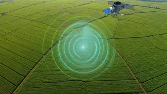
The applications of this powerful duo are already transforming critical sectors. In agriculture, AI analyzes satellite data to monitor crop health, assess soil moisture, and predict yields, helping farmers optimize resources. For disaster management, the combination is a game-changer. AI can rapidly scan satellite images after a flood or wildfire to map the extent of the damage, identifying destroyed buildings or blocked roads to guide emergency responders. After Hurricane Ida, for instance, AI was used with satellite imagery to detect blue tarps on damaged roofs, providing a clear measure of community impact. This technology is also vital for monitoring climate change, from tracking the melting of glaciers and ice sheets to identifying sources of greenhouse gas emissions like methane with remarkable precision.
The New Frontier: AI in Orbit
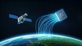
The next evolution of this partnership is to move the AI from Earth into space itself. Processing data directly on satellites, known as edge computing, can drastically reduce the time it takes to get insights. This allows for real-time decision-making, such as a satellite autonomously detecting a wildfire and immediately focusing its sensors on the event without waiting for commands from the ground. Indian startups are also entering this new race. In a significant move, space-tech company Pixxel and AI firm Sarvam AI have announced plans to build an orbital data centre. Their Pathfinder satellite, expected to launch in late 2026, will house powerful computing hardware to process data directly in space. This addresses the growing energy and infrastructure demands of terrestrial data centres and pushes India towards a new era of sovereign control over its intelligence infrastructure.