


The Monsoon's Allure and Peril
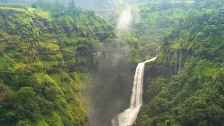
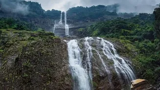
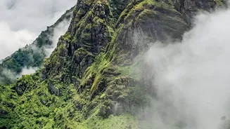
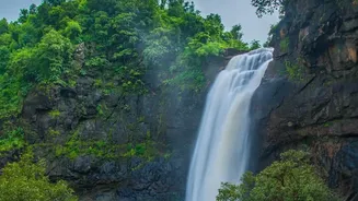
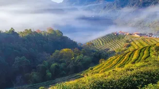
Every year, as the monsoon clouds gather over peninsular India, the Western Ghats transform into a vibrant green paradise. The oppressive summer heat gives way to cool, rain-soaked winds, and dormant waterfalls burst back to life. For thousands of trekking
enthusiasts from cities like Mumbai, Pune, and Bengaluru, this is the call of the wild. Trails in the Sahyadris of Maharashtra and the hills of Karnataka become magnets for adventurers seeking to witness this seasonal spectacle. However, the same rains that bring the landscape to life also introduce serious dangers. Slippery lateritic rock can feel like glass, peaceful streams can swell into impassable torrents within minutes, and dense fog can reduce visibility to almost zero, disorienting even seasoned trekkers. Incidents of trekkers getting lost, sometimes with tragic outcomes, have highlighted the need for better safety protocols. In response, both authorities and trekking organisations are tightening rules, with many popular trails now subject to bans or requiring certified guides.
More Than Just a Map in Your Pocket
When we talk about using GPS, it's easy to think of the navigation apps on our smartphones. But in the remote valleys of the Western Ghats, where mobile signal is a luxury, these are often useless. The real game-changer is a different class of device: satellite messengers and personal locator beacons (PLBs). Gadgets from brands like Garmin or SPOT use satellite networks, not cellular towers, allowing them to function almost anywhere on the planet. These devices offer more than just a blue dot on a map. Key features include two-way satellite messaging, which allows a trek leader to stay in constant contact with a base camp, and live tracking, where the group's real-time location is visible to a remote monitoring team. Most importantly, they feature an SOS button that can send a distress signal with precise coordinates directly to emergency response services, providing a crucial link when all other communication fails.
How It Works on the Trail
Imagine a group trekking through the dense forests of Kodagu. The fog rolls in, and the trail ahead vanishes. The group is effectively blind. In the past, this scenario could lead to panic and a long, dangerous wait for rescue. Today, a trek leader can use a satellite messenger to text their base camp. The remote team, watching the group's live track on a screen, can see their exact position relative to the trail. They can then text back precise instructions: “You are 50 metres west of the path. Turn east and walk for two minutes to rejoin it.” Following a series of mishaps, the Karnataka Forest Department has rolled out a Standard Operating Procedure (SOP) that makes guides mandatory and equips them with GPS-enabled devices. Trekkers are also required to install a tracking app for real-time monitoring. These systems create a digital safety net, allowing for constant communication and immediate alerts if a group deviates from its route or fails to check in.
A Tool, Not a Substitute for Skill
While this technology is revolutionary, experts are quick to caution that it is not a magic wand. A GPS device cannot make a slippery rock less treacherous, nor can it carry an unprepared trekker up a steep incline. Experienced organisers stress that technology is an aid, not a replacement for fundamental trekking skills, physical fitness, and sound judgment. The effectiveness of these devices depends on battery life, a clear view of the sky for satellite connection, and, crucially, a trained person on the other end who knows how to interpret the data. Trekking agencies emphasize that the core principles of safety remain unchanged: check the weather, carry proper gear, trek with a certified guide, and never underestimate the mountain. The live signal is one layer in a multi-layered safety strategy that includes everything from first-aid kits and stretchers to the experience of the local guide.