




Our Unblinking Eyes in the Sky
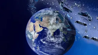
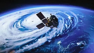
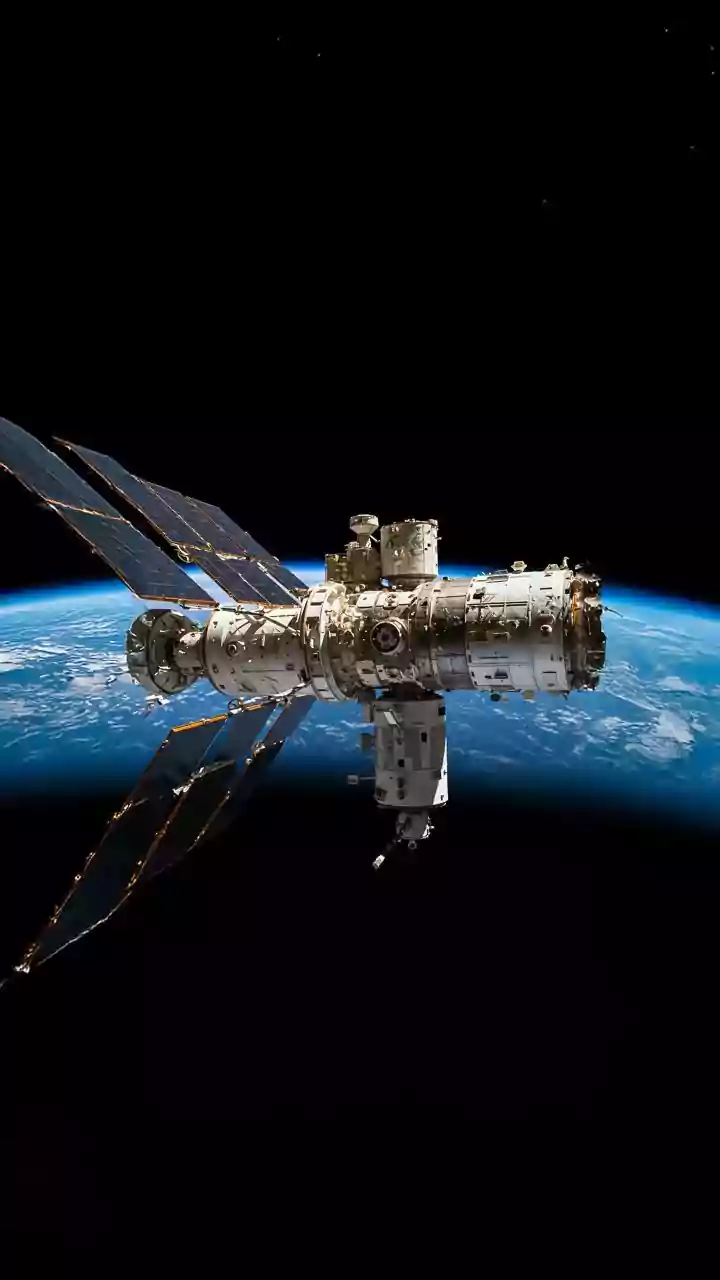
From hundreds of kilometres above, Earth observation satellites operated by ISRO and other international space agencies act as our planet's remote diagnosticians. These are not just cameras taking simple pictures; they are equipped with highly sophisticated
instruments. Radar altimeters, for instance, can measure the sea surface height with millimetre-level precision, allowing scientists to track sea-level rise over time. Other sensors, like radiometers, monitor sea surface temperatures, a key factor in the formation of cyclones and the health of coral reefs. A particularly powerful technology is Synthetic Aperture Radar (SAR), which can see through clouds and operate day or night to map land and ice surfaces with incredible detail. This allows researchers to detect subtle shifts in the coastline, even changes as small as a centimetre.
Turning Data Into Actionable Insights
Raw satellite data is a stream of numbers. The magic happens when this information is processed and analysed by institutions like the National Centre for Coastal Research (NCCR) in India. Scientists combine decades of satellite imagery with on-the-ground field surveys to build a comprehensive picture of how our coasts are transforming. By comparing images from different years, they can precisely calculate the rate of erosion (land loss) or accretion (land gain). This data feeds into complex climate models that help forecast future changes and identify which areas are most at risk. This process transforms abstract data points into detailed shoreline maps and vulnerability assessments that are vital for planners and policymakers.
The Alarming Story of India's Coastline
The data from these satellites paints a concerning picture for India. According to the NCCR, which has monitored the shoreline from 1990 to 2018, about 34% of India's mainland coast is experiencing some degree of erosion. West Bengal is the most affected, with over 60% of its coastline eroding. This is followed by Kerala (46.4%) and Tamil Nadu (42.7%), which also face significant land loss. The impacts are tangible, threatening coastal communities, infrastructure, and the livelihoods of millions who depend on fishing. In fragile ecosystems like the Sundarbans, rising sea levels and erosion are causing significant land loss and forcing communities to relocate. The data pinpoints these hotspots, allowing authorities to focus their resources where they are needed most.
Beyond Just a Receding Shoreline
The impact of climate change on coasts, as seen from space, goes far beyond simple erosion. Satellites tracking sea surface temperatures can detect the conditions that lead to coral bleaching, a devastating phenomenon for marine biodiversity. They can also help monitor the health and extent of mangrove forests, which act as natural barriers against storm surges. Furthermore, as sea levels rise, the risk of saltwater intruding into coastal aquifers increases, threatening freshwater supplies for drinking and agriculture. Satellite observations help track changes in land use and water bodies, providing early warnings about this creeping threat. In essence, these technologies provide a holistic health check-up for our entire coastal ecosystem.
A Blueprint for a Resilient Future
This wealth of information is not just for academic study; it is a critical tool for survival and adaptation. The detailed maps and assessments produced from satellite data help state and central governments make informed decisions. They guide the construction of protective measures like sea walls, inform coastal zone management plans, and highlight areas where mangrove restoration can be most effective. The future of this technology is even more promising. The NASA-ISRO Synthetic Aperture Radar (NISAR) mission, a joint project, will map nearly the entire planet every 12 days with unprecedented accuracy. This will provide an even more dynamic and detailed view of changes to land, ice, and sea, empowering India and the world to better manage natural hazards and build coastal resilience.