




The View from Above
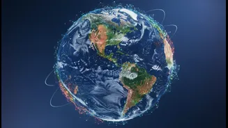
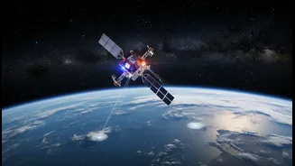
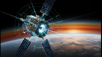
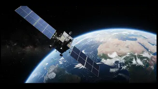
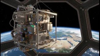
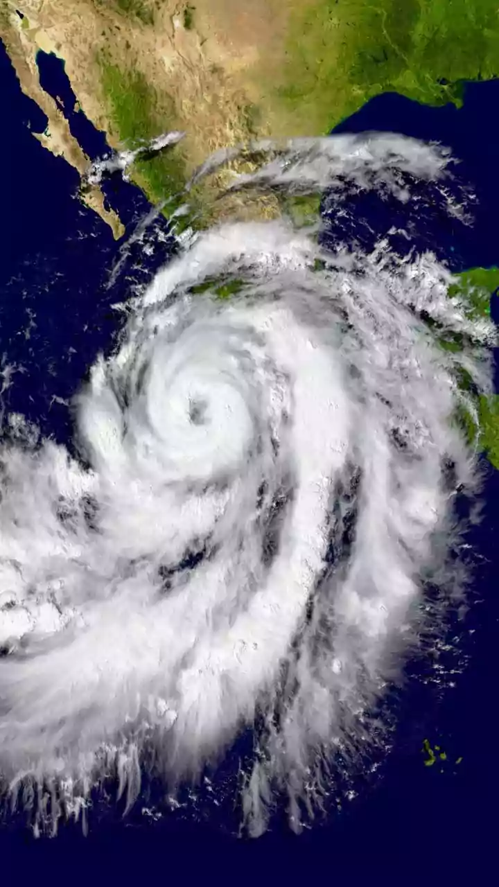
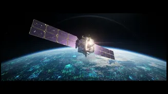
For decades, satellites have revolutionized our ability to monitor the planet. They provide consistent, global coverage that would be impossible to achieve from the ground, especially in remote areas like the polar ice caps or the vast expanse of our oceans.
Instruments in space can measure a wide range of essential climate variables, including sea surface temperature, sea levels, ice thickness, and atmospheric carbon dioxide concentrations. This global perspective is invaluable, allowing scientists to build long-term datasets, identify large-scale trends, and see how different parts of the Earth's system are interconnected. Without satellites, our understanding of the sheer scale of climate change would be significantly limited.
What the Eye in the Sky Can't See
Despite their power, satellites have limitations. The data they collect can be affected by factors like cloud cover, sensor degradation over time, or atmospheric distortions. They also have a relatively short history, with most reliable records only going back about 50 years—a blink of an eye in climatic terms. Furthermore, a satellite can't tell a pinyon tree from a juniper, measure the chemical composition of soil deep underground, or capture the precise temperature of a single patch of ocean water. Their spatial resolution, while improving, can sometimes be too coarse to detect fine-scale changes that are critical for understanding local impacts. For example, a single pixel in a satellite image might cover several square kilometers, averaging out important details on the ground.
The Importance of 'Ground-Truthing'
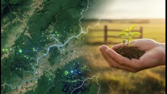
This is where 'ground-truthing' comes in. This essential scientific practice involves collecting data on site to verify and calibrate what satellites are observing from space. Scientists take direct measurements on the ground to ensure the imagery from above accurately reflects reality. This can involve field teams trekking to remote glaciers to measure ice thickness, deploying thousands of ocean buoys to record temperature and salinity, or taking soil samples to analyze carbon content. These ground-based observations are considered the 'gold standard' and are used to validate and refine the computer models that interpret satellite data. Without ground-truthing, satellite data would be far less reliable and our climate models less accurate.
Weaving a Complete Picture
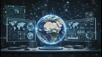
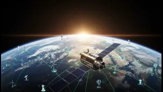
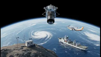
The most accurate understanding of our planet's climate comes from fusing multiple data sources together. Scientists combine the global overview from satellites with precise, localized measurements from weather stations, ocean floats, weather balloons, and aircraft. For understanding past climates, they turn to 'proxies' like tree rings, ice cores, and coral skeletons, which hold clues about historical conditions long before satellites existed. By integrating all these different types of data, researchers can build more robust and reliable climate models. This multi-faceted approach allows them to cross-check their findings, reduce uncertainties, and gain confidence in their projections for the future, helping to explain the causes of observed changes and guide policy decisions.