


The Problem with Waiting
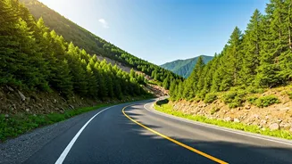
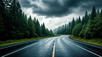
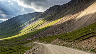
Picture the scene: you’re on a beautiful mountain road in Himachal or Uttarakhand, the rain has just stopped, but traffic is at a dead standstill. A landslide, big or small, has blocked the road ahead. The traditional approach is to wait for official
channels—news reports or police updates—which can take hours to trickle down. This information gap leaves travellers stranded, uncertain, and often forced to make risky decisions like turning back on narrow, congested roads. This delay isn't just an inconvenience; it can disrupt travel plans, cause missed connections, and create genuine safety concerns, especially if you're stuck after dark in an area with no network coverage.
The Power of the Crowd
This is where 'shared decentralized map forums' come in. While the term sounds complex, the concept is simple: it’s information by the people, for the people. Instead of a single, central authority (like a government department) broadcasting information, it relies on a network of individuals—other drivers, local residents, and commuters—sharing real-time updates. This is the 'decentralized' aspect: no single point of failure and an information flow that is immediate and ground-up. These platforms aren't necessarily new-age blockchain apps; they are often the social media tools and map apps you already use, repurposed for collective safety.
Where to Find This Information
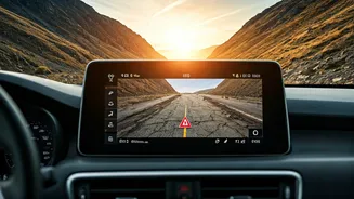
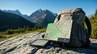
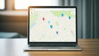
The most effective tools are often the most accessible. Before or during your journey through hilly terrain, especially in monsoon season, your smartphone is your best friend. Start by searching on platforms like Facebook. Look for public groups with names like 'Shimla Road Updates,' 'Uttarakhand Traffic and Weather,' or 'Mumbai-Pune Expressway Conditions.' These forums are goldmines of real-time data. Members post photos, videos, and precise locations of blockages, often within minutes of them happening. Similarly, features like Google Maps' live traffic (the red, orange, and green lines) and user-reported incidents (crashes, road closures) are a form of decentralized information sharing. Apps like Waze are built entirely on this principle, with users actively reporting everything from potholes to major blockages.
How to Vet Crowdsourced Info
The speed of crowdsourced information is its biggest strength, but it also requires a discerning eye. Not all updates are accurate. To avoid being misled, follow a few simple rules. First, check the timestamp. Information about a landslide from yesterday is useless. Look for posts made within the last hour. Second, prioritise updates with visual proof, such as a clear photo or a short video of the blockage. Third, cross-reference if possible. If one person reports a block at a certain kilometre marker, see if others in the forum are corroborating the story. Be wary of rumours or second-hand reports ('a friend of a friend said...'). Rely on direct observations from people who are physically there.
Becoming Part of the Solution
These community forums are a two-way street. If you are a regular traveller in hill ranges, you are not just a consumer of this information but a potential contributor. If you encounter a clear road, a minor blockage that has been cleared, or a fresh landslide (and you are in a safe position to do so), consider sharing an update. A quick, factual post—'Road clear at [location] as of [time]' or 'Small rockfall near [landmark], single-lane traffic moving'—can save hundreds of fellow travellers hours of uncertainty. By contributing, you strengthen the network and foster a culture of collective responsibility, making travel safer and more efficient for everyone on the road.