



What is Seafloor Spreading?
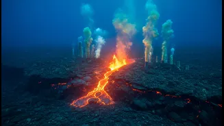
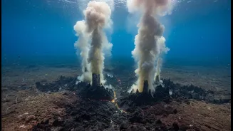
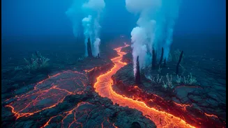
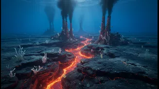
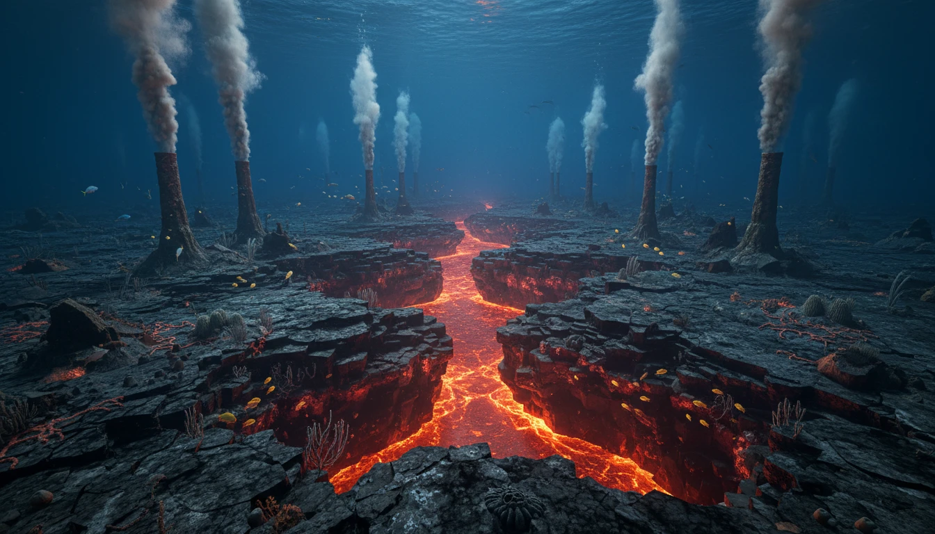
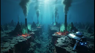
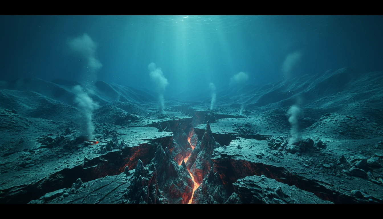
Seafloor spreading is a fundamental geological process where new oceanic crust is formed at underwater mountain ranges called mid-ocean ridges. Tectonic plates pull apart, and molten rock, or magma, from the Earth’s mantle rises to fill the gap. This
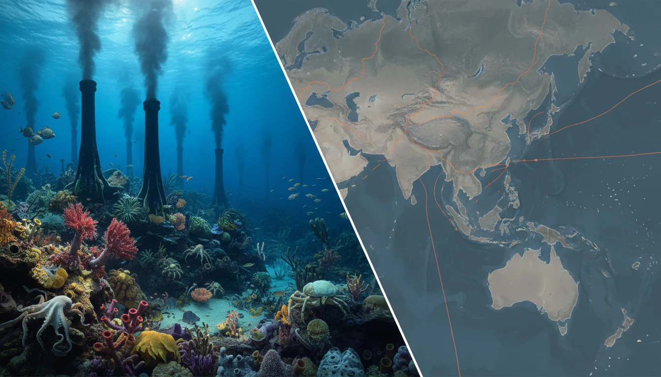
magma cools and solidifies, creating fresh seafloor. As more magma rises, the newly formed crust is pushed away from the ridge, much like a slow-moving conveyor belt. This process is happening continuously across the globe, creating the vast majority of our planet's crust. The Indian Ocean has its own complex system of these ridges, including the Carlsberg, Central, Southwest, and Southeast Indian Ridges. These ridges vary in how fast they spread, which creates a diverse and geologically rich environment for scientists to study.
A Unique Laboratory for Earthquakes
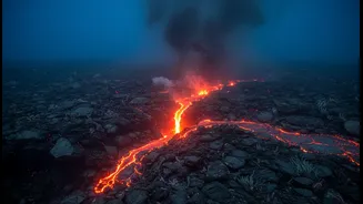
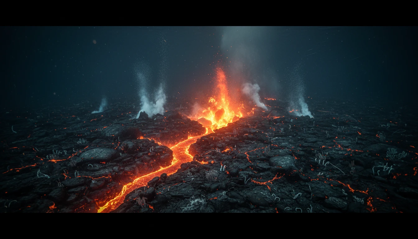
Mid-ocean ridges are zones of intense geological activity, marked by frequent faulting and earthquakes as the crust cracks and pulls apart. By studying these events, scientists can understand the mechanics of how rocks fracture and release energy as seismic waves. The Indian Ocean ridges are particularly valuable because they include sections that spread at slow, intermediate, and fast rates. Slow-spreading ridges tend to have more faulting and larger, more rugged terrain, while fast-spreading ones are more volcanically active. This variety allows researchers to compare how different conditions influence seismic behaviour. A recent, unprecedented observation at the Southeast Indian Ridge in April 2024 captured an entire spreading event in real-time. Instruments recorded an earthquake swarm as the seafloor sank by four metres and released a massive amount of lava, providing a complete picture of how the crust splits and magma behaves.
Insights into Magma and Volcanoes
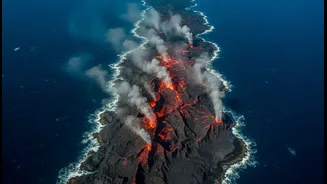
Seafloor spreading is a direct result of magma rising from the mantle. Studying these ridges provides a natural laboratory for understanding how and where magma is generated and how it travels through the crust. The 2024 event in the Indian Ocean, for example, showed how a magma reservoir deep below the crust collapsed, feeding dikes—vertical sheets of magma—that erupted on the seafloor. Over 16 days, an estimated 160 million cubic meters of lava created new oceanic crust. This direct observation helps scientists refine their models of volcanic eruptions, not just under the sea but also on land. The temperature of the deep mantle has been shown to control the amount of magma and the height of the ridges themselves, linking deep Earth processes to the shape of the seafloor.
Mapping a Constantly Changing Seafloor
The study of seafloor spreading is inseparable from the effort to map the ocean floor. Initiatives like the Seabed 2030 project aim to create a complete map of the world's oceans, and the Indian Ocean remains one of the least-mapped basins. Detailed maps are crucial for understanding everything from global plate tectonics to local hazards. The real-time observation of the spreading event in 2024 showed that decades of accumulated stress can be released in just a few days, dramatically reshaping the seabed. This kind of rapid change has practical implications, as critical infrastructure like undersea fibre-optic cables rests on the seafloor. Understanding where the crust is actively splitting and forming can help in planning safer routes for this vital global infrastructure.
Why This Isn't About Instant Prediction
While this research dramatically improves our understanding of earthquake mechanics, it is not a tool for short-term prediction. The 2024 event highlighted this complexity: a significant portion of the seafloor movement occurred without strong, recordable earthquakes, a phenomenon known as aseismic slip. This means that large-scale crustal movements can happen silently, without the seismic precursors we typically monitor for prediction. The goal of this research is more fundamental: to build robust models of tectonic stress and crustal behaviour. This long-term understanding helps in assessing seismic hazards over decades and centuries, informing building codes and regional planning. It's about understanding the 'how' and 'why' of earthquakes, not the 'when' of the next big one.