






What is NISAR?
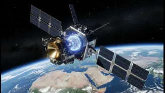
NISAR, which stands for NASA-ISRO Synthetic Aperture Radar, is a landmark collaborative Earth-observation mission between the United States' National Aeronautics and Space Administration (NASA) and the Indian Space Research Organisation (ISRO). Launched
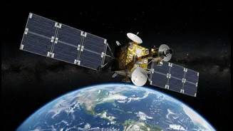
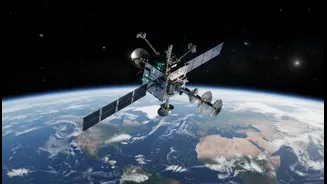
in July 2025, this SUV-sized satellite is equipped with the most advanced radar system ever sent into orbit. Unlike optical satellites that are hindered by clouds or darkness, NISAR uses radar to map the planet day and night, in all weather conditions. Its primary goal is to provide an unprecedentedly detailed and consistent view of our planet’s land and ice surfaces, tracking their changes with remarkable precision.
The Power of a 12-Day Cycle
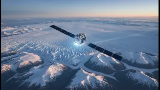
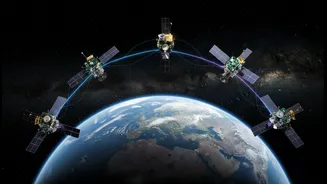
The satellite's true power lies in its relentless rhythm: it orbits the Earth from pole to pole, mapping the entire globe over a 12-day period. This rapid repeat cycle is a game-changer for monitoring our dynamic planet. By comparing images from different passes, scientists can detect subtle surface movements down to a fraction of an inch. This frequent monitoring creates a time-lapse movie of the entire planet, revealing processes that were previously too slow or too vast to observe effectively. From the slow creep of a glacier to the sudden shift before an earthquake, the 12-day revisit provides the consistent data needed to understand and forecast these changes.
Seeing the Unseen with Dual-Frequency Radar
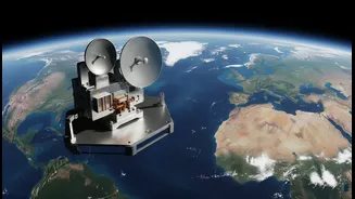
NISAR is the first satellite mission to use two different radar frequencies—the L-band (from NASA) and the S-band (from ISRO)—to measure surface changes. This dual-frequency approach provides a richer, more comprehensive picture. The longer wavelength L-band radar can penetrate through forest canopies to measure the ground beneath, while the shorter S-band is excellent for monitoring crop growth and soil moisture. Together, they create a powerful tool that can see through vegetation, clouds, and even darkness, delivering a constant stream of high-resolution data that will be made freely available to the public.
A Game-Changer for India and the World
The applications for India are immense. ISRO has identified key areas where NISAR data will be transformative, including monitoring agricultural biomass to ensure food security, tracking the health of Himalayan glaciers which are critical water sources, and improving disaster management for hazards like landslides, floods, and earthquakes. For example, by creating a rich archive of images before a disaster strikes, authorities can more quickly assess damage and deploy aid effectively. The mission will also provide vital information on groundwater depletion, coastal erosion, and the overall health of ecosystems like forests and wetlands.
A Partnership for the Planet
The NISAR mission represents a milestone in the long-standing partnership between NASA and ISRO, combining the expertise and technological prowess of both space agencies. ISRO provided the S-band radar, the GSLV launch vehicle, and launch services, while NASA provided the L-band radar, the large reflector antenna, and other key components. This collaboration not only advances scientific understanding but also provides critical data that will help policymakers and communities in India and across the globe make informed decisions to protect infrastructure, manage resources, and prepare for a changing climate. All data from the mission will be open and accessible, empowering a global community of researchers and responders.