


The Romanticised Risk of Monsoon Driving
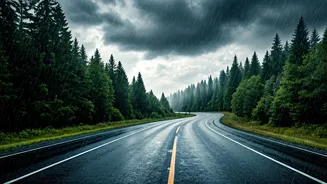
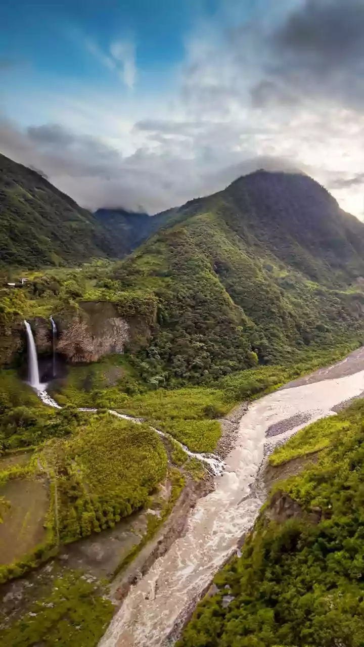
There’s a certain magic to hitting the road during the Indian monsoon. The dusty summer landscape transforms into a lush, vibrant green, the air cools, and the promise of a hot cup of chai at a roadside dhaba is powerfully alluring. From the Western Ghats
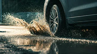
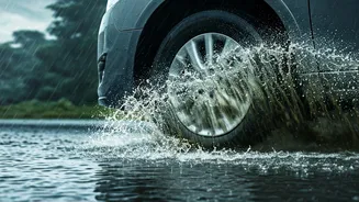
to the hills of the north, families and friends pack into cars seeking a scenic escape. But the very element that makes these trips beautiful—the rain—also makes them perilous. What starts as a gentle shower can rapidly escalate into a torrential downpour, turning roads into rivers, obscuring vision, and creating conditions ripe for disaster. The reality is that monsoon roads are unpredictable. We can no longer rely on old assumptions or a quick weather check in the morning; a smarter approach is needed.
Why Your Morning Forecast Is Not Enough
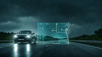
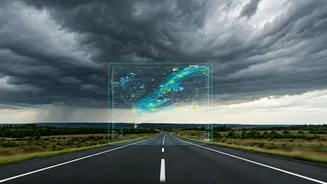
Relying on a morning weather report for a monsoon road trip is like using a map from last year. It gives you a general idea, but it misses the critical, on-the-ground changes. Monsoon weather systems are notoriously localised and volatile. A forecast might predict “scattered showers” for a district, but that doesn’t tell you if a specific ghat road on your route is about to experience a cloudburst leading to a potential landslide. This is the crucial gap that live, dynamic data needs to fill. A static forecast gives you a plan; a live map gives you the ability to react. It’s the difference between knowing it might rain and knowing that a severe storm cell is moving directly towards your location in the next 15 minutes.
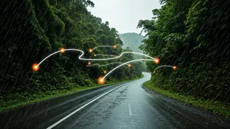
The Power of a ‘Shared’ Map
This is where the concept of a shared live weather map becomes a game-changer. It isn't just about one person, the driver, having access to information. It’s about creating a connected, informed group in the car or across a convoy of vehicles. When you share your live location and have a weather layer activated, everyone is on the same page. A co-passenger can monitor the route ahead for incoming storm patches, freeing the driver to focus on the immediate, slippery conditions. If you’re travelling in multiple cars, a shared map ensures the lead car doesn’t guide the others into a newly flooded area. It democratises safety information, turning every passenger into a potential lookout and transforming a solo navigation task into a collaborative safety effort. This collective awareness is the single biggest technological leap you can make for your group’s protection.
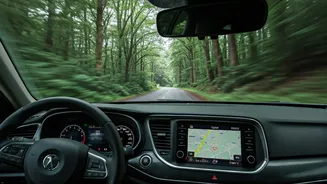
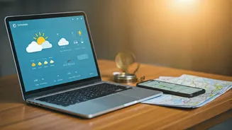
Essential Tools for Your Digital Dashboard
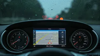
Putting this strategy into practice is surprisingly simple. Most of us already have the necessary tools on our phones. Here are the essentials: 1. **Google Maps:** The undisputed king of navigation now includes a weather layer. You can activate it to see real-time precipitation overlays on your route. Its location-sharing feature is robust and easy to use, allowing your group to track each other’s progress and stay coordinated. 2. **AccuWeather / The Weather Channel:** These dedicated weather apps provide more granular data, including radar maps showing the intensity and direction of rain clouds (via their MinuteCast or Smart Forecast features). Use these alongside your navigation app. Designate someone in the car as the ‘weather officer’ to monitor these detailed maps for any developing threats. 3. **Waze:** While primarily for traffic, Waze’s crowdsourced alerts are invaluable. Users report real-time hazards like potholes, flooding, and accidents. During the monsoon, this real-time human intelligence can be even more useful than a weather radar, warning you of a blocked road just a few kilometres ahead.
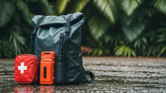
Best Practices for On-the-Road Safety
Having the apps is one thing; using them effectively is another. Before and during your trip, establish a clear protocol. * **Pre-Trip Briefing:** Before you even start the engine, gather your group and ensure everyone has the primary apps downloaded and knows how to share their location. * **Designate a Navigator:** One person drives, another navigates and monitors the weather. This division of labour is crucial for maintaining focus. * **Set Up a Group Chat:** Use a WhatsApp group for quick communication. Share screenshots of the weather radar or alerts from Waze so everyone, including those in other cars, sees the same information instantly. * **Trust the Data, But Also Your Eyes:** If the road ahead looks flooded or a stream is overflowing, do not attempt to cross it, no matter what the map says. Technology is a guide, not a guarantee. Your judgement remains the most important safety tool.