





The Challenge: Navigating in a Void
On Earth, we take GPS for granted. It powers our maps, coordinates our logistics, and is woven into our digital lives. The Moon has no such system. Earth’s Global Navigation Satellite Systems (GNSS), like GPS, are designed for users on or near the planet.
Their signals are incredibly faint by the time they reach lunar distances, making them difficult to use for precise positioning on the surface. The Moon also presents unique challenges: it has no significant magnetic field for compasses, radio signals from Earth are delayed, and the landscape is a mix of vast, similar-looking plains and chaotic, cratered terrain. For a robot tasked with building a structure at a precise location, being off by even a few metres could be catastrophic. This lack of a reliable positioning, navigation, and timing (PNT) service is a major hurdle for the entire lunar economy.
The Solution: A GPS for the Moon
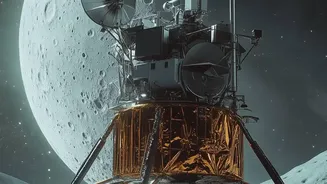
To solve this, space agencies are racing to create the Moon's first dedicated navigation network. The European Space Agency's (ESA) Moonlight initiative aims to place a constellation of satellites into lunar orbit. This network will provide communications and navigation services, allowing for positioning with a precision of just a few metres. ESA plans to be the first 'off-planet' commercial telecom and navigation provider, creating an essential piece of infrastructure that missions can pay to use, rather than building their own costly systems from scratch. Similarly, NASA is developing its LunaNet architecture, an interoperable framework designed to create an 'internet' of the Moon. This system will allow different missions from various agencies and private companies to communicate and navigate seamlessly. China is also advancing its own Queqiao constellation to support its planned International Lunar Research Station.
How Lunar Navigation Will Work
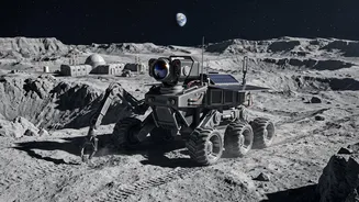
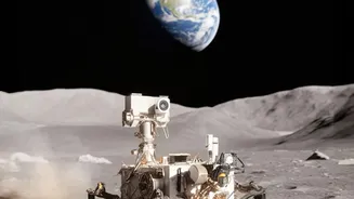
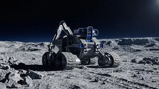
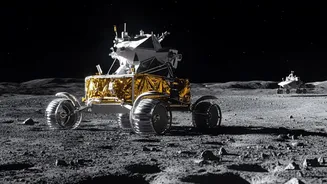
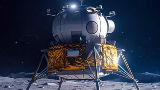
These new systems will function much like a celestial GPS. A constellation of three or four satellites orbiting the Moon will broadcast timing signals. A robotic rover or a lander on the surface will receive these signals and use them to triangulate its precise location. NASA is also exploring concepts like 'reverse-ephemeris' navigation, a novel approach where a surface rover sends a signal to a satellite with a known orbit to determine its position, simplifying the satellite's technology. In the near term, navigation will be a hybrid affair. Rovers will use a combination of techniques, including signals from Earth-based GPS where possible, inertial measurement units (like accelerometers and gyroscopes), and visual navigation that compares the landscape to detailed maps. Some plans even involve dropping local navigation beacons at work sites to create a smaller, localized positioning grid for construction robots.
Unlocking the Lunar Economy
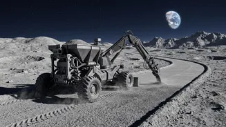
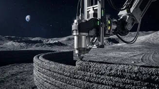
A reliable navigation network is more than just a map; it's a foundational utility. Just as GPS enabled industries like ride-sharing and precision agriculture on Earth, a lunar PNT service will unlock a host of activities on the Moon. It will be essential for the robotic construction of habitats, landing pads, and roads, which are necessary before humans can arrive for long-duration stays. Autonomous rovers will need it to efficiently mine for resources like water ice and titanium, and to transport those materials across the surface. For scientists, it will allow for precise data collection, ensuring that samples and measurements are accurately geolocated. Ultimately, this navigation grid is the invisible infrastructure that will underpin a sustainable human presence and a thriving commercial economy on the Moon, which analysts project could be worth nearly €190 billion by 2034.